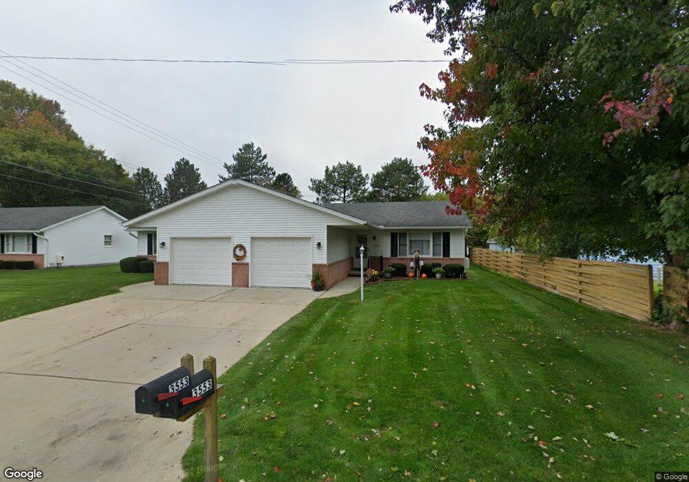
3553 Holland Park Ln Unit I2 Port Huron, MI 48060
Estimated Value: $167,691 - $188,000
2
Beds
2
Baths
1,080
Sq Ft
$164/Sq Ft
Est. Value
About This Home
This home is located at 3553 Holland Park Ln Unit I2, Port Huron, MI 48060 and is currently estimated at $177,173, approximately $164 per square foot. 3553 Holland Park Ln Unit I2 is a home located in St. Clair County with nearby schools including Garfield Elementary School, Holland Woods Middle School, and Port Huron Northern High School.
Ownership History
Date
Name
Owned For
Owner Type
Purchase Details
Closed on
Mar 18, 2011
Sold by
Matteson Patricia A and Black Patricia A
Bought by
Choiniere Ann F
Current Estimated Value
Purchase Details
Closed on
Sep 29, 2008
Sold by
Watson George C
Bought by
Black Patricia A
Home Financials for this Owner
Home Financials are based on the most recent Mortgage that was taken out on this home.
Original Mortgage
$54,000
Interest Rate
6.52%
Mortgage Type
New Conventional
Create a Home Valuation Report for This Property
The Home Valuation Report is an in-depth analysis detailing your home's value as well as a comparison with similar homes in the area
Home Values in the Area
Average Home Value in this Area
Purchase History
| Date | Buyer | Sale Price | Title Company |
|---|---|---|---|
| Choiniere Ann F | $67,000 | None Available | |
| Black Patricia A | $92,500 | None Available |
Source: Public Records
Mortgage History
| Date | Status | Borrower | Loan Amount |
|---|---|---|---|
| Previous Owner | Black Patricia A | $54,000 |
Source: Public Records
Tax History Compared to Growth
Tax History
| Year | Tax Paid | Tax Assessment Tax Assessment Total Assessment is a certain percentage of the fair market value that is determined by local assessors to be the total taxable value of land and additions on the property. | Land | Improvement |
|---|---|---|---|---|
| 2025 | $1,780 | $77,400 | $0 | $0 |
| 2024 | $1,489 | $73,900 | $0 | $0 |
| 2023 | $1,407 | $65,800 | $0 | $0 |
| 2022 | $1,448 | $58,800 | $0 | $0 |
| 2021 | $1,375 | $46,900 | $0 | $0 |
| 2020 | $1,391 | $42,200 | $42,200 | $0 |
| 2019 | $1,366 | $37,200 | $0 | $0 |
| 2018 | $1,336 | $37,200 | $0 | $0 |
| 2017 | $1,193 | $35,400 | $0 | $0 |
| 2016 | $1,016 | $35,400 | $0 | $0 |
| 2015 | $997 | $29,700 | $29,700 | $0 |
| 2014 | $997 | $27,800 | $27,800 | $0 |
| 2013 | -- | $29,100 | $0 | $0 |
Source: Public Records
Map
Nearby Homes
- 1424 Hazelwood Ln
- 3419 Riverside Dr
- 3208 Mount Vernon Rd
- 3214 Poplar St
- 3321 Stone St
- 1020 Sanborn St
- 1531 Robinson St
- 2913 11th Ave
- 3515 Strawberry Ln
- 3455 Gratiot Ave
- 1202 Palmer Ct
- 1434 Schumaker St
- 2812 19th Ave
- 2857 Riverside Dr
- 1218 Garfield St
- 2215 Hancock St
- 0000 Willow Ln
- 3196 Oakwood Dr
- 1116 Hancock St
- 2806 Woodstock Dr
- 3551 Holland Park Ln
- 1736 Holland Ave
- 3549 Holland Park Ln
- 3547 Holland Park Ln
- 3526 Holland Park Lane #6
- 1724 Holland Ave
- 3564 Crimson Ct
- 3560 Crimson Ct
- 3534 Holland Park Ln
- 3532 Holland Park Ln
- 3532 Holland Park Ln Unit 9
- 3530 Holland Park Ln
- 3556 Crimson Ct
- 3528 Holland Park Ln
- 3526 Holland Park Ln Unit 6
- 1714 Holland Ave
- 3543 Holland Park Ln
- 3524 Holland Park Ln
- 3522 Holland Park Ln
- 3541 Holland Park Ln