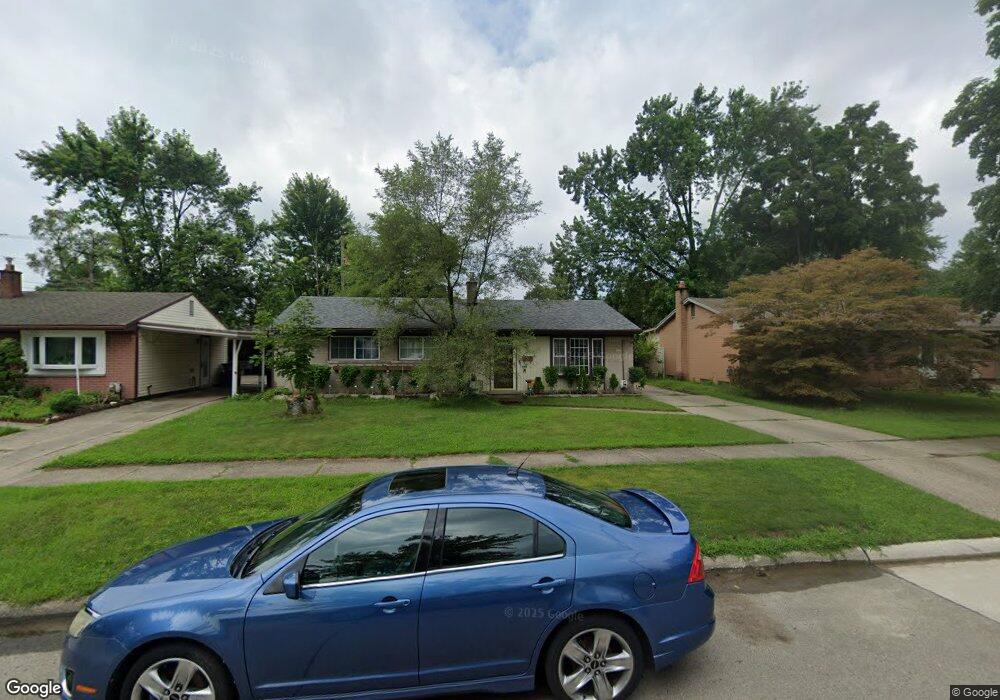
35545 Florane St Unit Bldg-Unit Westland, MI 48186
Estimated Value: $186,000 - $228,000
--
Bed
1
Bath
1,100
Sq Ft
$190/Sq Ft
Est. Value
About This Home
This home is located at 35545 Florane St Unit Bldg-Unit, Westland, MI 48186 and is currently estimated at $209,413, approximately $190 per square foot. 35545 Florane St Unit Bldg-Unit is a home located in Wayne County with nearby schools including Wildwood Elementary School, Marshall Upper Elementary School, and Adlai Stevenson Middle School.
Ownership History
Date
Name
Owned For
Owner Type
Purchase Details
Closed on
Feb 2, 2018
Sold by
White Austin
Bought by
Reyes Natalia
Current Estimated Value
Home Financials for this Owner
Home Financials are based on the most recent Mortgage that was taken out on this home.
Original Mortgage
$82,066
Interest Rate
5.5%
Mortgage Type
FHA
Purchase Details
Closed on
Feb 12, 2016
Sold by
Harrington Benjamin Robert and Harrington Benjamin R
Bought by
White Austin
Home Financials for this Owner
Home Financials are based on the most recent Mortgage that was taken out on this home.
Original Mortgage
$53,600
Interest Rate
3.79%
Mortgage Type
New Conventional
Create a Home Valuation Report for This Property
The Home Valuation Report is an in-depth analysis detailing your home's value as well as a comparison with similar homes in the area
Home Values in the Area
Average Home Value in this Area
Purchase History
| Date | Buyer | Sale Price | Title Company |
|---|---|---|---|
| Reyes Natalia | $84,900 | Coretitle Llc | |
| White Austin | $67,000 | Fnt |
Source: Public Records
Mortgage History
| Date | Status | Borrower | Loan Amount |
|---|---|---|---|
| Previous Owner | Reyes Natalia | $82,066 | |
| Previous Owner | White Austin | $53,600 |
Source: Public Records
Tax History Compared to Growth
Tax History
| Year | Tax Paid | Tax Assessment Tax Assessment Total Assessment is a certain percentage of the fair market value that is determined by local assessors to be the total taxable value of land and additions on the property. | Land | Improvement |
|---|---|---|---|---|
| 2025 | $2,605 | $85,100 | $0 | $0 |
| 2024 | $2,605 | $79,400 | $0 | $0 |
| 2023 | $2,488 | $71,000 | $0 | $0 |
| 2022 | $2,879 | $63,300 | $0 | $0 |
| 2021 | $2,807 | $60,800 | $0 | $0 |
| 2020 | $2,776 | $55,500 | $0 | $0 |
| 2019 | $2,675 | $53,600 | $0 | $0 |
| 2018 | $1,745 | $47,400 | $0 | $0 |
| 2017 | $924 | $43,700 | $0 | $0 |
| 2016 | $1,635 | $43,600 | $0 | $0 |
| 2015 | $3,147 | $38,910 | $0 | $0 |
| 2013 | $3,049 | $31,120 | $0 | $0 |
| 2012 | $1,554 | $32,950 | $0 | $0 |
Source: Public Records
Map
Nearby Homes
- 36034 Rolf St
- 35193 Sansburn St
- 35608 Somerset St
- 35236 Glen St
- 36293 Monroe Ave
- 36323 Monroe Ave
- 344 S Christine
- 1510 S Crown St
- 357 S Dobson St
- 1811 S Harvey Ave
- 34728 Somerset St
- 32730 Palmer Rd
- 34465 Fairchild St
- 1853 S Linville Ave
- 1645 Regene St
- 34553 Hazelwood St
- 1519 S Dowling St
- 284 S Byfield St
- 1825 Liddicot Ave
- 366 S Wildwood St
- 35545 Florane St
- 35533 Florane St
- 35565 Florane St
- 35628 Rolf St
- 35616 Rolf St
- 35585 Florane St
- 35510 Avondale St
- 35640 Rolf St
- 35522 Avondale St
- 35540 Florane St
- 35552 Florane St
- 35603 Florane St
- 35534 Avondale St
- 35528 Florane St
- 35564 Florane St
- 35652 Rolf St
- 35496 Florane St
- 35655 Rolf St
- 35623 Florane St
- 35588 Florane St