35547 Davis Rd Bristow, OK 74010
Estimated Value: $136,000 - $319,805
3
Beds
1
Bath
1,090
Sq Ft
$209/Sq Ft
Est. Value
About This Home
This home is located at 35547 Davis Rd, Bristow, OK 74010 and is currently estimated at $227,903, approximately $209 per square foot. 35547 Davis Rd is a home located in Creek County with nearby schools including Edison Elementary School, Collins Elementary School, and Bristow Middle School.
Ownership History
Date
Name
Owned For
Owner Type
Purchase Details
Closed on
May 22, 2019
Sold by
Davis Ronald E and 2010 Revocable Trust Of Ronald
Bought by
Wilson Colby and Wilson Jennie
Current Estimated Value
Home Financials for this Owner
Home Financials are based on the most recent Mortgage that was taken out on this home.
Original Mortgage
$190,000
Outstanding Balance
$167,785
Interest Rate
4.1%
Mortgage Type
Purchase Money Mortgage
Estimated Equity
$60,118
Purchase Details
Closed on
Dec 22, 2010
Sold by
Davis Kimberly Kay
Bought by
Davis Ronald E 2010 Rev Trust
Purchase Details
Closed on
Dec 21, 2006
Sold by
Billibe Fern
Bought by
Davis Kimberly Kay and Davis Ronald E
Create a Home Valuation Report for This Property
The Home Valuation Report is an in-depth analysis detailing your home's value as well as a comparison with similar homes in the area
Home Values in the Area
Average Home Value in this Area
Purchase History
| Date | Buyer | Sale Price | Title Company |
|---|---|---|---|
| Wilson Colby | $200,000 | None Available | |
| Davis Ronald E 2010 Rev Trust | -- | -- | |
| Davis Kimberly Kay | $37,500 | None Available |
Source: Public Records
Mortgage History
| Date | Status | Borrower | Loan Amount |
|---|---|---|---|
| Open | Wilson Colby | $190,000 |
Source: Public Records
Tax History Compared to Growth
Tax History
| Year | Tax Paid | Tax Assessment Tax Assessment Total Assessment is a certain percentage of the fair market value that is determined by local assessors to be the total taxable value of land and additions on the property. | Land | Improvement |
|---|---|---|---|---|
| 2025 | $1,101 | $11,195 | $2,496 | $8,699 |
| 2024 | $1,069 | $10,869 | $2,496 | $8,373 |
| 2023 | $1,069 | $10,553 | $2,496 | $8,057 |
| 2022 | $239 | $2,496 | $2,496 | $0 |
| 2021 | $240 | $2,496 | $2,496 | $0 |
| 2020 | $231 | $2,496 | $2,496 | $0 |
| 2019 | $153 | $1,638 | $1,638 | $0 |
| 2018 | $157 | $1,638 | $1,638 | $0 |
| 2017 | $545 | $5,667 | $1,334 | $4,333 |
| 2016 | $536 | $5,501 | $1,292 | $4,209 |
| 2015 | -- | $5,342 | $1,252 | $4,090 |
| 2014 | -- | $5,186 | $1,213 | $3,973 |
Source: Public Records
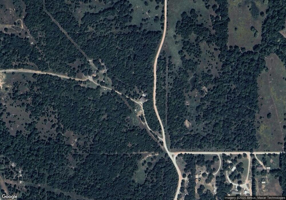
Map
Nearby Homes
- 16605 State Highway 48
- 00 S 369th West Ave
- 0 W 181st St S Unit 2539521
- 17504 S 327th West Ave
- 18694 S 340 Ave W
- 14751 S Highway 48
- 32109 W Highway 66
- 16458 S 401st West Ave
- 19619 S 337th West Ave
- 4 S 401 West Ave
- 1 S 401 West Ave
- 51499 W Highway 66
- 39525 W 151st St S
- 0 S 401 St W Unit 2521022
- 12670 State Highway 48
- 28520 W 166th St S
- 41377 W Highway 66
- 15459 S 283rd West Ave
- 12763 S Ave
- 12763 S 305th West Ave
- 16843 S Highway 48
- 35879 Davis Ln
- 17165 S 353rd West Ave
- 35124 W 171st St S
- 16625 S Highway 48
- 16623 S Highway 48
- 34986 W 171st St S
- 16831 S Highway 48
- 17327 S 353rd West Ave
- 16621 S Highway 48
- 34802 W 171st St S
- 16605 S Highway 48
- 17470 State Highway 48
- 34712 W 171st St S
- 17470 S Highway 48
- 17484 S Highway 48
- 16591 S Hwy 48
- 2122 S 353rd Ave W
- 16393 S 353rd West Ave
- 34605 W 171st St S