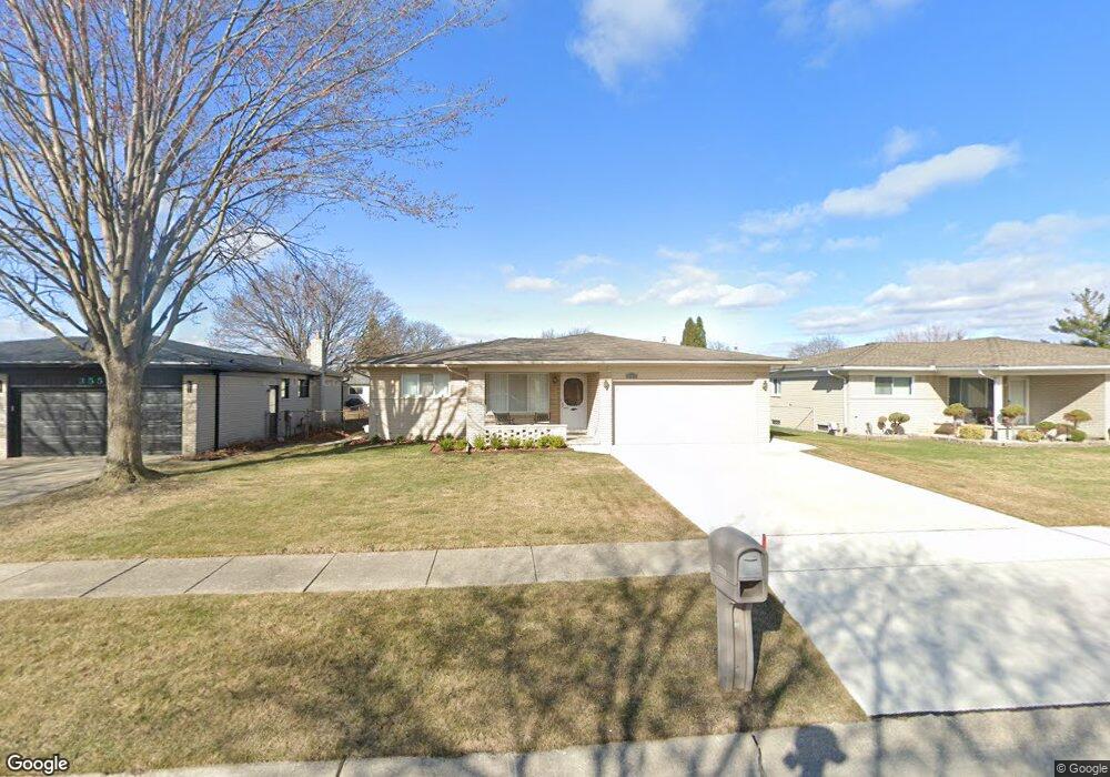
35547 Dunston Dr Sterling Heights, MI 48310
Estimated Value: $303,047 - $330,000
3
Beds
2
Baths
1,577
Sq Ft
$202/Sq Ft
Est. Value
About This Home
This home is located at 35547 Dunston Dr, Sterling Heights, MI 48310 and is currently estimated at $318,262, approximately $201 per square foot. 35547 Dunston Dr is a home located in Macomb County with nearby schools including Susick Elementary School, Grissom Middle School, and Sterling Heights Senior H.S..
Ownership History
Date
Name
Owned For
Owner Type
Purchase Details
Closed on
Nov 19, 1997
Sold by
Bullock William L
Bought by
Milosevski Milisav
Current Estimated Value
Home Financials for this Owner
Home Financials are based on the most recent Mortgage that was taken out on this home.
Original Mortgage
$98
Interest Rate
7.96%
Mortgage Type
Purchase Money Mortgage
Create a Home Valuation Report for This Property
The Home Valuation Report is an in-depth analysis detailing your home's value as well as a comparison with similar homes in the area
Home Values in the Area
Average Home Value in this Area
Purchase History
| Date | Buyer | Sale Price | Title Company |
|---|---|---|---|
| Milosevski Milisav | $140,000 | -- |
Source: Public Records
Mortgage History
| Date | Status | Borrower | Loan Amount |
|---|---|---|---|
| Previous Owner | Milosevski Milisav | $98 |
Source: Public Records
Tax History Compared to Growth
Tax History
| Year | Tax Paid | Tax Assessment Tax Assessment Total Assessment is a certain percentage of the fair market value that is determined by local assessors to be the total taxable value of land and additions on the property. | Land | Improvement |
|---|---|---|---|---|
| 2025 | $3,341 | $146,400 | $0 | $0 |
| 2024 | $3,223 | $129,500 | $0 | $0 |
| 2023 | $3,059 | $118,700 | $0 | $0 |
| 2022 | $2,967 | $107,500 | $0 | $0 |
| 2021 | $3,067 | $100,000 | $0 | $0 |
| 2020 | $2,915 | $98,300 | $0 | $0 |
| 2019 | $2,736 | $89,200 | $0 | $0 |
| 2018 | $2,897 | $83,300 | $0 | $0 |
| 2017 | $2,796 | $78,200 | $15,000 | $63,200 |
| 2016 | $2,736 | $78,200 | $0 | $0 |
| 2015 | -- | $73,500 | $0 | $0 |
| 2014 | -- | $63,200 | $0 | $0 |
Source: Public Records
Map
Nearby Homes
- 35744 Indigo Dr
- 3131 Elmcrest Rd
- 2595 Elmcrest Rd
- 2448 Oakcrest Rd
- 3261 Lancaster Dr
- 3542 Marc Dr
- 3426 Janet Dr
- 36268 Jeffrey Dr
- 2109 Chesley Dr
- 35078 Cavant Dr
- 34544 Sandwood Dr
- 2121 Chesley Dr
- 4117 Mahogany Dr
- 34579 Hawke Dr
- 35272 Vito Dr
- 36614 Park Place Dr Unit 68
- 36619 Park Place Dr
- 4468 15 Mile Rd Unit F104
- 2528 Koper Dr
- 2987 Chesterfield Dr
- 35535 Dunston Dr
- 35559 Dunston Dr
- 35523 Dunston Dr
- 35550 Shell Dr
- 35571 Dunston Dr
- 35538 Shell Dr
- 35562 Shell Dr
- 35526 Shell Dr
- 35574 Shell Dr
- 35511 Dunston Dr
- 35554 Dunston Dr
- 35540 Dunston Dr
- 35585 Dunston Dr
- 35526 Dunston Dr
- 35568 Dunston Dr
- 35512 Shell Dr
- 35588 Shell Dr
- 35365 Dunston Dr
- 35580 Dunston Dr
- 35500 Shell Dr