3555 Secluded Spring Dr Mount Airy, MD 21771
Estimated Value: $639,000 - $845,000
--
Bed
3
Baths
2,800
Sq Ft
$263/Sq Ft
Est. Value
About This Home
This home is located at 3555 Secluded Spring Dr, Mount Airy, MD 21771 and is currently estimated at $737,105, approximately $263 per square foot. 3555 Secluded Spring Dr is a home located in Carroll County with nearby schools including Winfield Elementary School, Mount Airy Middle School, and South Carroll High School.
Ownership History
Date
Name
Owned For
Owner Type
Purchase Details
Closed on
Dec 20, 2023
Sold by
Robeson Bailey Mark and Omara Martha
Bought by
Bailey Family Trust and Bailey
Current Estimated Value
Purchase Details
Closed on
Dec 9, 2010
Sold by
Bailey Mark R
Bought by
Bailey Mark R and Bailey Martha O
Purchase Details
Closed on
Sep 8, 1995
Sold by
Bailey Mark R
Bought by
Bailey Mark R and Simpson Martha O
Purchase Details
Closed on
Mar 14, 1995
Sold by
Larrick P M
Bought by
Bailey Mark R
Purchase Details
Closed on
Aug 3, 1994
Sold by
Ball Michael R
Bought by
Larrick P M
Create a Home Valuation Report for This Property
The Home Valuation Report is an in-depth analysis detailing your home's value as well as a comparison with similar homes in the area
Home Values in the Area
Average Home Value in this Area
Purchase History
| Date | Buyer | Sale Price | Title Company |
|---|---|---|---|
| Bailey Family Trust | -- | None Listed On Document | |
| Bailey Mark R | -- | -- | |
| Bailey Mark R | -- | -- | |
| Bailey Mark R | $200,000 | -- | |
| Larrick P M | $71,000 | -- |
Source: Public Records
Tax History Compared to Growth
Tax History
| Year | Tax Paid | Tax Assessment Tax Assessment Total Assessment is a certain percentage of the fair market value that is determined by local assessors to be the total taxable value of land and additions on the property. | Land | Improvement |
|---|---|---|---|---|
| 2025 | $6,068 | $568,400 | $0 | $0 |
| 2024 | $6,068 | $536,500 | $206,600 | $329,900 |
| 2023 | $5,812 | $513,633 | $0 | $0 |
| 2022 | $5,556 | $490,767 | $0 | $0 |
| 2021 | $10,815 | $467,900 | $166,600 | $301,300 |
| 2020 | $5,310 | $464,567 | $0 | $0 |
| 2019 | $5,272 | $461,233 | $0 | $0 |
| 2018 | $5,188 | $457,900 | $166,600 | $291,300 |
| 2017 | $5,101 | $450,167 | $0 | $0 |
| 2016 | -- | $442,433 | $0 | $0 |
| 2015 | -- | $434,700 | $0 | $0 |
| 2014 | -- | $434,700 | $0 | $0 |
Source: Public Records
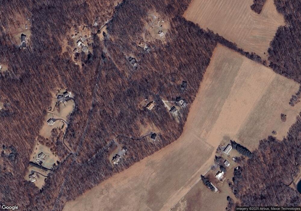
Map
Nearby Homes
- 4417 Buffalo Rd
- 2990 Honeywood Dr
- 4828 Ridge Rd
- 3870 Roop Rd
- 3816 A Jim Smith Ln
- 7309 Talbot Run Rd
- 2815 Gillis Rd
- 5307 Pommel Dr
- 4950 Crocus Rd
- 3720 Buffalo Rd
- 5345 Pommel Dr
- 4328 Ridge Rd Unit 13
- 5134 Perry Rd
- 2613 Liberty Rd
- 15602 Wildrose Ct
- 0 Cabbage Spring Rd
- 2210 Skylark Dr
- 3008 Arapaho Ct
- 3204 Hooper Rd
- 3174 Cardinal Dr
- 3545 Secluded Spring Dr
- 3540 Secluded Spring Dr
- 3550 Secluded Spring Dr
- 4677 Buffalo Rd
- 4421 Buffalo Rd
- 4630 Buffalo Rd
- 4500 Buffalo Rd
- 4701 Buffalo Rd
- 4640 Buffalo Rd
- 0 Buffalo Rd Unit FR8242695
- 4650 Buffalo Rd
- 4412 Buffalo Rd
- 4408 Buffalo Rd
- 4660 Buffalo Rd
- 0 LOT 4 Buffalo
- 0 Buffalo Rd Unit CR6860605
- 4406 Buffalo Rd
- 15216 Black Ankle Rd
- 4404 Buffalo Rd
- 15208 Black Ankle Rd