35564 S Highway 213 Molalla, OR 97038
Estimated Value: $409,583 - $1,037,000
--
Bed
--
Bath
1,782
Sq Ft
$372/Sq Ft
Est. Value
About This Home
This home is located at 35564 S Highway 213, Molalla, OR 97038 and is currently estimated at $662,646, approximately $371 per square foot. 35564 S Highway 213 is a home with nearby schools including Butte Creek Elementary School and Silverton High School.
Ownership History
Date
Name
Owned For
Owner Type
Purchase Details
Closed on
May 23, 2002
Sold by
Flannery Karen L
Bought by
Flannery William J
Current Estimated Value
Home Financials for this Owner
Home Financials are based on the most recent Mortgage that was taken out on this home.
Original Mortgage
$203,000
Outstanding Balance
$84,633
Interest Rate
6.89%
Mortgage Type
Purchase Money Mortgage
Estimated Equity
$578,013
Purchase Details
Closed on
Oct 18, 1996
Sold by
Lessner Rochelle
Bought by
Flannery William J and Flannery Karen L
Create a Home Valuation Report for This Property
The Home Valuation Report is an in-depth analysis detailing your home's value as well as a comparison with similar homes in the area
Home Values in the Area
Average Home Value in this Area
Purchase History
| Date | Buyer | Sale Price | Title Company |
|---|---|---|---|
| Flannery William J | -- | Fidelity National Title Co | |
| Flannery William J | $56,465 | Chicago Title Insurance Co |
Source: Public Records
Mortgage History
| Date | Status | Borrower | Loan Amount |
|---|---|---|---|
| Open | Flannery William J | $203,000 |
Source: Public Records
Tax History Compared to Growth
Tax History
| Year | Tax Paid | Tax Assessment Tax Assessment Total Assessment is a certain percentage of the fair market value that is determined by local assessors to be the total taxable value of land and additions on the property. | Land | Improvement |
|---|---|---|---|---|
| 2025 | $1,159 | $116,403 | -- | -- |
| 2024 | $953 | $99,053 | -- | -- |
| 2023 | $953 | $157,251 | $0 | $0 |
| 2022 | $1,692 | $152,780 | $0 | $0 |
| 2021 | $1,627 | $148,447 | $0 | $0 |
| 2020 | $1,585 | $144,235 | $0 | $0 |
| 2019 | $1,546 | $140,154 | $0 | $0 |
| 2018 | $1,503 | $136,199 | $0 | $0 |
| 2017 | $1,446 | $132,342 | $0 | $0 |
| 2016 | $1,402 | $128,606 | $0 | $0 |
| 2015 | $2,707 | $210,532 | $0 | $0 |
| 2014 | $1,331 | $96,496 | $0 | $0 |
Source: Public Records
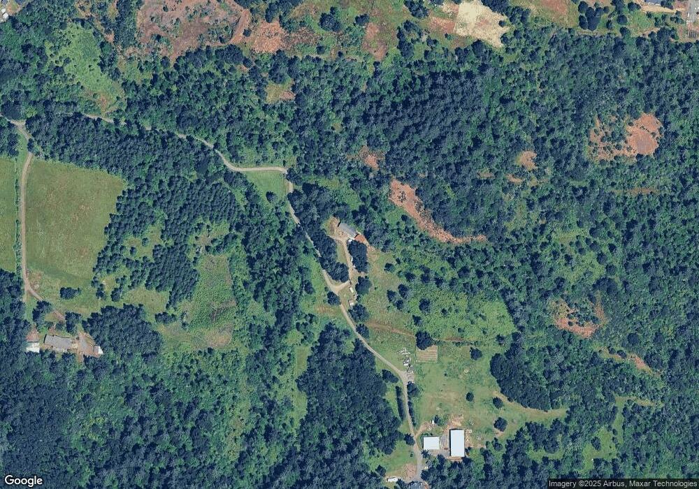
Map
Nearby Homes
- 10285 S Rosewood Way
- 35267 S Acer Ln
- 9924 S Wildcat Rd
- 36175 S Highway 213
- 37658 S Highway 213
- 37486 S Highway 213 (Adj To)
- 37486 S Hwy 213 (Adj To)
- 0 S Wilhoit Rd
- 0 Crooked Finger Rd NE Unit 827344
- 0 Crooked Finger Rd NE Unit 265826977
- 000 Crooked Finger Rd NE
- Lot 1600 Crooked Finger Rd NE
- 0 Off of Crooked Finge Rd
- 7138 Grandview Ave
- 7118 Grandview Ave
- 32604 S Krupicka Way
- 8438 Cascade Hwy NE
- 0 Hazelnut Ridge Rd
- 0 Address Undisclosed NE Unit 834166
- 36451 S Sawtell Rd Unit 16
- 35588 S Highway 213
- 10216 S Comer Creek Dr
- 10270 S Comer Creek Dr
- 10282 S Comer Creek Dr
- 0 S Comer Creek Dr Unit 23131503
- 0 S Comer Creek Dr Unit 400 21220916
- 0 S Comer Creek Dr Unit 5
- 10296 S Comer Creek Dr
- 10991 S Wildcat Rd
- 10312 S Comer Creek Dr
- 10328 S Comer Creek Dr
- 10213 S Comer Creek Dr
- 10229 S Comer Creek Dr
- 10261 S Comer Creek Dr
- 10209 S Comer Creek Dr
- 10334 S Comer Creek Dr
- 10277 S Comer Creek Dr
- 10185 S Comer Creek Dr
- 10340 S Comer Creek Dr
- 35550 S Autumn Way