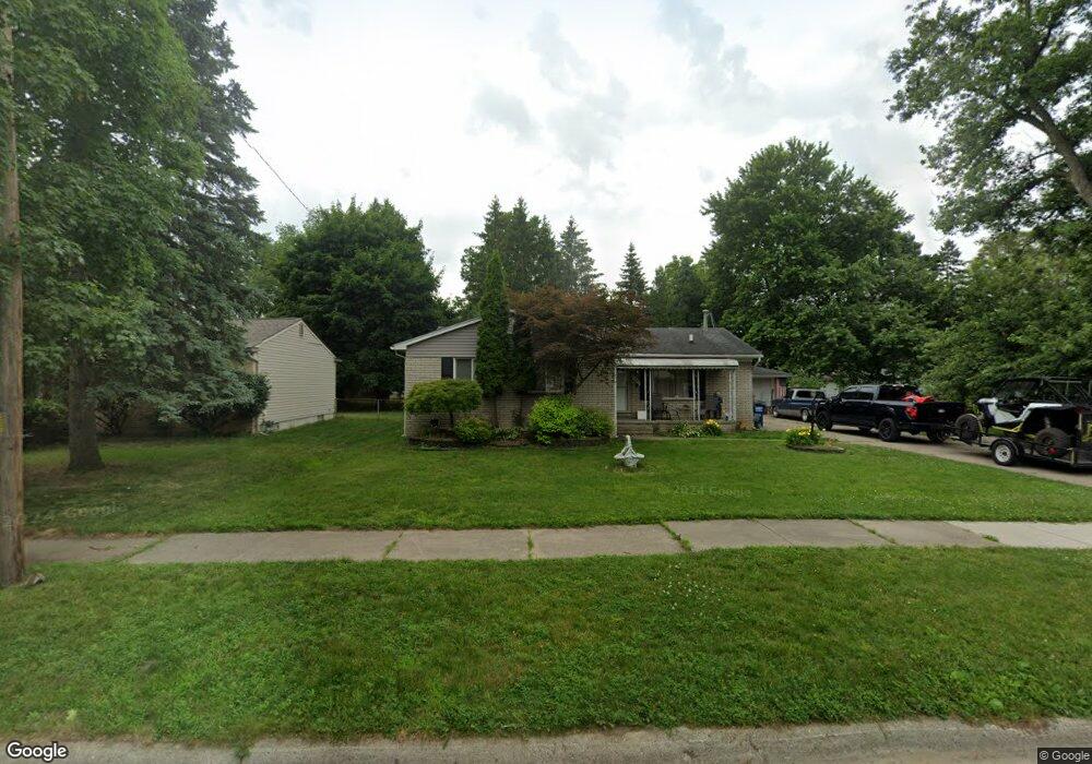
35565 Columbia St Westland, MI 48186
Estimated Value: $211,000 - $290,000
--
Bed
1
Bath
1,299
Sq Ft
$182/Sq Ft
Est. Value
About This Home
This home is located at 35565 Columbia St, Westland, MI 48186 and is currently estimated at $235,799, approximately $181 per square foot. 35565 Columbia St is a home located in Wayne County with nearby schools including Albert Schweitzer Elementary School, Adams Middle School, and Benjamin Franklin Middle School.
Ownership History
Date
Name
Owned For
Owner Type
Purchase Details
Closed on
Aug 13, 2021
Sold by
Belcher Dean
Bought by
Belcher Dean and Belcher Melissa
Current Estimated Value
Home Financials for this Owner
Home Financials are based on the most recent Mortgage that was taken out on this home.
Original Mortgage
$72,500
Outstanding Balance
$62,593
Interest Rate
2.9%
Mortgage Type
New Conventional
Estimated Equity
$173,206
Purchase Details
Closed on
Aug 17, 2015
Sold by
Docusen Ernestine M and Docusen Joseph B
Bought by
Belcher Dean
Create a Home Valuation Report for This Property
The Home Valuation Report is an in-depth analysis detailing your home's value as well as a comparison with similar homes in the area
Home Values in the Area
Average Home Value in this Area
Purchase History
| Date | Buyer | Sale Price | Title Company |
|---|---|---|---|
| Belcher Dean | -- | Fidelity National Title | |
| Belcher Dean | $84,000 | None Available |
Source: Public Records
Mortgage History
| Date | Status | Borrower | Loan Amount |
|---|---|---|---|
| Open | Belcher Dean | $72,500 |
Source: Public Records
Tax History Compared to Growth
Tax History
| Year | Tax Paid | Tax Assessment Tax Assessment Total Assessment is a certain percentage of the fair market value that is determined by local assessors to be the total taxable value of land and additions on the property. | Land | Improvement |
|---|---|---|---|---|
| 2025 | $2,397 | $104,100 | $0 | $0 |
| 2024 | $2,397 | $98,600 | $0 | $0 |
| 2023 | $3,394 | $77,000 | $0 | $0 |
| 2022 | $2,639 | $74,600 | $0 | $0 |
| 2021 | $2,709 | $72,100 | $0 | $0 |
| 2020 | $2,545 | $63,600 | $0 | $0 |
| 2019 | $2,453 | $58,500 | $0 | $0 |
| 2018 | $1,883 | $51,600 | $0 | $0 |
| 2017 | $844 | $46,700 | $0 | $0 |
| 2016 | $2,381 | $47,300 | $0 | $0 |
| 2015 | $4,093 | $43,570 | $0 | $0 |
| 2013 | $3,965 | $41,230 | $0 | $0 |
| 2012 | $2,055 | $43,130 | $0 | $0 |
Source: Public Records
Map
Nearby Homes
- 35408 Farragut Ave
- 35833 Farragut Ave
- 35801 Glenwood Rd
- 35130 June Dr
- 36012 Manila Ave
- 2314 S Christine
- 1853 S Linville Ave
- 1811 S Harvey Ave
- 2304 2nd St
- 36255 Manila Ave
- 32730 Palmer Rd
- 2439 Stieber St Unit 94
- 1909 S Christine
- 1825 Liddicot Ave
- 36675 Thinbark St
- 2420 Ackley Ave
- 36650 Thinbark St
- 3462 Pershing St
- 35718 Main St
- 2722 Ackley Ave
- 35565 Columbia Ave
- 35547 Columbia St
- 35611 Columbia St
- 35521 Columbia St
- 35556 Glenwood Rd
- 35542 Glenwood Rd
- 35604 Glenwood Rd
- 35622 Glenwood Rd
- 35625 Columbia St
- 35532 Columbia St
- 35528 Glenwood Rd
- 35566 Columbia St
- 35487 Columbia St
- 35546 Columbia Ave
- 35600 Columbia St
- 35546 Columbia St
- 35634 Glenwood Rd
- 35610 Columbia St
- 35516 Glenwood Rd
- 35629 Columbia Ave