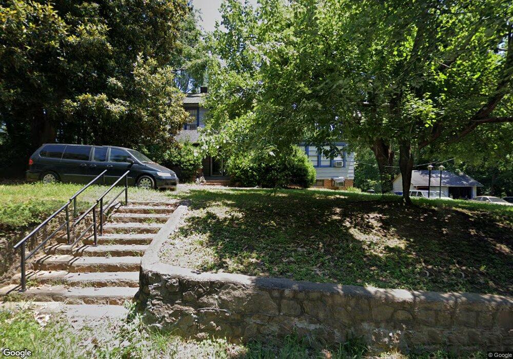
3557 High Point Rd Winston Salem, NC 27107
Estimated Value: $221,000 - $269,000
4
Beds
4
Baths
2,700
Sq Ft
$88/Sq Ft
Est. Value
About This Home
This home is located at 3557 High Point Rd, Winston Salem, NC 27107 and is currently estimated at $238,145, approximately $88 per square foot. 3557 High Point Rd is a home located in Forsyth County with nearby schools including Hall-Woodward Elementary School, Philo-Hill Magnet Academy, and R.B. Glenn High School.
Ownership History
Date
Name
Owned For
Owner Type
Purchase Details
Closed on
Oct 9, 2013
Sold by
Tsoumas Carros Nick James and Tsoumas Carros Cynthia
Bought by
Deacon Rental Properties Llc
Current Estimated Value
Purchase Details
Closed on
Apr 1, 2003
Sold by
Masencup Kent G
Bought by
Masencup Kent G
Purchase Details
Closed on
Sep 13, 1973
Bought by
Goldston
Create a Home Valuation Report for This Property
The Home Valuation Report is an in-depth analysis detailing your home's value as well as a comparison with similar homes in the area
Home Values in the Area
Average Home Value in this Area
Purchase History
| Date | Buyer | Sale Price | Title Company |
|---|---|---|---|
| Deacon Rental Properties Llc | $137,000 | None Available | |
| Masencup Kent G | -- | -- | |
| Goldston | -- | -- |
Source: Public Records
Tax History Compared to Growth
Tax History
| Year | Tax Paid | Tax Assessment Tax Assessment Total Assessment is a certain percentage of the fair market value that is determined by local assessors to be the total taxable value of land and additions on the property. | Land | Improvement |
|---|---|---|---|---|
| 2025 | $598 | $318,900 | $36,900 | $282,000 |
| 2024 | $570 | $84,500 | $25,200 | $59,300 |
| 2023 | $570 | $84,500 | $25,200 | $59,300 |
| 2022 | $560 | $84,500 | $25,200 | $59,300 |
| 2021 | $550 | $84,500 | $25,200 | $59,300 |
| 2020 | $664 | $80,900 | $23,000 | $57,900 |
| 2019 | $669 | $80,900 | $23,000 | $57,900 |
| 2018 | $635 | $80,900 | $23,000 | $57,900 |
| 2016 | $437 | $65,907 | $13,824 | $52,083 |
| 2015 | $430 | $65,907 | $13,824 | $52,083 |
| 2014 | $217 | $65,907 | $13,824 | $52,083 |
Source: Public Records
Map
Nearby Homes
- 3520 Landis St SE
- 3514 Landis St SE
- 3532 Landis St SE
- 3538 Landis St SE
- 3544 Landis St SE
- 3422 Robindale Dr
- 3428 Robindale Dr
- 421 Robindale Ct
- 3458 Robindale Dr
- 3435 Robindale Dr
- 3441 Robindale Dr
- 3447 Robindale Dr
- 3598 Robindale Dr
- 3453 Robindale Dr
- 3471 Robindale Dr
- Ashe Plan at Robindale
- Erie Plan at Robindale
- Camden Plan at Robindale
- Durham Plan at Robindale
- Avery Plan at Robindale
- 3543 High Point Rd
- 3554 High Point Rd
- 3533 High Point Rd
- 0 High Point Rd
- 3534 High Point Rd
- 3525 High Point Rd
- 3425 Lubet Ln
- 3427 Lubet Ln
- 3597 High Point Rd
- 3519 High Point Rd
- 3415 Lubet Ln
- 3511 High Point Rd
- 144 Wayside Dr
- 3422 Lubet Ln
- 160 Wayside Dr
- 3500 High Point Rd
- 176 Wayside Dr
- 3420 Lubet Ln
- 3526 Landis St SE
- 3596 High Point Rd