35570 Pheasant Ln Unit Bldg-Unit Westland, MI 48185
Estimated Value: $199,000 - $246,000
--
Bed
2
Baths
1,063
Sq Ft
$206/Sq Ft
Est. Value
About This Home
This home is located at 35570 Pheasant Ln Unit Bldg-Unit, Westland, MI 48185 and is currently estimated at $218,648, approximately $205 per square foot. 35570 Pheasant Ln Unit Bldg-Unit is a home located in Wayne County with nearby schools including Wildwood Elementary School, Marshall Upper Elementary School, and Adlai Stevenson Middle School.
Ownership History
Date
Name
Owned For
Owner Type
Purchase Details
Closed on
Jul 7, 2020
Sold by
Mowery Andrea M and Sugierski Andrea
Bought by
Hunt Lynda A
Current Estimated Value
Purchase Details
Closed on
Jan 16, 2018
Sold by
Ference Gary A and The Mary R Villavaso Trust
Bought by
Sugierski Andrea
Purchase Details
Closed on
Aug 19, 1999
Sold by
Villavaso Mary R
Bought by
Villavaso Mary R Villavaso Trust & Mary R
Create a Home Valuation Report for This Property
The Home Valuation Report is an in-depth analysis detailing your home's value as well as a comparison with similar homes in the area
Home Values in the Area
Average Home Value in this Area
Purchase History
| Date | Buyer | Sale Price | Title Company |
|---|---|---|---|
| Hunt Lynda A | $152,000 | Title One | |
| Sugierski Andrea | $132,000 | None Available | |
| Villavaso Mary R Villavaso Trust & Mary R | -- | -- |
Source: Public Records
Tax History Compared to Growth
Tax History
| Year | Tax Paid | Tax Assessment Tax Assessment Total Assessment is a certain percentage of the fair market value that is determined by local assessors to be the total taxable value of land and additions on the property. | Land | Improvement |
|---|---|---|---|---|
| 2025 | $3,100 | $94,500 | $0 | $0 |
| 2024 | $3,100 | $90,900 | $0 | $0 |
| 2023 | $2,960 | $79,300 | $0 | $0 |
| 2022 | $3,354 | $71,800 | $0 | $0 |
| 2021 | $3,270 | $65,900 | $0 | $0 |
| 2020 | $3,246 | $65,200 | $0 | $0 |
| 2019 | $3,133 | $64,100 | $0 | $0 |
| 2018 | $1,459 | $57,900 | $0 | $0 |
| 2017 | $595 | $50,500 | $0 | $0 |
| 2016 | $1,818 | $50,500 | $0 | $0 |
| 2015 | $3,611 | $44,200 | $0 | $0 |
| 2013 | $3,498 | $36,650 | $0 | $0 |
| 2012 | $1,705 | $36,800 | $0 | $0 |
Source: Public Records
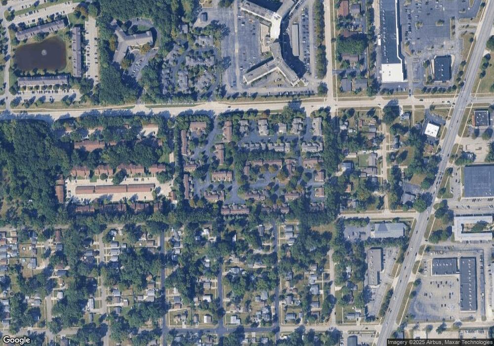
Map
Nearby Homes
- 6546 Quail Run Cir
- 35737 Hunter Ave
- 35754 Castlewood Ct
- 0 N Wayne Rd
- 7051 Wayne Rd
- 35863 Hunter Ave Unit 34
- 5942 N Walton St
- 35833 Ford Rd
- 34802 Pardo St
- 34752 John Hauk St
- 34203 Tomahawk Dr
- 6145 N Dowling St
- 0 Dowling Ave
- 6541 Pembrook Dr
- 34036 Pawnee St
- 37186 Amhurst Dr Unit 5
- 7330 Woodview St Unit 2
- 6026 Wilmer St
- 37175 Russell Dr
- 32238 Meridian Dr
- 35570 Pheasant Ln
- 35564 Pheasant Ln
- 35564 Pheasant Ln Unit 86
- 35558 Pheasant Ln Unit 87
- 35588 Pheasant Ln Unit 41
- 35594 Pheasant Ln
- 35594 Pheasant Ln Unit 40
- 35600 Pheasant Ln Unit 39
- 35482 Pheasant Ln Unit 84
- 35552 Pheasant Ln
- 35571 Pheasant Ln Unit 46
- 35565 Pheasant Ln
- 35577 Pheasant Ln
- 35559 Pheasant Ln
- 35559 Pheasant Ln Unit 44
- 35583 Pheasant Ln
- 35419 Dove Trail
- 35541 Pheasant Ln
- 35601 Pheasant Ln
- 35512 Pheasant Ln