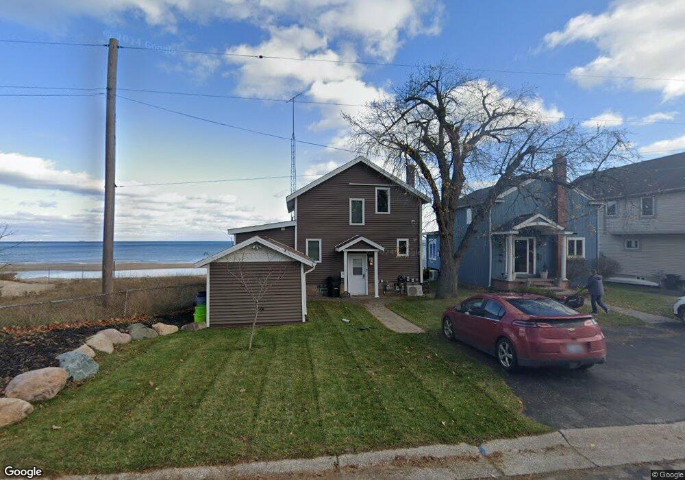
3558 Conger St Unit Bldg-Unit Port Huron, MI 48060
Estimated Value: $411,000 - $554,000
3
Beds
2
Baths
1,270
Sq Ft
$368/Sq Ft
Est. Value
About This Home
This home is located at 3558 Conger St Unit Bldg-Unit, Port Huron, MI 48060 and is currently estimated at $466,855, approximately $367 per square foot. 3558 Conger St Unit Bldg-Unit is a home located in St. Clair County with nearby schools including Garfield Elementary School, Holland Woods Middle School, and Port Huron Northern High School.
Ownership History
Date
Name
Owned For
Owner Type
Purchase Details
Closed on
Apr 5, 2019
Sold by
Petz Trust
Bought by
Brown Johnny
Current Estimated Value
Home Financials for this Owner
Home Financials are based on the most recent Mortgage that was taken out on this home.
Original Mortgage
$308,750
Outstanding Balance
$271,446
Interest Rate
4.3%
Mortgage Type
New Conventional
Estimated Equity
$195,409
Purchase Details
Closed on
Nov 7, 2014
Sold by
Petz Karen A and Petz James G
Bought by
Petz Karen A and Karen A Petz Revocable Living Trust
Create a Home Valuation Report for This Property
The Home Valuation Report is an in-depth analysis detailing your home's value as well as a comparison with similar homes in the area
Home Values in the Area
Average Home Value in this Area
Purchase History
| Date | Buyer | Sale Price | Title Company |
|---|---|---|---|
| Brown Johnny | $325,000 | Bell Title | |
| Petz Karen A | -- | None Available |
Source: Public Records
Mortgage History
| Date | Status | Borrower | Loan Amount |
|---|---|---|---|
| Open | Brown Johnny | $308,750 |
Source: Public Records
Tax History Compared to Growth
Tax History
| Year | Tax Paid | Tax Assessment Tax Assessment Total Assessment is a certain percentage of the fair market value that is determined by local assessors to be the total taxable value of land and additions on the property. | Land | Improvement |
|---|---|---|---|---|
| 2025 | $6,441 | $206,200 | $0 | $0 |
| 2024 | $5,713 | $198,400 | $0 | $0 |
| 2023 | $5,396 | $182,900 | $0 | $0 |
| 2022 | $5,943 | $166,200 | $0 | $0 |
| 2021 | $5,638 | $149,200 | $0 | $0 |
| 2020 | $5,703 | $126,600 | $126,600 | $0 |
| 2019 | $4,179 | $119,900 | $0 | $0 |
| 2018 | $5,729 | $119,900 | $0 | $0 |
| 2017 | $5,254 | $125,000 | $0 | $0 |
| 2016 | $4,726 | $125,000 | $0 | $0 |
| 2015 | $4,637 | $120,700 | $120,700 | $0 |
| 2014 | $4,637 | $118,400 | $118,400 | $0 |
| 2013 | -- | $124,600 | $0 | $0 |
Source: Public Records
Map
Nearby Homes
- 3455 Gratiot Ave
- 1020 Sanborn St
- 3321 Stone St
- 3214 Poplar St
- 1424 Hazelwood Ln
- 1202 Palmer Ct
- 2913 11th Ave
- 1218 Garfield St
- 1531 Robinson St
- 1434 Schumaker St
- 1116 Hancock St
- 2431 Armour St
- 3208 Mount Vernon Rd
- 2419 Cherry St
- 3419 Riverside Dr
- 2400 Stone St Unit 2414
- 2812 19th Ave
- 2215 Hancock St
- 2857 Riverside Dr
- 3515 Strawberry Ln
- 3558 Conger St
- 3554 Conger St
- 3550 Conger St
- 3546 Conger St
- 3534 Conger St
- 3565 Conger St
- 3555 Conger St
- 3559 Conger St
- 3567 Conger St
- 3571 Conger St
- 3545 Conger St
- 3530 Conger St
- 3601 Conger St
- 3603 Conger St
- 3535 Conger St
- 3607 Conger St
- 3528 Conger St
- 422 Holland Ave
- 3525 Conger St
- 426 Holland Ave