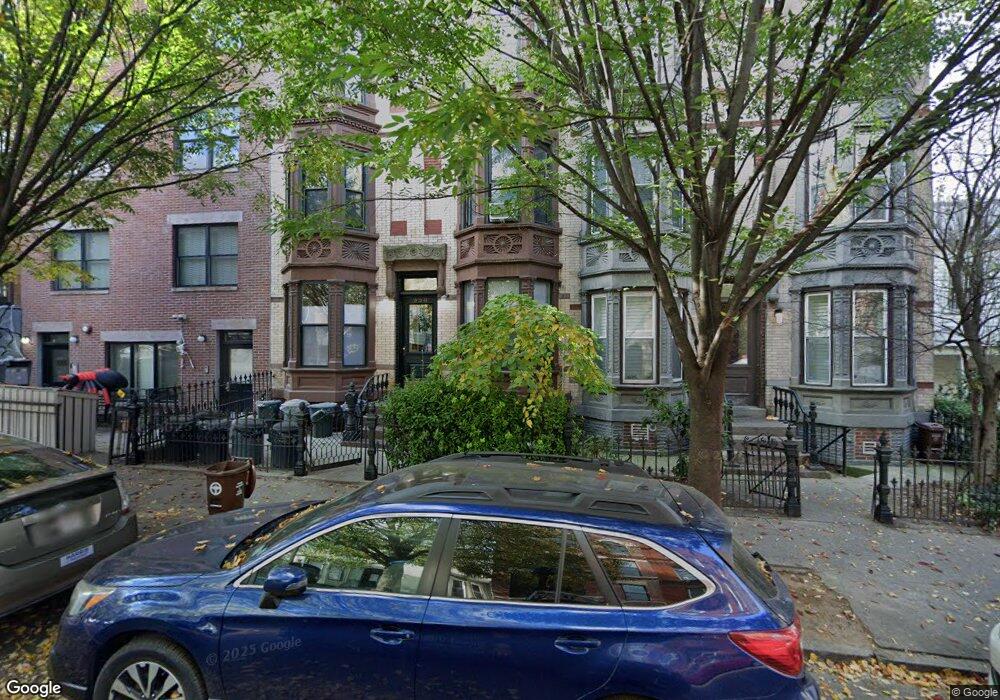
356 12th St Unit 4A Brooklyn, NY 11215
South Slope NeighborhoodEstimated Value: $912,000 - $1,137,000
--
Bed
--
Bath
761
Sq Ft
$1,324/Sq Ft
Est. Value
About This Home
This home is located at 356 12th St Unit 4A, Brooklyn, NY 11215 and is currently estimated at $1,007,227, approximately $1,323 per square foot. 356 12th St Unit 4A is a home located in Kings County with nearby schools including Magnet School of Math Science & Design Technology.
Ownership History
Date
Name
Owned For
Owner Type
Purchase Details
Closed on
Jun 19, 2008
Sold by
356 12Th Llc
Bought by
Fong Vivian
Current Estimated Value
Home Financials for this Owner
Home Financials are based on the most recent Mortgage that was taken out on this home.
Original Mortgage
$210,000
Outstanding Balance
$134,480
Interest Rate
6.01%
Mortgage Type
Purchase Money Mortgage
Estimated Equity
$872,747
Create a Home Valuation Report for This Property
The Home Valuation Report is an in-depth analysis detailing your home's value as well as a comparison with similar homes in the area
Home Values in the Area
Average Home Value in this Area
Purchase History
| Date | Buyer | Sale Price | Title Company |
|---|---|---|---|
| Fong Vivian | $557,500 | -- |
Source: Public Records
Mortgage History
| Date | Status | Borrower | Loan Amount |
|---|---|---|---|
| Open | Fong Vivian | $210,000 |
Source: Public Records
Tax History Compared to Growth
Tax History
| Year | Tax Paid | Tax Assessment Tax Assessment Total Assessment is a certain percentage of the fair market value that is determined by local assessors to be the total taxable value of land and additions on the property. | Land | Improvement |
|---|---|---|---|---|
| 2025 | $2,774 | $146,680 | $11,189 | $135,491 |
| 2024 | $2,774 | $183,368 | $11,189 | $172,179 |
| 2023 | $2,211 | $152,807 | $11,189 | $141,618 |
| 2022 | $1,733 | $150,143 | $11,189 | $138,954 |
| 2021 | $500 | $144,336 | $11,189 | $133,147 |
| 2020 | $68 | $156,217 | $11,189 | $145,028 |
| 2019 | $125 | $149,184 | $11,189 | $137,995 |
| 2018 | $1,011 | $17,786 | $1,451 | $16,335 |
| 2017 | $980 | $17,013 | $1,613 | $15,400 |
| 2016 | $960 | $16,298 | $1,696 | $14,602 |
| 2015 | -- | $15,635 | $1,948 | $13,687 |
| 2014 | -- | $14,776 | $1,473 | $13,303 |
Source: Public Records
Map
Nearby Homes
- 362 12th St Unit 3
- 362 12th St Unit 2
- 368 12th St Unit 5
- 370 12th St Unit 5
- 333 14th St Unit PSPOT1
- 378 12th St Unit 2
- 428 11th St
- 379 12th St Unit 2A
- 379 12th St Unit 2B
- 379 12th St Unit 3B
- 379 12th St Unit 3A
- 379 12th St Unit 1A
- 386A 12th St
- 454 11th St Unit 4L.
- 299 13th St Unit 4B
- 394 12th St Unit 5
- 449 11th St
- 285 13th St
- 366 W 11th St Unit 6EF
- 298 12th St Unit 1R
- 354 12th St
- 356 12th St Unit ROOF2
- 356 12th St Unit ROOF1
- 356 12th St Unit 4B
- 356 12th St Unit 3B
- 356 12th St Unit 3A
- 356 12th St Unit 2B
- 356 12th St Unit 2A
- 356 12th St Unit 1B
- 356 12th St Unit 1A
- 356 12th St
- 356 12 St Unit 3B
- 358 12th St Unit 8
- 358 12th St Unit 4L
- 358 12th St Unit L4
- 358 12th St Unit 1L
- 358 12th St Unit 3L
- 358 12th St Unit L1
- 358 12th St Unit 4R
- 358 12th St Unit L3