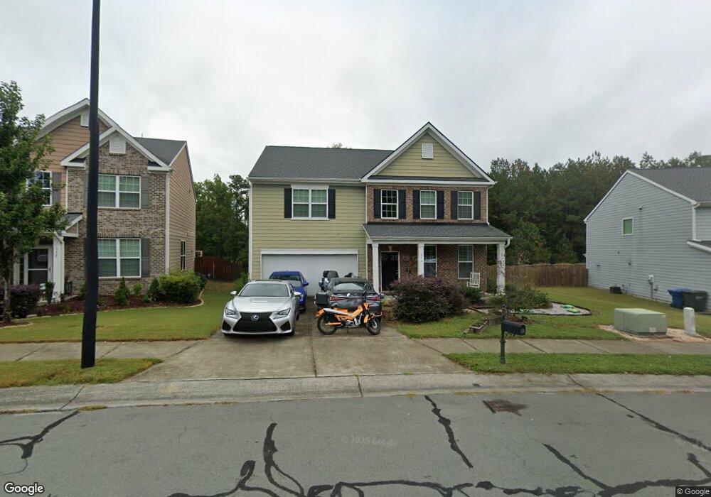
356 Callandale Ln Durham, NC 27703
Eastern Durham NeighborhoodEstimated Value: $503,006 - $615,000
4
Beds
3
Baths
3,182
Sq Ft
$172/Sq Ft
Est. Value
About This Home
This home is located at 356 Callandale Ln, Durham, NC 27703 and is currently estimated at $545,752, approximately $171 per square foot. 356 Callandale Ln is a home with nearby schools including Spring Valley Elementary School, John W Neal Middle School, and Southern School of Energy & Sustainability.
Ownership History
Date
Name
Owned For
Owner Type
Purchase Details
Closed on
Aug 7, 2013
Sold by
Hearthstone Multi Asset Entity B Lp
Bought by
Gragg Joshua E
Current Estimated Value
Home Financials for this Owner
Home Financials are based on the most recent Mortgage that was taken out on this home.
Original Mortgage
$219,650
Outstanding Balance
$163,606
Interest Rate
4.43%
Mortgage Type
New Conventional
Estimated Equity
$382,146
Create a Home Valuation Report for This Property
The Home Valuation Report is an in-depth analysis detailing your home's value as well as a comparison with similar homes in the area
Home Values in the Area
Average Home Value in this Area
Purchase History
| Date | Buyer | Sale Price | Title Company |
|---|---|---|---|
| Gragg Joshua E | $244,500 | None Available |
Source: Public Records
Mortgage History
| Date | Status | Borrower | Loan Amount |
|---|---|---|---|
| Open | Gragg Joshua E | $219,650 |
Source: Public Records
Tax History
| Year | Tax Paid | Tax Assessment Tax Assessment Total Assessment is a certain percentage of the fair market value that is determined by local assessors to be the total taxable value of land and additions on the property. | Land | Improvement |
|---|---|---|---|---|
| 2025 | $5,040 | $508,414 | $98,600 | $409,814 |
| 2024 | $4,442 | $318,425 | $43,462 | $274,963 |
| 2023 | $4,171 | $318,425 | $43,462 | $274,963 |
| 2022 | $4,076 | $318,425 | $43,462 | $274,963 |
| 2021 | $4,056 | $318,425 | $43,462 | $274,963 |
| 2020 | $3,961 | $318,425 | $43,462 | $274,963 |
| 2019 | $3,961 | $318,425 | $43,462 | $274,963 |
| 2018 | $3,736 | $275,423 | $46,360 | $229,063 |
| 2017 | $3,709 | $275,423 | $46,360 | $229,063 |
| 2016 | $3,584 | $275,423 | $46,360 | $229,063 |
| 2015 | $4,036 | $291,553 | $47,444 | $244,109 |
| 2014 | $4,036 | $291,553 | $47,444 | $244,109 |
Source: Public Records
Map
Nearby Homes
- 500 Kings Lake Way
- 3311 Delmar Dr
- 110 Elmsford St
- 533 Kings Lake Way
- 3311 Gypsum Dr
- 1107 High Fox Dr
- 106 Token House Rd
- 3210 Gypsum Dr
- 3212 Gypsum Dr
- 3214 Gypsum Dr
- 3216 Gypsum Dr
- 3218 Gypsum Dr
- 3220 Gypsum Dr
- 3222 Gypsum Dr
- 3224 Gypsum Dr
- 3226 Gypsum Dr
- 3302 Gypsum Dr
- 3302 Opal Dr
- 3201 Gypsum Dr
- 3205 Gypsum Dr
- 358 Callandale Ln
- 354 Callandale Ln
- 355 Callandale Ln
- 359 Callandale Ln
- 362 Callandale Ln
- 350 Callandale Ln
- 106 Longview Trail
- 4400 Sherron Rd
- 363 Callandale Ln
- 110 Longview Trail
- 118 Spaniel Dr
- 116 Spaniel Dr
- 365 Callandale Ln
- 400 Callandale Ln
- 114 Longview Trail
- 401 Callandale Ln
- 109 Longview Trail
- 404 Callandale Ln
- 118 Longview Trail
- 113 Longview Trail
Your Personal Tour Guide
Ask me questions while you tour the home.