356 Fireline Rd Broxton, GA 31519
Estimated Value: $144,947 - $242,000
3
Beds
2
Baths
1,850
Sq Ft
$107/Sq Ft
Est. Value
About This Home
This home is located at 356 Fireline Rd, Broxton, GA 31519 and is currently estimated at $197,737, approximately $106 per square foot. 356 Fireline Rd is a home located in Coffee County with nearby schools including Broxton-Mary Hayes Elementary School, Coffee Middle School, and Coffee County High School.
Ownership History
Date
Name
Owned For
Owner Type
Purchase Details
Closed on
Oct 13, 2005
Sold by
Smith Montez Cynthia Sue
Bought by
Smith Montez Cynthia Sue and Smith Wendell Willis
Current Estimated Value
Home Financials for this Owner
Home Financials are based on the most recent Mortgage that was taken out on this home.
Original Mortgage
$88,200
Outstanding Balance
$47,060
Interest Rate
5.71%
Mortgage Type
New Conventional
Estimated Equity
$150,677
Create a Home Valuation Report for This Property
The Home Valuation Report is an in-depth analysis detailing your home's value as well as a comparison with similar homes in the area
Home Values in the Area
Average Home Value in this Area
Purchase History
| Date | Buyer | Sale Price | Title Company |
|---|---|---|---|
| Smith Montez Cynthia Sue | -- | -- | |
| Burkett Brenda | $98,000 | -- |
Source: Public Records
Mortgage History
| Date | Status | Borrower | Loan Amount |
|---|---|---|---|
| Open | Burkett Brenda | $88,200 |
Source: Public Records
Tax History Compared to Growth
Tax History
| Year | Tax Paid | Tax Assessment Tax Assessment Total Assessment is a certain percentage of the fair market value that is determined by local assessors to be the total taxable value of land and additions on the property. | Land | Improvement |
|---|---|---|---|---|
| 2024 | $795 | $38,209 | $6,381 | $31,828 |
| 2023 | $403 | $38,209 | $6,381 | $31,828 |
| 2022 | $879 | $38,209 | $6,381 | $31,828 |
| 2021 | $879 | $38,209 | $6,381 | $31,828 |
| 2020 | $879 | $38,209 | $6,381 | $31,828 |
| 2019 | $879 | $38,209 | $6,381 | $31,828 |
| 2018 | $880 | $38,209 | $6,381 | $31,828 |
| 2017 | $883 | $38,209 | $6,381 | $31,828 |
| 2016 | $884 | $38,209 | $6,381 | $31,828 |
| 2015 | $888 | $38,209 | $6,381 | $31,828 |
| 2014 | $892 | $38,209 | $6,381 | $31,828 |
Source: Public Records
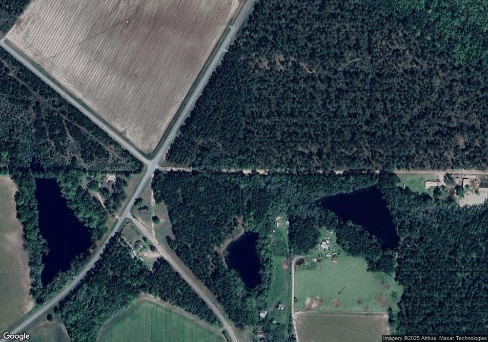
Map
Nearby Homes
- 699 Twin Lakes Dr
- 5495 Cross Rd
- 407 Broxton West Green Hwy
- 504 Miller Ave
- 1020 Alabama St N
- 4653 Douglas Braxton Hwy
- 744 Lotts Crossing
- 279 W H Smith Rd
- 2002 Apache Trail
- 310 Leyland Dr
- LOTS 5 & 6 N A
- 0 No Assigned Address Unit 10505338
- 161 Green Tree Dr
- 00 Lots 5 & 6
- 1428 Cross Rd
- 3459 Douglas Broxton Hwy (North Hwy 441)
- 3751 Douglas Braxton Hwy
- 360 Wildwood Rd
- 3459 Douglas Braxton Hwy
- 0 Hwy 301 Hwy Unit 1635753