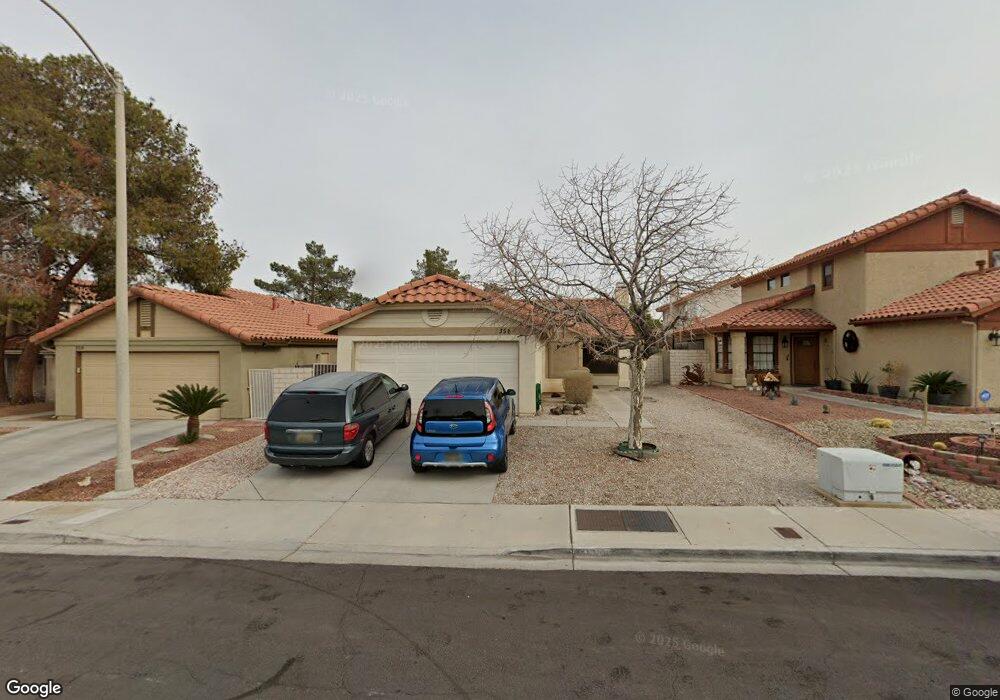
356 Keating St Unit x Henderson, NV 89074
Green Valley North NeighborhoodEstimated Value: $371,642 - $390,000
3
Beds
2
Baths
1,165
Sq Ft
$326/Sq Ft
Est. Value
About This Home
This home is located at 356 Keating St Unit x, Henderson, NV 89074 and is currently estimated at $380,161, approximately $326 per square foot. 356 Keating St Unit x is a home located in Clark County with nearby schools including Nate Mack Elementary School, Barbara and Hank Greenspun Junior High School, and Green Valley High School.
Ownership History
Date
Name
Owned For
Owner Type
Purchase Details
Closed on
Dec 22, 2014
Sold by
Reeve Robert C and Reeve Karen C
Bought by
Reeve Family Trust
Current Estimated Value
Purchase Details
Closed on
Jul 28, 2006
Sold by
Berkowitz Patricia
Bought by
Reeve Robert C and Reeve Karen C
Purchase Details
Closed on
Jan 5, 1995
Sold by
Corn Patricia A
Bought by
Berkowitz Patricia A
Create a Home Valuation Report for This Property
The Home Valuation Report is an in-depth analysis detailing your home's value as well as a comparison with similar homes in the area
Home Values in the Area
Average Home Value in this Area
Purchase History
| Date | Buyer | Sale Price | Title Company |
|---|---|---|---|
| Reeve Family Trust | -- | None Available | |
| Keating Llc | -- | None Available | |
| Reeve Robert C | $245,000 | Land Title Of Nevada | |
| Berkowitz Patricia A | -- | -- |
Source: Public Records
Map
Nearby Homes
- 367 Keating St
- 7464 Forestdale Ct
- 7483 Forestdale Ct
- 2546 Wolverton Ave
- 332 Cavalla St
- 379 Abbington St
- 2530 Los Coches Cir
- 2673 Ridgewater Cir
- 2249 Darwin Cir
- 13 Dovetail Cir
- 2533 Vera Cruz Cir
- 367 Lander Dr
- 2343 Villandry Ct
- 3221 Montecito Dr
- 2413 Muirfield Ave
- 7 Larkside Ct
- 2661 Churchill Cir
- 2601 Summerview Place
- 2605 Summerview Place
- 2752 Fountain Vista Ln
- 356 Keating St
- 354 Keating St Unit n/a
- 354 Keating St
- 358 Keating St
- 352 Keating St Unit o
- 352 Keating St
- 360 Keating St
- 359 Clayton St
- 361 Clayton St
- 357 Clayton St
- 350 Keating St
- 362 Keating St
- 357 Keating St Unit 421
- 363 Clayton St
- 355 Clayton St
- 355 Keating St Unit home
- 355 Keating St Unit 422
- 359 Keating St
- 364 Keating St
- 348 Keating St Unit 422
Your Personal Tour Guide
Ask me questions while you tour the home.