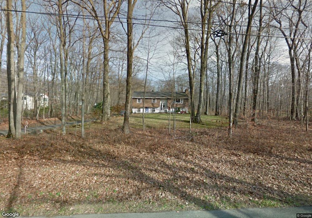
356 Maple St Litchfield, CT 06759
Estimated Value: $376,000 - $460,000
3
Beds
1
Bath
1,184
Sq Ft
$343/Sq Ft
Est. Value
About This Home
This home is located at 356 Maple St, Litchfield, CT 06759 and is currently estimated at $406,066, approximately $342 per square foot. 356 Maple St is a home located in Litchfield County with nearby schools including Center School, Litchfield Intermediate School, and Litchfield High School.
Ownership History
Date
Name
Owned For
Owner Type
Purchase Details
Closed on
May 18, 1992
Sold by
Banda Ferdinand and Banda Barbara
Bought by
Donaldson George
Current Estimated Value
Home Financials for this Owner
Home Financials are based on the most recent Mortgage that was taken out on this home.
Original Mortgage
$98,000
Interest Rate
8.89%
Mortgage Type
Unknown
Create a Home Valuation Report for This Property
The Home Valuation Report is an in-depth analysis detailing your home's value as well as a comparison with similar homes in the area
Home Values in the Area
Average Home Value in this Area
Purchase History
| Date | Buyer | Sale Price | Title Company |
|---|---|---|---|
| Donaldson George | $138,000 | -- |
Source: Public Records
Mortgage History
| Date | Status | Borrower | Loan Amount |
|---|---|---|---|
| Closed | Donaldson George | $98,000 |
Source: Public Records
Tax History
| Year | Tax Paid | Tax Assessment Tax Assessment Total Assessment is a certain percentage of the fair market value that is determined by local assessors to be the total taxable value of land and additions on the property. | Land | Improvement |
|---|---|---|---|---|
| 2025 | $4,362 | $218,090 | $69,530 | $148,560 |
| 2024 | $4,035 | $218,090 | $69,530 | $148,560 |
| 2023 | $4,368 | $163,600 | $63,050 | $100,550 |
| 2022 | $4,384 | $163,600 | $63,050 | $100,550 |
| 2021 | $4,515 | $163,600 | $63,050 | $100,550 |
| 2020 | $4,532 | $163,600 | $63,050 | $100,550 |
| 2019 | $4,614 | $163,600 | $63,050 | $100,550 |
| 2018 | $4,885 | $176,350 | $81,970 | $94,380 |
| 2017 | $4,867 | $176,350 | $81,970 | $94,380 |
| 2016 | $4,709 | $176,350 | $81,970 | $94,380 |
| 2015 | -- | $176,350 | $81,970 | $94,380 |
| 2014 | $4,444 | $176,350 | $81,970 | $94,380 |
Source: Public Records
Map
Nearby Homes
- 28 Headquarters Rd
- 204 Goodhouse Rd
- 700 Bantam Rd
- 28 Trumbull St
- 161 Circle Dr
- 29 Roosevelt Ave
- 38 Old Turnpike Rd
- 403 Beach St
- 91 North St
- 68 Paxton Ct
- 0 Brynmoor Ct Unit WL Lot 556
- 618 Beach St
- 44 South St
- 00 Torrington Rd
- 137 Old South Rd
- 415 South St
- 447 South St
- 374 Torrington Rd
- 11 W Chestnut Hill Rd
- 10 Gate Post Ln
- 352 Maple St
- 259 Brush Hill Rd
- 346 Maple St
- 267 Brush Hill Rd
- 258 Brush Hill Rd
- 252 Brush Hill Rd
- 243 Brush Hill Rd
- 266 Brush Hill Rd
- 246 Brush Hill Rd
- 340 Maple St
- 372 Maple St
- 241 Brush Hill Rd
- 262 Brush Hill Rd
- 336 Maple St
- 395 Maple St
- 239 Brush Hill Rd
- 236 Brush Hill Rd
- 332 Maple St
- 276 Brush Hill Rd
- 233 Brush Hill Rd
Your Personal Tour Guide
Ask me questions while you tour the home.