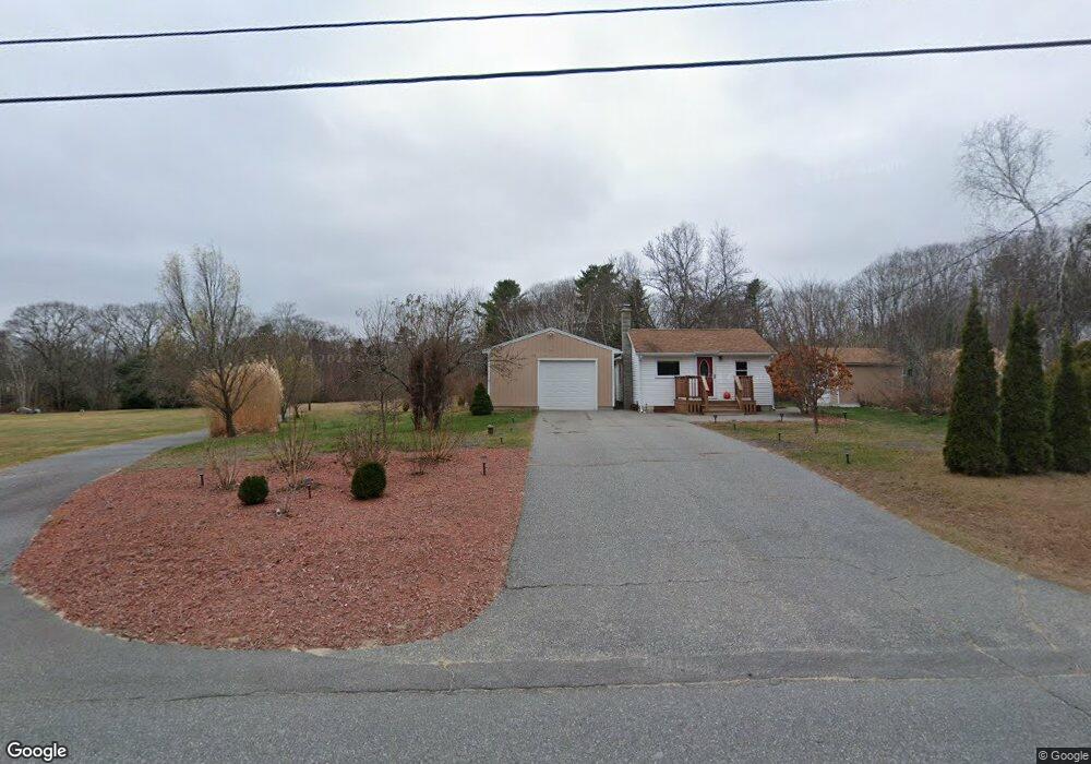
356 Maquoit Rd Brunswick, ME 04011
Estimated Value: $320,906 - $388,000
2
Beds
1
Bath
600
Sq Ft
$608/Sq Ft
Est. Value
About This Home
This home is located at 356 Maquoit Rd, Brunswick, ME 04011 and is currently estimated at $364,727, approximately $607 per square foot. 356 Maquoit Rd is a home located in Cumberland County with nearby schools including Kate Furbish Elementary School, Brunswick Jr High School, and Brunswick High School.
Ownership History
Date
Name
Owned For
Owner Type
Purchase Details
Closed on
Sep 14, 2009
Sold by
Fickett Patricia M and Fickett Raymond M
Bought by
Copeland Robert C
Current Estimated Value
Home Financials for this Owner
Home Financials are based on the most recent Mortgage that was taken out on this home.
Original Mortgage
$115,429
Outstanding Balance
$76,139
Interest Rate
5.36%
Mortgage Type
VA
Estimated Equity
$288,588
Create a Home Valuation Report for This Property
The Home Valuation Report is an in-depth analysis detailing your home's value as well as a comparison with similar homes in the area
Home Values in the Area
Average Home Value in this Area
Purchase History
| Date | Buyer | Sale Price | Title Company |
|---|---|---|---|
| Copeland Robert C | -- | -- |
Source: Public Records
Mortgage History
| Date | Status | Borrower | Loan Amount |
|---|---|---|---|
| Open | Copeland Robert C | $115,429 |
Source: Public Records
Tax History
| Year | Tax Paid | Tax Assessment Tax Assessment Total Assessment is a certain percentage of the fair market value that is determined by local assessors to be the total taxable value of land and additions on the property. | Land | Improvement |
|---|---|---|---|---|
| 2024 | $3,391 | $142,200 | $63,300 | $78,900 |
| 2023 | $3,128 | $134,300 | $63,300 | $71,000 |
| 2022 | $2,850 | $131,400 | $63,300 | $68,100 |
| 2021 | $2,246 | $131,400 | $63,300 | $68,100 |
| 2020 | $2,677 | $131,400 | $63,300 | $68,100 |
| 2019 | $2,276 | $115,400 | $63,300 | $52,100 |
| 2018 | $9,689 | $115,400 | $63,300 | $52,100 |
| 2017 | $3,833 | $115,400 | $63,300 | $52,100 |
| 2016 | $1,749 | $59,600 | $27,300 | $32,300 |
| 2015 | $1,690 | $59,600 | $27,300 | $32,300 |
| 2014 | $1,441 | $59,600 | $27,300 | $32,300 |
| 2013 | -- | $59,600 | $27,300 | $32,300 |
Source: Public Records
Map
Nearby Homes
- 291 Maquoit Rd
- 0 Gundalo Gap Rd Unit 1638108
- 250 Mere Point Rd
- 6 Chebeague Ln
- 5 Round Hill Ln
- 46 Casco Rd
- Lot 14 Village Cir
- Lot 15 Village Cir
- Lot 16 Village Cir
- 32 Village Cir
- Lot 8 Village Cir
- 23 Village Cir
- 20 Village Cir
- 307 Church Rd
- 9 Village Cir
- 6 Miranda St
- 61 Woodside Rd
- 7 Krampf Cir
- 5 Krampf Cir
- 4 Iris Way Unit 50
Your Personal Tour Guide
Ask me questions while you tour the home.