Estimated Value: $355,000 - $440,000
--
Bed
--
Bath
--
Sq Ft
33.67
Acres
About This Home
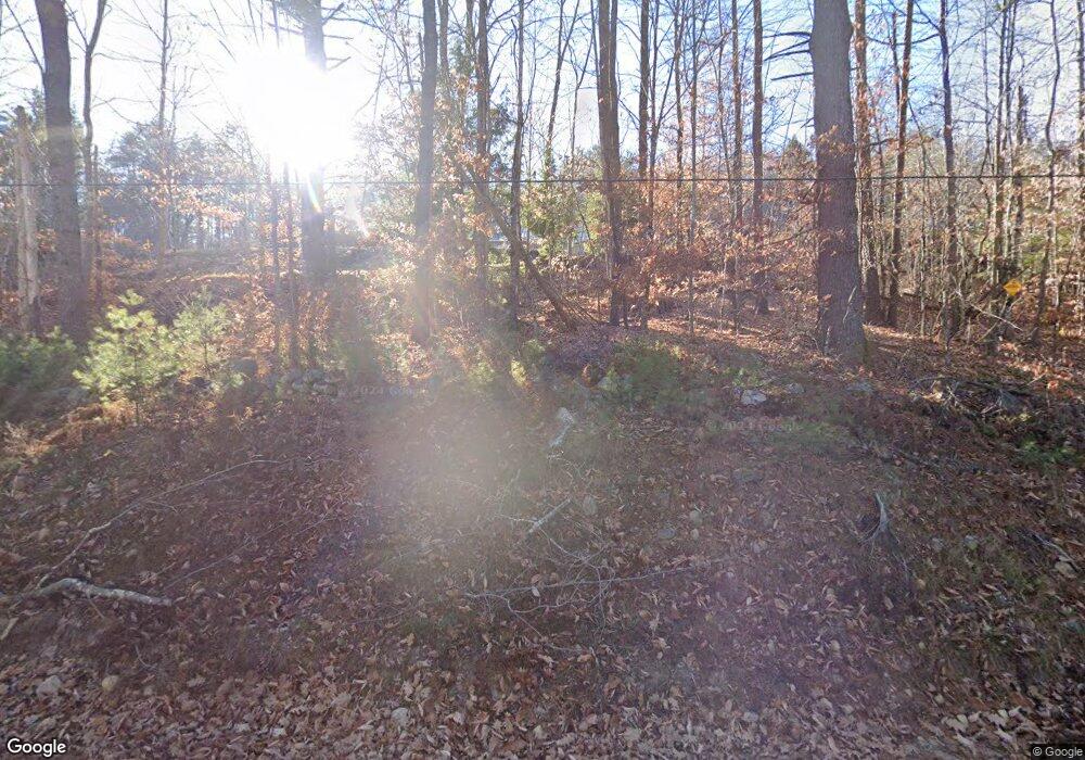
This home is located at 356 River Rd, Hiram, ME 04041 and is currently estimated at $392,049. 356 River Rd is a home.
Ownership History
Date
Name
Owned For
Owner Type
Purchase Details
Closed on
Aug 31, 2021
Sold by
Spencer Dana A and Spencer Patricia K
Bought by
Spencer Patricia K and Spencer Dana A
Current Estimated Value
Home Financials for this Owner
Home Financials are based on the most recent Mortgage that was taken out on this home.
Original Mortgage
$175,400
Outstanding Balance
$159,948
Interest Rate
2.8%
Mortgage Type
Purchase Money Mortgage
Estimated Equity
$224,024
Purchase Details
Closed on
Feb 15, 2019
Sold by
1 Northeast Road Llc
Bought by
Spencer Patricia K and Spencer Dana A
Home Financials for this Owner
Home Financials are based on the most recent Mortgage that was taken out on this home.
Original Mortgage
$33,750
Interest Rate
4.25%
Mortgage Type
New Conventional
Create a Home Valuation Report for This Property
The Home Valuation Report is an in-depth analysis detailing your home's value as well as a comparison with similar homes in the area
Home Values in the Area
Average Home Value in this Area
Purchase History
| Date | Buyer | Sale Price | Title Company |
|---|---|---|---|
| Spencer Patricia K | -- | None Available | |
| Spencer Dana A | -- | None Available | |
| Spencer Patricia K | -- | -- |
Source: Public Records
Mortgage History
| Date | Status | Borrower | Loan Amount |
|---|---|---|---|
| Open | Spencer Patricia K | $175,400 | |
| Previous Owner | Spencer Patricia K | $33,750 |
Source: Public Records
Tax History Compared to Growth
Tax History
| Year | Tax Paid | Tax Assessment Tax Assessment Total Assessment is a certain percentage of the fair market value that is determined by local assessors to be the total taxable value of land and additions on the property. | Land | Improvement |
|---|---|---|---|---|
| 2024 | $3,560 | $327,200 | $109,240 | $217,960 |
| 2023 | $3,505 | $283,560 | $87,390 | $196,170 |
| 2022 | $3,247 | $220,600 | $72,820 | $147,780 |
| 2021 | $3,538 | $242,150 | $94,370 | $147,780 |
| 2020 | $3,521 | $242,150 | $94,370 | $147,780 |
| 2019 | $2,289 | $94,370 | $94,370 | $0 |
| 2018 | $1,375 | $94,370 | $94,370 | $0 |
| 2017 | $1,349 | $94,370 | $94,370 | $0 |
| 2016 | $2,160 | $94,370 | $94,370 | $0 |
Source: Public Records
Map
Nearby Homes
- 992 Pequawket Trail
- 1044 Pequawket Trail
- 3 Harding Rd
- 20 Main St
- 25 Rocky Dunn Rd
- 77 Maple St
- 48 School St
- 6-13 Main St
- 6 Sokokis Trail N
- 696 S Hiram Rd
- 174 Marston Rd
- Lot #9 Jordan Heights Rd
- Lot #3 Jordan Heights Rd
- Lot #2 Jordan Heights Rd
- Lot #8 Jordan Heights Rd
- Lot #4 Jordan Heights Rd
- Lot #11 Jordan Heights Rd
- 8 Graffam Rd
- 30 Graffam Rd
- 36 Heavenly Acres
- 322 River Rd
- Lot 1B+1D River Rd
- 476 River Rd
- 174 River Rd
- 918 Pequawket Trail
- 932 Pequawket Trail
- 944 Pequawket Trail
- 925 Pequawket Trail
- 954 Pequawket Trail
- 952 Pequawket Trail
- 939 Pequawket Trail
- 921 Pequawket Trail
- 949 Pequawket Trail
- 7 Chase Rd
- 11 Chase Rd
- 882 Pequawket Trail
- 945 Pequawket Trail
- 970 Pequawket Trail
- 971 Pequawket Trail
- 984 Pequawket Trail
