356 Saybrook Rd Ardmore, OK 73401
Estimated Value: $247,000 - $421,162
3
Beds
2
Baths
2,305
Sq Ft
$145/Sq Ft
Est. Value
About This Home
This home is located at 356 Saybrook Rd, Ardmore, OK 73401 and is currently estimated at $333,387, approximately $144 per square foot. 356 Saybrook Rd is a home located in Carter County with nearby schools including Dickson Elementary School, Dickson Upper Elementary School, and Dickson Middle School.
Ownership History
Date
Name
Owned For
Owner Type
Purchase Details
Closed on
Apr 30, 2025
Sold by
Herrin Gene Ann
Bought by
Herrin Gene Ann and Herrin Randy Weldon
Current Estimated Value
Purchase Details
Closed on
Dec 13, 2007
Sold by
Means Harold L and Means Molly
Bought by
Means Harold L and Means Molly
Home Financials for this Owner
Home Financials are based on the most recent Mortgage that was taken out on this home.
Original Mortgage
$267,300
Interest Rate
6.5%
Mortgage Type
Adjustable Rate Mortgage/ARM
Purchase Details
Closed on
Nov 19, 2004
Sold by
Wright Charles B and Wright Barb
Bought by
Means Harold L
Purchase Details
Closed on
Aug 11, 1997
Sold by
Miller Michael and Miller Tuttl
Bought by
Wright Charles B and Wright Ba
Purchase Details
Closed on
Apr 4, 1995
Sold by
Miller Michael and Miller Tuttl
Bought by
Miller Michael and Miller Tuttl
Create a Home Valuation Report for This Property
The Home Valuation Report is an in-depth analysis detailing your home's value as well as a comparison with similar homes in the area
Home Values in the Area
Average Home Value in this Area
Purchase History
| Date | Buyer | Sale Price | Title Company |
|---|---|---|---|
| Herrin Gene Ann | -- | None Listed On Document | |
| Means Harold L | -- | -- | |
| Means Harold L | $225,000 | -- | |
| Wright Charles B | $37,000 | -- | |
| Miller Michael | $28,000 | -- |
Source: Public Records
Mortgage History
| Date | Status | Borrower | Loan Amount |
|---|---|---|---|
| Previous Owner | Means Harold L | $267,300 |
Source: Public Records
Tax History Compared to Growth
Tax History
| Year | Tax Paid | Tax Assessment Tax Assessment Total Assessment is a certain percentage of the fair market value that is determined by local assessors to be the total taxable value of land and additions on the property. | Land | Improvement |
|---|---|---|---|---|
| 2024 | $2,944 | $29,906 | $1,548 | $28,358 |
| 2023 | $2,944 | $29,035 | $1,547 | $27,488 |
| 2022 | $2,642 | $27,806 | $1,530 | $26,276 |
| 2021 | $2,712 | $27,806 | $1,530 | $26,276 |
| 2020 | $2,672 | $27,806 | $1,530 | $26,276 |
| 2019 | $2,543 | $27,359 | $1,530 | $25,829 |
| 2018 | $2,554 | $27,113 | $1,497 | $25,616 |
| 2017 | $2,525 | $26,324 | $606 | $25,718 |
| 2016 | $2,404 | $25,558 | $644 | $24,914 |
| 2015 | $2,336 | $24,813 | $424 | $24,389 |
| 2014 | $2,064 | $23,733 | $411 | $23,322 |
Source: Public Records
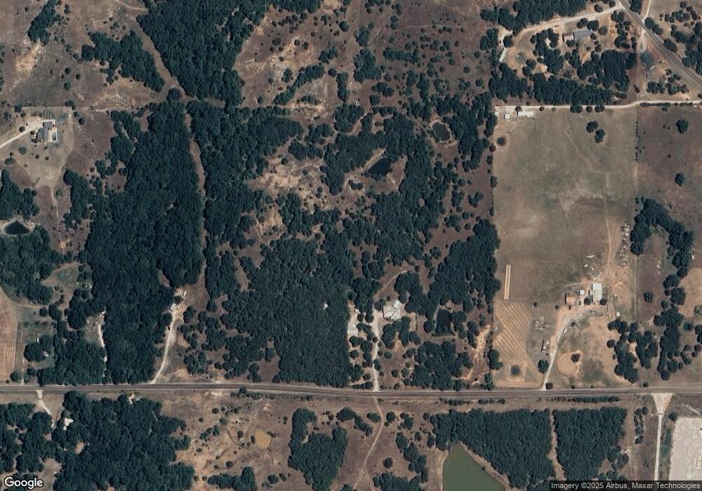
Map
Nearby Homes
- 203 Fernwood Rd
- 3 Smokey Ridge Rd
- 1416 Smokey Ridge Rd
- 7 Ponderosa Rd
- 0 Tbd Tumbleweed Rd
- 1905 Grandview Rd
- Two 1.39
- Two 0.74 Acre (Both Equal 1 48 Acre Parcel Total)
- 0.68 Acre Parcel
- 6080 Red Cedar Rd
- 2480 Gene Autry Rd
- 1722 Ponderosa Rd
- 1654 Ponderosa Rd
- 1617 Ponderosa Rd
- 3 Grandview Rd
- 5 Grandview Rd
- 6 Grandview Rd
- 4 Grandview Rd
- 42 Dogwood Rd
- 237 Killarney Dr