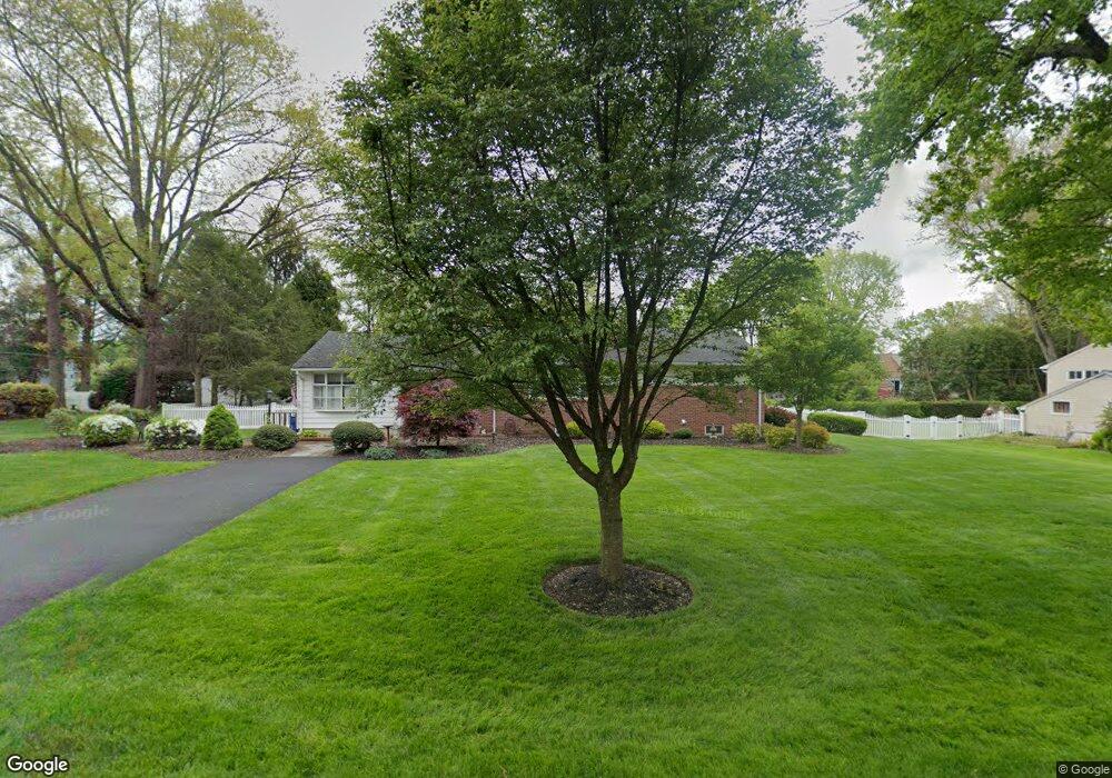
356 Summit Ave Langhorne, PA 19047
Estimated Value: $365,000 - $470,864
3
Beds
1
Bath
1,398
Sq Ft
$309/Sq Ft
Est. Value
About This Home
This home is located at 356 Summit Ave, Langhorne, PA 19047 and is currently estimated at $431,716, approximately $308 per square foot. 356 Summit Ave is a home located in Bucks County with nearby schools including Pearl S. Buck Elementary School, Maple Point Middle School, and Neshaminy High School.
Ownership History
Date
Name
Owned For
Owner Type
Purchase Details
Closed on
Aug 15, 2007
Sold by
Citrino Sharon and Bresnahan Christine T
Bought by
Citrino Sharon
Current Estimated Value
Home Financials for this Owner
Home Financials are based on the most recent Mortgage that was taken out on this home.
Original Mortgage
$15,000
Outstanding Balance
$9,569
Interest Rate
6.63%
Mortgage Type
Credit Line Revolving
Estimated Equity
$422,147
Purchase Details
Closed on
Apr 30, 2003
Sold by
Monaco Leonard and Monaco Lenora
Bought by
Bresnahan Christine T and Citrino Sharon
Home Financials for this Owner
Home Financials are based on the most recent Mortgage that was taken out on this home.
Original Mortgage
$179,200
Interest Rate
5.93%
Mortgage Type
Purchase Money Mortgage
Create a Home Valuation Report for This Property
The Home Valuation Report is an in-depth analysis detailing your home's value as well as a comparison with similar homes in the area
Home Values in the Area
Average Home Value in this Area
Purchase History
| Date | Buyer | Sale Price | Title Company |
|---|---|---|---|
| Citrino Sharon | $123,088 | None Available | |
| Bresnahan Christine T | $224,000 | Lawyers Title Insurance Corp |
Source: Public Records
Mortgage History
| Date | Status | Borrower | Loan Amount |
|---|---|---|---|
| Open | Citrino Sharon | $15,000 | |
| Open | Citrino Sharon | $200,000 | |
| Previous Owner | Bresnahan Christine T | $179,200 | |
| Closed | Bresnahan Christine T | $33,600 |
Source: Public Records
Tax History Compared to Growth
Tax History
| Year | Tax Paid | Tax Assessment Tax Assessment Total Assessment is a certain percentage of the fair market value that is determined by local assessors to be the total taxable value of land and additions on the property. | Land | Improvement |
|---|---|---|---|---|
| 2025 | $4,877 | $22,400 | $6,200 | $16,200 |
| 2024 | $4,877 | $22,400 | $6,200 | $16,200 |
| 2023 | $4,799 | $22,400 | $6,200 | $16,200 |
| 2022 | $4,673 | $22,400 | $6,200 | $16,200 |
| 2021 | $4,673 | $22,400 | $6,200 | $16,200 |
| 2020 | $4,617 | $22,400 | $6,200 | $16,200 |
| 2019 | $4,514 | $22,400 | $6,200 | $16,200 |
| 2018 | $4,431 | $22,400 | $6,200 | $16,200 |
| 2017 | $4,318 | $22,400 | $6,200 | $16,200 |
| 2016 | $4,318 | $22,400 | $6,200 | $16,200 |
| 2015 | $4,507 | $22,400 | $6,200 | $16,200 |
| 2014 | $4,507 | $22,400 | $6,200 | $16,200 |
Source: Public Records
Map
Nearby Homes
- 409 N Pine St
- 413 N Pine St
- 256 E Marshall Ave
- 103 Garrison Ct
- 209 N Bellevue Ave
- 623 Saint James Ct
- 24 Tupelo Ln
- 15 Lady Slipper Ln Unit 426
- 9 Blue Flax Ln Unit 188
- 42 Golf Club Dr
- 308 W Richardson Ave
- 13 Golf Club Dr
- 0 Highland Ave E Unit PABU2082086
- 0 Highland Ave E Unit PABU2079784
- 174 E Highland Ave
- 213 Sugarberry Ln Unit V20
- 238 Sugarberry Ln Unit V98
- 1021 W Maple Ave
- 565 Hulmeville Rd
- 624 Lollard Ct
- 372 Summit Ave
- 373 E Winchester Ave
- 350 Summit Ave
- 357 E Winchester Ave
- 355 Summit Ave
- 373 Summit Ave
- 391 E Winchester Ave
- 341 E Winchester Ave
- 339 Summit Ave
- 424 Penncrest Dr
- 326 Summit Ave
- 448 Penncrest Dr
- 360 Greenridge Dr
- 327 E Winchester Ave
- 323 Summit Ave
- 344 Greenridge Dr
- 378 Greenridge Dr
- 370 E Winchester Ave
- 332 Brendwood Dr
- 310 Summit Ave