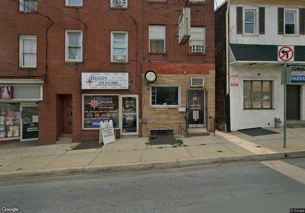
356 W Main St Norristown, PA 19401
Estimated Value: $150,533
2
Beds
3
Baths
2,851
Sq Ft
$53/Sq Ft
Est. Value
About This Home
This home is located at 356 W Main St, Norristown, PA 19401 and is currently estimated at $150,533, approximately $52 per square foot. 356 W Main St is a home located in Montgomery County with nearby schools including Davenport Elementary School, Charles Blockson Middle School, and East Norriton Middle School.
Ownership History
Date
Name
Owned For
Owner Type
Purchase Details
Closed on
Feb 28, 2023
Sold by
Maley Jane T
Bought by
Main Street Property Llc
Current Estimated Value
Purchase Details
Closed on
Mar 17, 2016
Sold by
Maley Jane T and Maley Richard J
Bought by
Maley Jane T and Maley Richard J
Purchase Details
Closed on
Jul 27, 2004
Sold by
Maley Jane T and Maley Richard J
Bought by
Maley Jane T and Maley Richard J
Purchase Details
Closed on
Sep 29, 2003
Sold by
Maley Jane T
Bought by
Maley Jane T and Maley Richard J
Purchase Details
Closed on
Jun 19, 2003
Sold by
Delucca Mary Est and Maley Jane T-Ex
Bought by
Maley Jane T
Purchase Details
Closed on
May 24, 2000
Sold by
Delucca Mary
Bought by
Delucca Mary and Maley Jane T
Create a Home Valuation Report for This Property
The Home Valuation Report is an in-depth analysis detailing your home's value as well as a comparison with similar homes in the area
Home Values in the Area
Average Home Value in this Area
Purchase History
| Date | Buyer | Sale Price | Title Company |
|---|---|---|---|
| Main Street Property Llc | $125,000 | None Listed On Document | |
| Maley Jane T | -- | Attorney | |
| Maley Jane T | -- | -- | |
| Maley Jane T | -- | -- | |
| Maley Jane T | -- | -- | |
| Delucca Mary | -- | -- |
Source: Public Records
Tax History Compared to Growth
Tax History
| Year | Tax Paid | Tax Assessment Tax Assessment Total Assessment is a certain percentage of the fair market value that is determined by local assessors to be the total taxable value of land and additions on the property. | Land | Improvement |
|---|---|---|---|---|
| 2025 | $5,297 | $86,300 | $32,660 | $53,640 |
| 2024 | $5,297 | $86,300 | $32,660 | $53,640 |
| 2023 | $5,250 | $86,300 | $32,660 | $53,640 |
| 2022 | $5,136 | $86,300 | $32,660 | $53,640 |
| 2021 | $5,111 | $86,300 | $32,660 | $53,640 |
| 2020 | $4,876 | $86,300 | $32,660 | $53,640 |
| 2019 | $4,787 | $86,300 | $32,660 | $53,640 |
| 2018 | $3,186 | $86,300 | $32,660 | $53,640 |
| 2017 | $4,396 | $86,300 | $32,660 | $53,640 |
| 2016 | $4,363 | $86,300 | $32,660 | $53,640 |
| 2015 | $4,258 | $86,300 | $32,660 | $53,640 |
| 2014 | $4,179 | $86,300 | $32,660 | $53,640 |
Source: Public Records
Map
Nearby Homes
- 201 Chain St Unit 28
- 0 Astor St
- 521 Norris St
- 208 Stanbridge St Unit 35
- 557 Haws Ave
- 324 Cherry St
- 544 Stanbridge St
- 530 Norris St
- 534 Norris St
- 558 Stanbridge St
- 637 Kohn St
- 907 W Airy St
- 501 Swede St
- 548 Cherry St
- 13 Stanbridge St
- 718 Astor St
- 905 W Marshall St
- 1009 W Main St
- 701 Haws Ave
- 654 Stanbridge St
- 354 W Main St
- 360 W Main St
- 362 W Main St
- 366 W Main St
- 222 Pearl St
- 220 Pearl St
- 218 Pearl St
- 216 Pearl St
- 400 W Main St Unit 3
- 400 W Main St
- 214 Pearl St
- 221 Pearl St
- 402 W Main St Unit 69
- 212 Pearl St
- 320 W Main St Unit 1
- 210 Pearl St
- 0 W Main St
- 404 W Main St Unit 2
- 404 W Main St
- 404 W Main St Unit 404 W Main St Norris