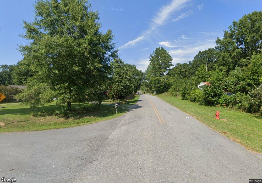
356 White Graves Rd NE Ranger, GA 30734
Estimated Value: $430,695 - $585,000
4
Beds
3
Baths
2,601
Sq Ft
$198/Sq Ft
Est. Value
About This Home
This home is located at 356 White Graves Rd NE, Ranger, GA 30734 and is currently estimated at $514,924, approximately $197 per square foot. 356 White Graves Rd NE is a home located in Gordon County with nearby schools including Fairmount Elementary School, Red Bud Middle School, and Sonoraville High School.
Ownership History
Date
Name
Owned For
Owner Type
Purchase Details
Closed on
Dec 2, 2024
Sold by
Stuckey Carl Eugene
Bought by
Fuller Jeffrey Melton
Current Estimated Value
Purchase Details
Closed on
Oct 20, 2008
Sold by
Not Provided
Bought by
Fuller Stuckey Carl E and Fuller Barbara Rush
Home Financials for this Owner
Home Financials are based on the most recent Mortgage that was taken out on this home.
Original Mortgage
$170,000
Outstanding Balance
$40,459
Interest Rate
5.78%
Mortgage Type
New Conventional
Estimated Equity
$474,465
Purchase Details
Closed on
Oct 14, 2008
Sold by
Not Provided
Bought by
Fuller Stuckey Carl E and Fuller Barbara Rush
Home Financials for this Owner
Home Financials are based on the most recent Mortgage that was taken out on this home.
Original Mortgage
$170,000
Outstanding Balance
$40,459
Interest Rate
5.78%
Mortgage Type
New Conventional
Estimated Equity
$474,465
Create a Home Valuation Report for This Property
The Home Valuation Report is an in-depth analysis detailing your home's value as well as a comparison with similar homes in the area
Home Values in the Area
Average Home Value in this Area
Purchase History
| Date | Buyer | Sale Price | Title Company |
|---|---|---|---|
| Fuller Jeffrey Melton | -- | -- | |
| Fuller Stuckey Carl E | $2,300 | -- | |
| Fuller Stuckey Carl E | $200,000 | -- |
Source: Public Records
Mortgage History
| Date | Status | Borrower | Loan Amount |
|---|---|---|---|
| Open | Fuller Stuckey Carl E | $170,000 |
Source: Public Records
Tax History Compared to Growth
Tax History
| Year | Tax Paid | Tax Assessment Tax Assessment Total Assessment is a certain percentage of the fair market value that is determined by local assessors to be the total taxable value of land and additions on the property. | Land | Improvement |
|---|---|---|---|---|
| 2024 | $2,314 | $117,560 | $8,840 | $108,720 |
| 2023 | $2,144 | $110,880 | $8,840 | $102,040 |
| 2022 | $2,100 | $104,360 | $8,840 | $95,520 |
| 2021 | $1,753 | $89,680 | $8,840 | $80,840 |
| 2020 | $2,706 | $96,440 | $8,840 | $87,600 |
| 2019 | $2,744 | $97,280 | $8,840 | $88,440 |
Source: Public Records
Map
Nearby Homes
- 580 White Graves Rd NE
- 6494 Nicklesville Rd NE
- 455 Poarch Farm Rd NE
- 250 Hook Rd NE
- 00 White Graves Rd
- 0 Georgia 136
- 2092 Pleasant Hill Rd NE
- 0 Muscadine Ln Unit 10532250
- 0 Muscadine Ln Unit 7586694
- S Hwy 411
- 5345 Nicklesville Rd NE
- 729 Taylor Town Rd NE
- 0 T Johnson Rd NE Unit 9631-F 20083625
- 00 Conniston Rd
- TR 4 B-2 Conniston Rd
- Tract 2 Conniston Rd
- Tract 1 Conniston Rd
- Tract 92 Conniston Rd
- Tract 3 Conniston Rd
- 0 Conniston Rd Unit 10517157
- 310 White Graves Rd NE
- 358 White Graves Rd NE
- 365 White Graves Rd NE
- 352 White Graves Rd NE
- 331 White Graves Rd NE
- 450 White Graves Rd NE
- 163 White Graves Rd NE
- 114 White Graves Rd NE
- 129 White Graves Rd NE
- 105 Porach Farm Rd NE
- 105 White Graves Rd NE
- 299 Poarch Farm Rd NE
- 299 Poarch Farm Rd NE
- 000 White Graves Rd NE
- 347 Poarch Farm Rd NE
- 7059 Nicklesville Rd NE
- 0 Poarch Farm Rd NE Unit 7039097
- 0 Poarch Farm Rd NE Unit 3016258
- 00 Nickelsville Rd
- 6744 Nicklesville Rd NE
