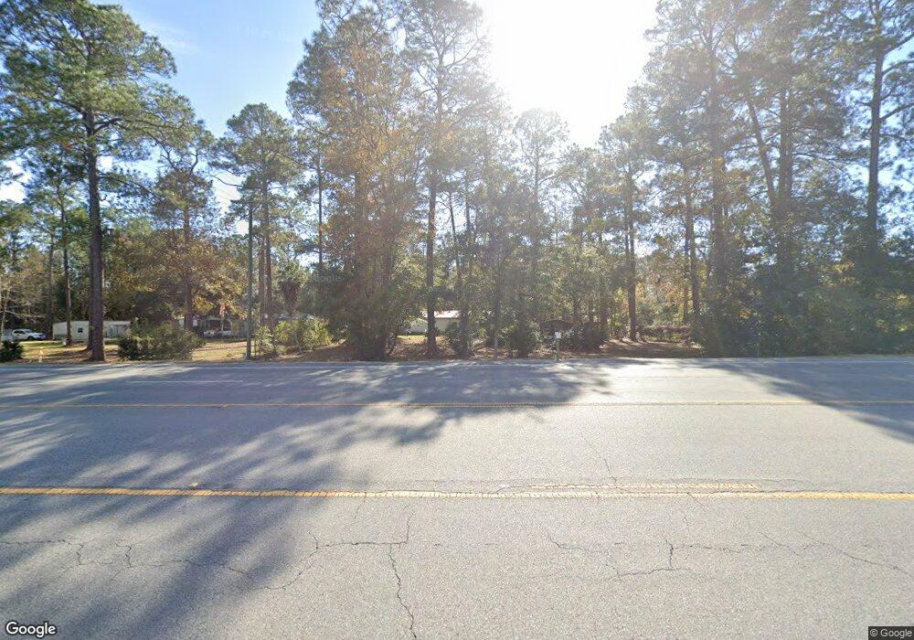
3560 Ga Highway 196 W Hinesville, GA 31313
Estimated Value: $177,000 - $271,000
3
Beds
2
Baths
1,740
Sq Ft
$128/Sq Ft
Est. Value
About This Home
This home is located at 3560 Ga Highway 196 W, Hinesville, GA 31313 and is currently estimated at $222,635, approximately $127 per square foot. 3560 Ga Highway 196 W is a home located in Liberty County with nearby schools including Taylors Creek Elementary School, Lewis Frasier Middle School, and Bradwell Institute.
Ownership History
Date
Name
Owned For
Owner Type
Purchase Details
Closed on
May 31, 1978
Bought by
Adams Joe M
Current Estimated Value
Create a Home Valuation Report for This Property
The Home Valuation Report is an in-depth analysis detailing your home's value as well as a comparison with similar homes in the area
Home Values in the Area
Average Home Value in this Area
Purchase History
| Date | Buyer | Sale Price | Title Company |
|---|---|---|---|
| Adams Joe M | $1,000 | -- |
Source: Public Records
Tax History Compared to Growth
Tax History
| Year | Tax Paid | Tax Assessment Tax Assessment Total Assessment is a certain percentage of the fair market value that is determined by local assessors to be the total taxable value of land and additions on the property. | Land | Improvement |
|---|---|---|---|---|
| 2024 | $828 | $37,221 | $5,294 | $31,927 |
| 2023 | $719 | $33,529 | $5,294 | $28,235 |
| 2022 | $503 | $27,526 | $4,235 | $23,291 |
| 2021 | $293 | $25,467 | $4,235 | $21,232 |
| 2020 | $302 | $25,863 | $4,235 | $21,628 |
| 2019 | $306 | $26,259 | $4,235 | $22,024 |
| 2018 | $314 | $26,655 | $4,235 | $22,420 |
| 2017 | $890 | $27,042 | $4,235 | $22,807 |
Source: Public Records
Map
Nearby Homes
- 164 Glynn Ct
- 33 Bryan Way
- 1.17 ACRES Elam Rd
- 61 Bulloch Ct
- 75 Willow Ln NE
- 2716 Java Ct
- 851 Lyndsi Ln
- 2563 Zachary Ct
- 776 Burnt Pines Rd NE
- 0 Airport Rd Unit 325633
- 62 Clydesdale Ct NE
- 50 Clydesdale Ct NE
- 624 Mustang Ln NE
- 269 Brightleaf Cir
- 76 Balearic Trail NE
- 215 Worthington Dr NE
- 331 Lee Place Rd NE
- 1802 White Cedar Way
- 818 Mustang Ln NE
- 1596 Longleaf Ct
- 26 Rye Patch Rd
- 91 and 2 Cooper Ln
- 44 Rye Patch Rd
- 0 Cooper Ln Unit 8849860
- 122 Pulaski St
- 154 Pulaski St
- 3681 Ga Highway 196 W
- 108 Pulaski St
- 3681 Georgia 196
- 29 Cooper Ln
- 239 Cooper Ln
- 187 Cooper Ln
- 83 Cooper Ln
- 160 Pulaski St Unit 96
- 160 Pulaski St
- 80 Pulaski St
- 3725 Ga Highway 196 W
- 169 Cooper Ln
- 118 Rye Patch Rd
- 127 Pulaski St
