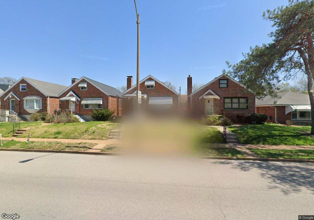
3560 Jamieson Ave Saint Louis, MO 63139
Lindenwood Park NeighborhoodEstimated Value: $218,000 - $288,000
2
Beds
2
Baths
912
Sq Ft
$269/Sq Ft
Est. Value
About This Home
This home is located at 3560 Jamieson Ave, Saint Louis, MO 63139 and is currently estimated at $245,264, approximately $268 per square foot. 3560 Jamieson Ave is a home located in St. Louis City with nearby schools including Mason Elementary School, Long International Middle School, and Roosevelt High School.
Ownership History
Date
Name
Owned For
Owner Type
Purchase Details
Closed on
Jul 14, 2011
Sold by
Bono Caroline
Bought by
Buechner Robert J and Buechner Dawn
Current Estimated Value
Purchase Details
Closed on
Nov 28, 1997
Sold by
Viola Schoenfeld
Bought by
Schoenfeld Viola Elizabeth
Create a Home Valuation Report for This Property
The Home Valuation Report is an in-depth analysis detailing your home's value as well as a comparison with similar homes in the area
Home Values in the Area
Average Home Value in this Area
Purchase History
| Date | Buyer | Sale Price | Title Company |
|---|---|---|---|
| Buechner Robert J | -- | Assured Title Company | |
| Schoenfeld Viola Elizabeth | -- | -- |
Source: Public Records
Tax History Compared to Growth
Tax History
| Year | Tax Paid | Tax Assessment Tax Assessment Total Assessment is a certain percentage of the fair market value that is determined by local assessors to be the total taxable value of land and additions on the property. | Land | Improvement |
|---|---|---|---|---|
| 2025 | $2,978 | $41,720 | $2,850 | $38,870 |
| 2024 | $2,833 | $35,240 | $2,850 | $32,390 |
| 2023 | $2,833 | $35,240 | $2,850 | $32,390 |
| 2022 | $2,698 | $32,300 | $2,850 | $29,450 |
| 2021 | $2,694 | $32,300 | $2,850 | $29,450 |
| 2020 | $2,454 | $29,620 | $2,850 | $26,770 |
| 2019 | $2,446 | $29,620 | $2,850 | $26,770 |
| 2018 | $2,274 | $26,680 | $2,570 | $24,110 |
| 2017 | $2,236 | $26,680 | $2,570 | $24,110 |
| 2016 | $2,035 | $23,940 | $2,570 | $21,380 |
| 2015 | $1,845 | $23,950 | $2,570 | $21,380 |
| 2014 | $1,751 | $23,950 | $2,570 | $21,380 |
| 2013 | -- | $22,730 | $2,570 | $20,160 |
Source: Public Records
Map
Nearby Homes
- 6656 Oleatha Ave
- 6659 Tholozan Ave
- 6811 Marquette Ave
- 6631 Pernod Ave
- 6621 Tholozan Ave
- 6611 Pernod Ave
- 7038 Pernod Ave
- 7047 Tholozan Ave
- 6653 Hancock Ave
- 3815 Mccausland Ave Unit 4
- 6953 Arthur Ave
- 6625 Hancock Ave
- 3308 Jamieson Ave
- 6973 Winona Ave
- 3558 Wabash Ave
- 6565 Winnebago St
- 6541 Lindenwood Place
- 6517 Tholozan Ave
- 6561 Bancroft Ave
- 7081 Winona Ave
- 3562 Jamieson Ave
- 3556 Jamieson Ave
- 3554 Jamieson Ave
- 6751 Pernod Ave
- 3550 Jamieson Ave
- 6747 Pernod Ave
- 3546 Jamieson Ave
- 6743 Pernod Ave
- 3542 Jamieson Ave
- 6739 Pernod Ave
- 6746 Oleatha Ave
- 3540 Jamieson Ave
- 6742 Oleatha Ave
- 6909 Pernod Ave
- 6737 Pernod Ave
- 6738 Oleatha Ave
- 6908 Oleatha Ave
- 6733 Pernod Ave
- 6910 Oleatha Ave
- 6734 Oleatha Ave