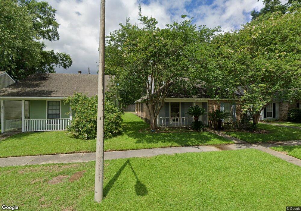
3560 Merritt Anne Dr Baton Rouge, LA 70816
Shenandoah NeighborhoodEstimated Value: $200,987 - $220,000
3
Beds
2
Baths
1,372
Sq Ft
$155/Sq Ft
Est. Value
About This Home
This home is located at 3560 Merritt Anne Dr, Baton Rouge, LA 70816 and is currently estimated at $212,247, approximately $154 per square foot. 3560 Merritt Anne Dr is a home located in East Baton Rouge Parish with nearby schools including Wedgewood Elementary School, Southeast Middle School, and Tara High School.
Ownership History
Date
Name
Owned For
Owner Type
Purchase Details
Closed on
Aug 18, 2005
Sold by
D'Antoni Gregory S
Bought by
Choate Michael R
Current Estimated Value
Home Financials for this Owner
Home Financials are based on the most recent Mortgage that was taken out on this home.
Original Mortgage
$100,000
Outstanding Balance
$52,498
Interest Rate
5.65%
Mortgage Type
New Conventional
Estimated Equity
$159,749
Purchase Details
Closed on
Apr 27, 2000
Sold by
Collums Mary David
Bought by
Martin Karen
Home Financials for this Owner
Home Financials are based on the most recent Mortgage that was taken out on this home.
Original Mortgage
$87,200
Interest Rate
8.21%
Create a Home Valuation Report for This Property
The Home Valuation Report is an in-depth analysis detailing your home's value as well as a comparison with similar homes in the area
Home Values in the Area
Average Home Value in this Area
Purchase History
| Date | Buyer | Sale Price | Title Company |
|---|---|---|---|
| Choate Michael R | $125,000 | -- | |
| Martin Karen | $109,000 | -- |
Source: Public Records
Mortgage History
| Date | Status | Borrower | Loan Amount |
|---|---|---|---|
| Open | Choate Michael R | $100,000 | |
| Previous Owner | Martin Karen | $87,200 |
Source: Public Records
Tax History Compared to Growth
Tax History
| Year | Tax Paid | Tax Assessment Tax Assessment Total Assessment is a certain percentage of the fair market value that is determined by local assessors to be the total taxable value of land and additions on the property. | Land | Improvement |
|---|---|---|---|---|
| 2024 | $2,283 | $19,648 | $1,200 | $18,448 |
| 2023 | $2,283 | $15,580 | $1,200 | $14,380 |
| 2022 | $1,780 | $15,580 | $1,200 | $14,380 |
| 2021 | $1,746 | $15,580 | $1,200 | $14,380 |
| 2020 | $1,768 | $15,580 | $1,200 | $14,380 |
| 2019 | $1,604 | $13,550 | $1,200 | $12,350 |
| 2018 | $1,584 | $13,550 | $1,200 | $12,350 |
| 2017 | $1,584 | $13,550 | $1,200 | $12,350 |
| 2016 | $1,544 | $13,550 | $1,200 | $12,350 |
| 2015 | $1,543 | $13,550 | $1,200 | $12,350 |
| 2014 | $1,510 | $13,550 | $1,200 | $12,350 |
| 2013 | -- | $13,550 | $1,200 | $12,350 |
Source: Public Records
Map
Nearby Homes
- 3747 Courtney Elizabeth Dr
- 3455 Jones Creek Rd
- 3202 Valentine Rd
- 15530 Fieldside Ave
- 15626 Fieldside Ave
- 3407 Brookmeade Dr
- 3417 Brookmeade Dr
- 4433 Mendocino Way
- 4330 Jones Creek Rd
- 3422 & 3 448 King Bradford Dr
- 13930 Keever Ave
- 3482 King Bradford Dr
- 16023 Derby Ave
- 3421 Oneal Ln Unit A
- 3421 O'Neal Ln Unit D
- 3305 Oneal Ln Unit D
- 2606 Shadowbrook Dr
- 14776 Colonel Allen Ct
- 3528 Sessions Dr
- 2508 Shadowbrook Dr
- 3550 Merritt Anne Dr
- 3570 Merritt Anne Dr
- 3540 Merritt Anne Dr
- 3612 Merritt Anne Dr
- 3622 Merritt Anne Dr
- 15323 Wentworth Ct
- 3632 Merritt Anne Dr
- 3618 Braden Patrick Dr
- 15322 Wentworth Ct
- 15333 Wentworth Ct
- 3628 Braden Patrick Dr
- 3642 Merritt Anne Dr
- 3638 Braden Patrick Dr
- 15332 Wentworth Ct
- 15343 Wentworth Ct
- 3652 Merritt Anne Dr
- 3648 Braden Patrick Dr
- 3633 Merritt Anne Dr
- 15353 Wentworth Ct
- 3615 Kevin Ryan Dr