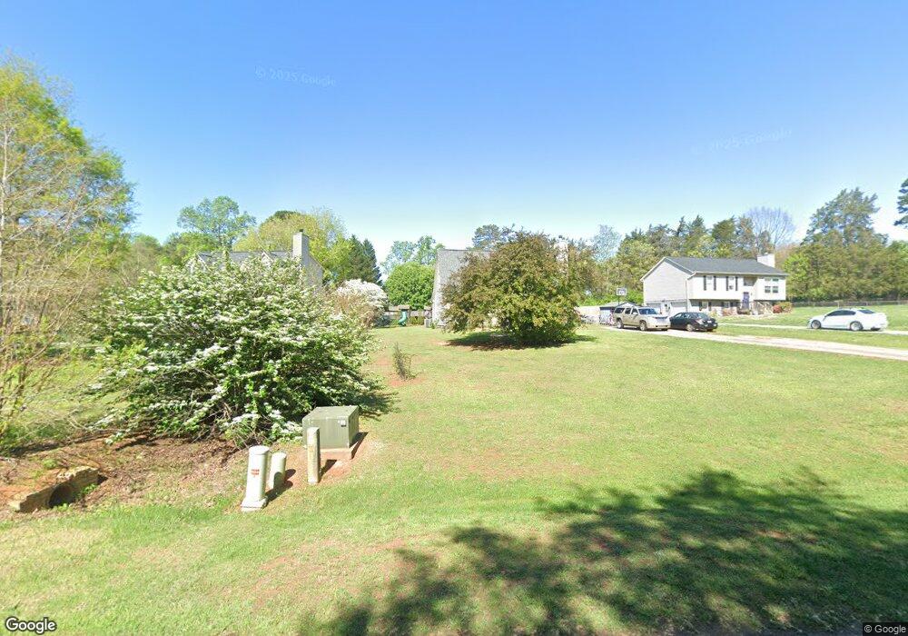
3560 Robinwest Dr Pfafftown, NC 27040
Estimated Value: $239,000 - $249,000
3
Beds
4
Baths
2,289
Sq Ft
$107/Sq Ft
Est. Value
About This Home
This home is located at 3560 Robinwest Dr, Pfafftown, NC 27040 and is currently estimated at $244,367, approximately $106 per square foot. 3560 Robinwest Dr is a home located in Forsyth County with nearby schools including Vienna Elementary School, Thomas Jefferson Middle School, and Ronald W. Reagan High School.
Ownership History
Date
Name
Owned For
Owner Type
Purchase Details
Closed on
Oct 30, 2001
Sold by
Jones Michael Eugene and Jones Susan A
Bought by
Surber Tommie A and Surber Patricia Ann
Current Estimated Value
Home Financials for this Owner
Home Financials are based on the most recent Mortgage that was taken out on this home.
Original Mortgage
$110,670
Outstanding Balance
$42,845
Interest Rate
6.74%
Mortgage Type
VA
Estimated Equity
$201,522
Create a Home Valuation Report for This Property
The Home Valuation Report is an in-depth analysis detailing your home's value as well as a comparison with similar homes in the area
Purchase History
| Date | Buyer | Sale Price | Title Company |
|---|---|---|---|
| Surber Tommie A | $108,500 | -- |
Source: Public Records
Mortgage History
| Date | Status | Borrower | Loan Amount |
|---|---|---|---|
| Open | Surber Tommie A | $110,670 |
Source: Public Records
Tax History
| Year | Tax Paid | Tax Assessment Tax Assessment Total Assessment is a certain percentage of the fair market value that is determined by local assessors to be the total taxable value of land and additions on the property. | Land | Improvement |
|---|---|---|---|---|
| 2025 | $1,316 | $206,800 | $38,000 | $168,800 |
| 2024 | $1,263 | $133,800 | $30,000 | $103,800 |
| 2023 | $1,263 | $133,800 | $30,000 | $103,800 |
| 2022 | $1,263 | $133,800 | $30,000 | $103,800 |
| 2021 | $1,263 | $133,800 | $30,000 | $103,800 |
| 2020 | $1,113 | $109,900 | $22,500 | $87,400 |
| 2019 | $1,124 | $109,900 | $22,500 | $87,400 |
| 2018 | $1,076 | $109,900 | $22,500 | $87,400 |
| 2016 | $839 | $85,281 | $19,500 | $65,781 |
Source: Public Records
Map
Nearby Homes
- 3714 Beroth Cir
- 0 Conrad Rd
- 6163 & 6167 Olde Fields Way
- 6158 Olde Fields Way
- 2138 Spring Wind Rd
- 7395 Cortney Glen Ln
- 315 Wyntfield Dr
- 0 Lewisville Vienna Rd
- 1337 Robin Hood Forest Dr
- 7135 Franklin Rd
- 204 Wyntfield Dr
- 2950 Beroth Rd
- 885 Tierney Dr
- 1205 Fairfield Creek Dr
- 6135 Spring Forest Dr
- 8037 Mill Chase
- 8024 Mill Chase
- 0 Chickasha Dr
- 150 Tullyries Ln
- 00 Conrad Rd
- 3550 Robinwest Dr
- 3570 Robinwest Dr
- 3540 Robinwest Dr
- 6870 Yadkinville Rd
- 3580 Robinwest Dr
- 3561 Robinwest Dr
- 3551 Robinwest Dr
- 3571 Robinwest Dr
- 3530 Robinwest Dr
- 3523 Robinwest Ct
- 3581 Robinwest Dr
- 3541 Robinwest Dr
- 3531 and 3541 Robinwest Dr
- 6876 Yadkinville Rd
- 3591 Robinwest Dr
- 3521 Robinwest Dr
- 3599 Robinwest Dr
- 3525 Robinwest Ct
- 3520 Robinwest Dr
- 6895 Sunnybend Place
Your Personal Tour Guide
Ask me questions while you tour the home.