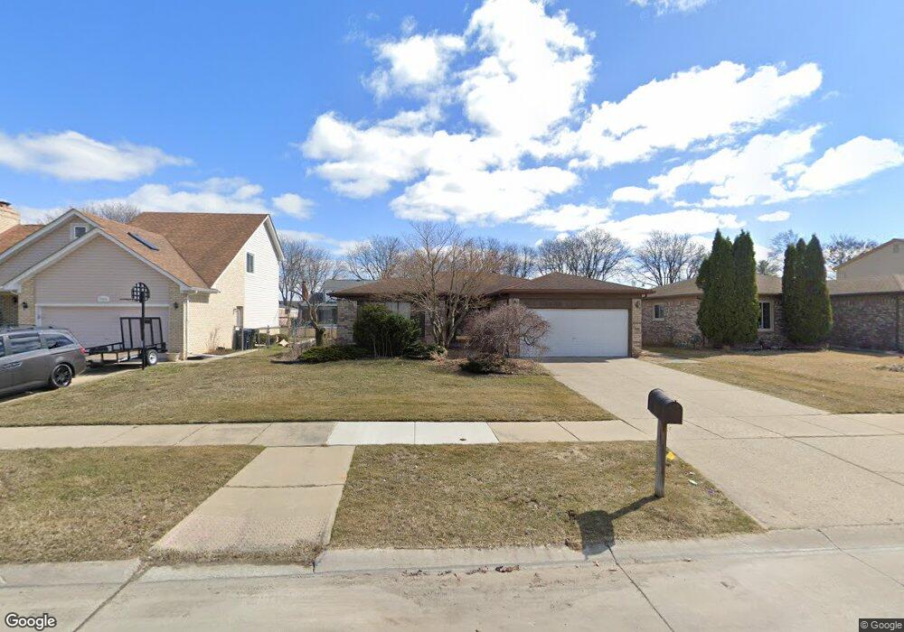
35602 Buxton Dr Sterling Heights, MI 48310
Estimated Value: $324,000 - $385,000
3
Beds
2
Baths
1,468
Sq Ft
$238/Sq Ft
Est. Value
About This Home
This home is located at 35602 Buxton Dr, Sterling Heights, MI 48310 and is currently estimated at $349,881, approximately $238 per square foot. 35602 Buxton Dr is a home located in Macomb County with nearby schools including Harwood Elementary School, Carleton Middle School, and Sterling Heights Senior H.S..
Ownership History
Date
Name
Owned For
Owner Type
Purchase Details
Closed on
Oct 24, 2016
Sold by
Perkowski Matthew and Payan Perkowski Maria G
Bought by
Perkowski Matthew and Payan Perkowski Maria G
Current Estimated Value
Home Financials for this Owner
Home Financials are based on the most recent Mortgage that was taken out on this home.
Original Mortgage
$131,500
Outstanding Balance
$83,912
Interest Rate
3.48%
Mortgage Type
New Conventional
Estimated Equity
$265,969
Purchase Details
Closed on
Oct 19, 2009
Sold by
Brunt Jon G and Brunt Lisa K
Bought by
Perkowski Matthew and Payan Salas Maria G
Purchase Details
Closed on
Apr 30, 1999
Sold by
Kraski Jeffrey T
Bought by
Brunt Jon G
Create a Home Valuation Report for This Property
The Home Valuation Report is an in-depth analysis detailing your home's value as well as a comparison with similar homes in the area
Home Values in the Area
Average Home Value in this Area
Purchase History
| Date | Buyer | Sale Price | Title Company |
|---|---|---|---|
| Perkowski Matthew | -- | Ata National Title Group Llc | |
| Perkowski Matthew | $148,000 | Capital Title Ins Agency | |
| Brunt Jon G | $178,000 | -- |
Source: Public Records
Mortgage History
| Date | Status | Borrower | Loan Amount |
|---|---|---|---|
| Open | Perkowski Matthew | $131,500 |
Source: Public Records
Tax History Compared to Growth
Tax History
| Year | Tax Paid | Tax Assessment Tax Assessment Total Assessment is a certain percentage of the fair market value that is determined by local assessors to be the total taxable value of land and additions on the property. | Land | Improvement |
|---|---|---|---|---|
| 2025 | $3,783 | $160,900 | $0 | $0 |
| 2024 | $3,649 | $155,400 | $0 | $0 |
| 2023 | $3,464 | $139,600 | $0 | $0 |
| 2022 | $3,359 | $122,800 | $0 | $0 |
| 2021 | $3,472 | $113,000 | $0 | $0 |
| 2020 | $3,301 | $108,200 | $0 | $0 |
| 2019 | $3,254 | $104,100 | $0 | $0 |
| 2018 | $3,280 | $94,300 | $0 | $0 |
| 2017 | $3,165 | $89,000 | $15,000 | $74,000 |
| 2016 | $3,098 | $89,000 | $0 | $0 |
| 2015 | -- | $80,600 | $0 | $0 |
| 2014 | -- | $69,500 | $0 | $0 |
Source: Public Records
Map
Nearby Homes
- 35554 Buxton Dr
- 35715 Maureen Dr
- 5049 Surrey Dr
- 5072 Chadbourne Dr
- 5072 15 Mile Rd
- 4908 Kadena Ct
- 35259 Hatherly Place
- 5336 Mansfield Ave
- 4655 Ashburton Place
- 5568 Seabreeze Ln
- 34641 Mound Rd
- 36203 Pickwick Ct
- 4628 Dickson Dr
- 5024 Bristor Dr
- 35272 Vito Dr
- 36446 Waltham Dr
- 4215 Nickolas Dr
- 35078 Cavant Dr
- 5315 Plymouth St
- 4231 Chris Dr
- 35614 Buxton Dr
- 35626 Buxton Dr
- 35557 Maureen Dr
- 35542 Buxton Dr
- 35611 Maureen Dr
- 35545 Maureen Dr
- 35623 Maureen Dr
- 35621 Buxton Dr
- 35638 Buxton Dr
- 35533 Maureen Dr
- 35547 Buxton Dr
- 35635 Maureen Dr
- 5565 Kebbe Dr
- 5577 Kebbe Dr
- 35535 Buxton Dr
- 35637 Buxton Dr Unit Bldg-Unit
- 35637 Buxton Dr
- 35650 Buxton Dr
- 35647 Maureen Dr
- 5589 Kebbe Dr