Estimated Value: $194,000 - $489,000
--
Bed
1
Bath
1,040
Sq Ft
$328/Sq Ft
Est. Value
About This Home
This home is located at 35607 Greasy Ridge Rd, Logan, OH 43138 and is currently estimated at $341,500, approximately $328 per square foot. 35607 Greasy Ridge Rd is a home located in Hocking County with nearby schools including Union Furnace Elementary School.
Ownership History
Date
Name
Owned For
Owner Type
Purchase Details
Closed on
Sep 27, 2023
Sold by
Cook Carol L and Cook David A
Bought by
Cook David A
Current Estimated Value
Purchase Details
Closed on
Sep 21, 2017
Sold by
Spaeth Irma J
Bought by
Cook Carol L and Cook David A
Home Financials for this Owner
Home Financials are based on the most recent Mortgage that was taken out on this home.
Original Mortgage
$85,000
Interest Rate
3.82%
Mortgage Type
New Conventional
Create a Home Valuation Report for This Property
The Home Valuation Report is an in-depth analysis detailing your home's value as well as a comparison with similar homes in the area
Home Values in the Area
Average Home Value in this Area
Purchase History
| Date | Buyer | Sale Price | Title Company |
|---|---|---|---|
| Cook David A | -- | Great American Title | |
| Cook Carol L | $100,000 | None Available |
Source: Public Records
Mortgage History
| Date | Status | Borrower | Loan Amount |
|---|---|---|---|
| Previous Owner | Cook Carol L | $85,000 |
Source: Public Records
Tax History Compared to Growth
Tax History
| Year | Tax Paid | Tax Assessment Tax Assessment Total Assessment is a certain percentage of the fair market value that is determined by local assessors to be the total taxable value of land and additions on the property. | Land | Improvement |
|---|---|---|---|---|
| 2024 | $2,212 | $0 | $0 | $0 |
| 2023 | $2,212 | $54,830 | $16,360 | $38,470 |
| 2022 | $2,140 | $54,830 | $16,360 | $38,470 |
| 2021 | $1,631 | $38,920 | $11,960 | $26,960 |
| 2020 | $1,632 | $38,920 | $11,960 | $26,960 |
| 2019 | $1,632 | $38,920 | $11,960 | $26,960 |
| 2018 | $1,374 | $33,190 | $10,160 | $23,030 |
| 2017 | $995 | $33,190 | $10,160 | $23,030 |
| 2016 | $988 | $33,190 | $10,160 | $23,030 |
| 2015 | $985 | $32,260 | $9,460 | $22,800 |
| 2014 | $985 | $32,260 | $9,460 | $22,800 |
| 2013 | $989 | $32,260 | $9,460 | $22,800 |
Source: Public Records
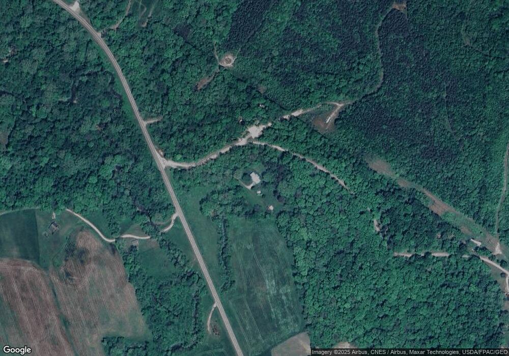
Map
Nearby Homes
- 0 Cox Rd
- 14572 Hock Hocking Rd
- 16532 Haydenville Rd
- 15817 Nickel Plate Rd
- 33461 Barker Rd
- 18004 Buckingham Rd
- 35640 Vickers Rd
- 35619 Vickers Rd
- 0 Scout Rd Unit 225041746
- 35830 Scout Rd
- 35838 Scout Rd
- 12938 Maysville Williams Rd
- 17687 Laurel Run Rd
- 1300 Dannie Dr
- 953 Marla Ave
- 787 Huntley Ave
- 19248 State Route 328
- 741 Huntley Ave
- 18435 Goat Run Honey Fork Rd
- 993 Tolliver Rd
- 16021 State Route 328
- 35950 Greasy Ridge Rd
- 35930 Greasy Ridge Rd
- 36044 Greasy Ridge Rd
- 15750 State Route 328
- 36057 Greasy Ridge Rd
- 15752 State Route 328
- 36117 Greasy Ridge Rd
- 15758 State Route 328
- 16012 Cox Rd
- 16245 State Route 328
- 16021 Cox Rd
- 16480 State Route 328
- 16532 State Route 328
- 15779 Cox Rd
- 16101 Cox Rd
- 15483 State Route 328
- 15475 State Route 328
- 15420 State Route 328
- 15439 State Route 328