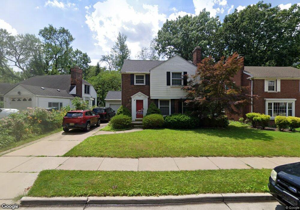
3561 Brewster St Dearborn, MI 48120
Springwells Dearborn NeighborhoodEstimated Value: $363,000 - $502,000
4
Beds
3
Baths
2,464
Sq Ft
$174/Sq Ft
Est. Value
About This Home
This home is located at 3561 Brewster St, Dearborn, MI 48120 and is currently estimated at $428,341, approximately $173 per square foot. 3561 Brewster St is a home located in Wayne County with nearby schools including Geer Park Elementary School, Stout Middle School, and Edsel Ford High School.
Ownership History
Date
Name
Owned For
Owner Type
Purchase Details
Closed on
Feb 9, 2017
Sold by
Resovsky Joseph P and Cullen Flaine M
Bought by
Resovsky Joseph
Current Estimated Value
Purchase Details
Closed on
Jan 26, 2016
Sold by
Resovsky Joseph P and Cullen Elaine M
Bought by
Elaine M Cullen Trust
Purchase Details
Closed on
Aug 8, 2003
Sold by
Mcneill Raymond J and Solenberger Courtney
Bought by
Resovsky Joseph P
Purchase Details
Closed on
Feb 19, 1999
Sold by
Bird Joseph P
Bought by
Mcneill Raymond J
Create a Home Valuation Report for This Property
The Home Valuation Report is an in-depth analysis detailing your home's value as well as a comparison with similar homes in the area
Home Values in the Area
Average Home Value in this Area
Purchase History
| Date | Buyer | Sale Price | Title Company |
|---|---|---|---|
| Resovsky Joseph | -- | None Available | |
| Resovsky Joseph P | -- | None Available | |
| Elaine M Cullen Trust | -- | Attorney | |
| Resovsky Joseph P | $360,000 | Multiple | |
| Mcneill Raymond J | $165,000 | -- |
Source: Public Records
Tax History
| Year | Tax Paid | Tax Assessment Tax Assessment Total Assessment is a certain percentage of the fair market value that is determined by local assessors to be the total taxable value of land and additions on the property. | Land | Improvement |
|---|---|---|---|---|
| 2025 | $4,747 | $160,300 | $0 | $0 |
| 2024 | $4,643 | $152,500 | $0 | $0 |
| 2023 | $4,393 | $142,800 | $0 | $0 |
| 2022 | $4,944 | $145,700 | $0 | $0 |
| 2021 | $5,745 | $140,400 | $0 | $0 |
| 2019 | $5,687 | $118,300 | $0 | $0 |
| 2018 | $4,820 | $108,300 | $0 | $0 |
| 2017 | $1,382 | $104,400 | $0 | $0 |
| 2016 | $4,506 | $105,200 | $0 | $0 |
| 2015 | $8,516 | $104,350 | $0 | $0 |
| 2013 | $8,250 | $82,500 | $0 | $0 |
| 2011 | -- | $86,850 | $0 | $0 |
Source: Public Records
Map
Nearby Homes
- 3 Adams Ln
- 15849 Andover Dr
- 15 Kimberly Ln Unit 56
- 3051 Lindenwood Dr Unit 111
- 3082 Lindenwood Dr
- 4051 Lapham St
- 4509 Helen St
- 4616 Chovin St
- 4702 Palmer St
- 4901 Rosalie St
- 4836 Firestone St
- 4835 Chovin St
- 14203 Barclay St
- 17169 Harman St
- 4215 Schaefer Rd
- 15180 Colson St
- 7 Georgetown Ct
- 4236 Schaefer Rd Unit 4
- 4913 Middlesex St
- 17345 Hanna St
- 3601 Brewster St
- 3549 Brewster St
- 3535 Brewster St
- 8 Clinton Ln
- 3611 Brewster St
- 3517 Brewster St
- 3568 Brewster St
- 3556 Brewster St
- 10 Clinton Ln
- 3600 Brewster St
- 3550 Brewster St
- 3625 Brewster St
- 3501 Brewster St
- 3536 Brewster St
- 3618 Brewster St
- 15900 Middlebury Dr
- 3526 Brewster St
- 3528 Brewster St
- 3630 Brewster St
- 7 Clinton Ln
Your Personal Tour Guide
Ask me questions while you tour the home.