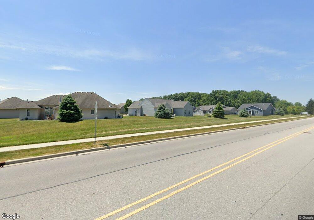
3561 Westport Dr New Haven, IN 46774
Estimated Value: $247,242 - $264,000
2
Beds
2
Baths
1,371
Sq Ft
$185/Sq Ft
Est. Value
About This Home
This home is located at 3561 Westport Dr, New Haven, IN 46774 and is currently estimated at $253,811, approximately $185 per square foot. 3561 Westport Dr is a home located in Allen County with nearby schools including New Haven Primary School, New Haven Intermediate School, and New Haven High School.
Ownership History
Date
Name
Owned For
Owner Type
Purchase Details
Closed on
Jun 8, 2020
Sold by
Roth Diana L
Bought by
Roth Richard J and Brenneke Jennifer M
Current Estimated Value
Purchase Details
Closed on
Dec 2, 2008
Sold by
Roth Samuel J
Bought by
Roth Diana L
Purchase Details
Closed on
Dec 30, 2003
Sold by
D L & J Inc
Bought by
Roth Samuel J
Home Financials for this Owner
Home Financials are based on the most recent Mortgage that was taken out on this home.
Original Mortgage
$125,000
Interest Rate
5.84%
Mortgage Type
Construction
Create a Home Valuation Report for This Property
The Home Valuation Report is an in-depth analysis detailing your home's value as well as a comparison with similar homes in the area
Home Values in the Area
Average Home Value in this Area
Purchase History
| Date | Buyer | Sale Price | Title Company |
|---|---|---|---|
| Roth Richard J | -- | None Listed On Document | |
| Roth Diana L | -- | None Available | |
| Roth Samuel J | -- | Three Rivers Title Co Inc |
Source: Public Records
Mortgage History
| Date | Status | Borrower | Loan Amount |
|---|---|---|---|
| Previous Owner | Roth Samuel J | $125,000 |
Source: Public Records
Tax History Compared to Growth
Tax History
| Year | Tax Paid | Tax Assessment Tax Assessment Total Assessment is a certain percentage of the fair market value that is determined by local assessors to be the total taxable value of land and additions on the property. | Land | Improvement |
|---|---|---|---|---|
| 2024 | $1,027 | $208,300 | $23,100 | $185,200 |
| 2022 | $1,002 | $138,200 | $23,100 | $115,100 |
| 2021 | $983 | $128,200 | $23,100 | $105,100 |
| 2020 | $963 | $129,500 | $23,100 | $106,400 |
| 2019 | $950 | $122,700 | $23,100 | $99,600 |
| 2018 | $926 | $116,900 | $23,100 | $93,800 |
| 2017 | $948 | $116,100 | $23,100 | $93,000 |
| 2016 | $1,167 | $116,200 | $23,100 | $93,100 |
| 2014 | $1,211 | $121,100 | $23,100 | $98,000 |
| 2013 | $1,211 | $121,100 | $18,700 | $102,400 |
Source: Public Records
Map
Nearby Homes
- 310 Moeller Rd
- 719 Moeller Rd
- 3727 Thyme Ct
- 928 Straford Rd
- 9055 Seiler Rd
- 3602 Kirklynn Dr
- 3706 Norland Ln
- 4373 Silver Birch Cove
- 9224 Havenway Dr
- 411 Sara Dr
- Bellamy Plan at Timber Creek
- 1443 Bedford Dr
- 9915 N Country Knoll
- 4528 Timber Creek Pkwy
- 1424 Melbourne Dr
- 2512 Valley Creek Run
- 2427 Valley Creek Run
- 1356 Melbourne Dr
- 3583 Canal Square Dr
- 3586 Canal Square Dr
- 3577 Westport Dr
- 3577 Westport Dr Unit 99
- 3547 Westport Dr
- 3568 Whitepine Dr Unit 106
- 3591 Westport Dr
- 3538 Whitepine Dr Unit 107
- 3537 Westport Dr Unit 96
- 3537 Westport Dr
- 3582 Whitepine Dr
- 3526 Whitepine Dr Unit 108
- 3526 Whitepine Dr
- 3540 Westport Dr
- 3623 Westport Dr
- 3550 Westport Dr
- 3588 Westport Dr
- 3622 Whitepine Dr
- 3598 Westport Dr
- 3639 Westport Dr Unit 102
- 3616 Westport Dr
- 3643 Westport Dr