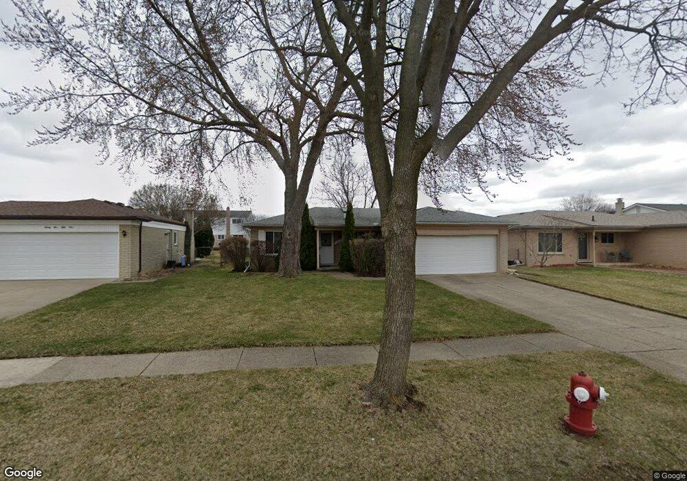
3563 Bates Dr Sterling Heights, MI 48310
Estimated Value: $283,181 - $338,000
--
Bed
--
Bath
1,510
Sq Ft
$208/Sq Ft
Est. Value
About This Home
This home is located at 3563 Bates Dr, Sterling Heights, MI 48310 and is currently estimated at $314,045, approximately $207 per square foot. 3563 Bates Dr is a home located in Macomb County with nearby schools including Schuchard Elementary School, Frank Jeannette Junior High School, and Adlai Stevenson High School.
Ownership History
Date
Name
Owned For
Owner Type
Purchase Details
Closed on
Jun 11, 2004
Sold by
Livin Northerner Mary E
Bought by
Commet James Phillip
Current Estimated Value
Home Financials for this Owner
Home Financials are based on the most recent Mortgage that was taken out on this home.
Original Mortgage
$105,000
Interest Rate
6.46%
Mortgage Type
Balloon
Purchase Details
Closed on
Nov 2, 1995
Sold by
Kaczor Helen T and Kaczor Walter J
Bought by
Livin Kaczor Helen T and Helen T Kaczor Revocable Living Trust
Create a Home Valuation Report for This Property
The Home Valuation Report is an in-depth analysis detailing your home's value as well as a comparison with similar homes in the area
Home Values in the Area
Average Home Value in this Area
Purchase History
| Date | Buyer | Sale Price | Title Company |
|---|---|---|---|
| Commet James Phillip | $178,000 | Lawyers Title | |
| Livin Kaczor Helen T | -- | Philip F Greco Title Company |
Source: Public Records
Mortgage History
| Date | Status | Borrower | Loan Amount |
|---|---|---|---|
| Closed | Commet James Phillip | $105,000 |
Source: Public Records
Tax History Compared to Growth
Tax History
| Year | Tax Paid | Tax Assessment Tax Assessment Total Assessment is a certain percentage of the fair market value that is determined by local assessors to be the total taxable value of land and additions on the property. | Land | Improvement |
|---|---|---|---|---|
| 2025 | $2,890 | $134,400 | $0 | $0 |
| 2024 | $2,643 | $130,900 | $0 | $0 |
| 2023 | $2,495 | $118,200 | $0 | $0 |
| 2022 | $2,601 | $107,900 | $0 | $0 |
| 2021 | $2,547 | $103,200 | $0 | $0 |
| 2020 | $2,272 | $97,600 | $0 | $0 |
| 2019 | $2,173 | $93,300 | $0 | $0 |
| 2018 | $2,354 | $82,200 | $0 | $0 |
| 2017 | $2,249 | $78,000 | $13,500 | $64,500 |
| 2016 | $2,173 | $78,000 | $0 | $0 |
| 2015 | -- | $71,500 | $0 | $0 |
| 2014 | -- | $59,100 | $0 | $0 |
Source: Public Records
Map
Nearby Homes
- 3514 Bates Dr
- 39198 Faith Dr
- 3600 Brandi Dr
- 3777 Hamlet Dr
- 40034 Kristen Dr
- 3816 Pokley Ct
- 40444 Harmon Dr
- 38915 Claremont Ct
- 3550 Kirkton Dr
- 2233 Mellowood Dr
- 3038 Donna Dr
- 40663 Drury Rd
- 38576 Cottonwood Dr
- 40665 Drury Rd
- 2238 Nadine Dr
- 4768 Dreon Ct
- 3349 Dobbin Dr
- 4726 Harrow Ct
- 38338 Coronation Dr
- 39560 Dequindre Rd