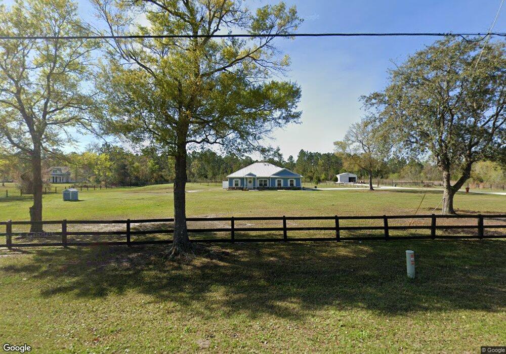
35638 Quail Rd Callahan, FL 32011
Estimated Value: $383,000 - $546,000
4
Beds
2
Baths
2,173
Sq Ft
$213/Sq Ft
Est. Value
About This Home
This home is located at 35638 Quail Rd, Callahan, FL 32011 and is currently estimated at $463,006, approximately $213 per square foot. 35638 Quail Rd is a home with nearby schools including Callahan Elementary School, Callahan Intermediate School, and Callahan Middle School.
Ownership History
Date
Name
Owned For
Owner Type
Purchase Details
Closed on
Jul 7, 2025
Sold by
Overstreet Gail and Overstreet Thomas
Bought by
Overstreet Gail and Overstreet Thomas
Current Estimated Value
Purchase Details
Closed on
Mar 2, 2020
Sold by
Hare Ginger L
Bought by
Overstreet Gail and Overstreet Thomas
Purchase Details
Closed on
Mar 12, 2019
Sold by
Overstreet Gail E and Overstreet Thomas
Bought by
Overstreet Thomas and Overstreet Gail
Purchase Details
Closed on
Dec 12, 2005
Sold by
Arline Thomas
Bought by
Hare Raymond E and Hare Ginger L
Home Financials for this Owner
Home Financials are based on the most recent Mortgage that was taken out on this home.
Original Mortgage
$72,800
Interest Rate
6.29%
Mortgage Type
Purchase Money Mortgage
Create a Home Valuation Report for This Property
The Home Valuation Report is an in-depth analysis detailing your home's value as well as a comparison with similar homes in the area
Home Values in the Area
Average Home Value in this Area
Purchase History
| Date | Buyer | Sale Price | Title Company |
|---|---|---|---|
| Overstreet Gail | -- | None Listed On Document | |
| Overstreet Gail | -- | Amelia Title Agency Inc | |
| Overstreet Thomas | -- | Attorney | |
| Hare Ginger L | -- | Attorney | |
| Hare Raymond E | $91,000 | Nassau Title Company |
Source: Public Records
Mortgage History
| Date | Status | Borrower | Loan Amount |
|---|---|---|---|
| Previous Owner | Hare Raymond E | $72,800 |
Source: Public Records
Tax History Compared to Growth
Tax History
| Year | Tax Paid | Tax Assessment Tax Assessment Total Assessment is a certain percentage of the fair market value that is determined by local assessors to be the total taxable value of land and additions on the property. | Land | Improvement |
|---|---|---|---|---|
| 2024 | $2,944 | $231,086 | -- | -- |
| 2023 | $2,944 | $224,355 | $0 | $0 |
| 2022 | $2,662 | $217,820 | $0 | $0 |
| 2021 | $2,511 | $200,279 | $0 | $0 |
| 2020 | $787 | $49,320 | $49,320 | $0 |
| 2019 | $624 | $41,100 | $41,100 | $0 |
| 2018 | $597 | $40,896 | $0 | $0 |
| 2017 | $464 | $30,672 | $0 | $0 |
| 2016 | $471 | $30,672 | $0 | $0 |
| 2015 | $460 | $28,116 | $0 | $0 |
| 2014 | $404 | $25,560 | $0 | $0 |
Source: Public Records
Map
Nearby Homes
- 0 R Jones Rd Unit MFRO6231511
- 450244 Old Dixie Hwy
- 35326 Quail Rd
- 451632 Old Dixie Hwy
- 451624 Old Dixie Hwy
- 35202 Nancy Rd
- 451064 Old Dixie Hwy
- 35110 Gretchens Way
- 45059 Taylor Rd
- 35061 Karen Rd
- 45101 Blessed Way
- 8A Quail Rd
- 35255 Sherry Rd
- 0 New Ogilvie Rd Unit 108180
- 0 New Ogilvie Rd
- 45397 Ingleham Cir
- 0 Quail Rd Unit 113704
- 0 Quail Rd Unit 25273339
- 45314 Ingleham Cir
- 45522 Ingleham Cir
- 35654 Quail Rd
- 35629 Quail Rd
- 35629 Quail Rd
- 35643 Quail Rd
- 35611 Quail Rd
- 0 Browns Farm Rd Unit 2047794
- 0 Browns Farm Rd Unit 1222064
- 0 Browns Farm Rd Unit 2003074
- 1913 Browns Farm Rd
- 1935 Browns Farm Rd
- 45131 Browns Farm Rd
- 0 Browns Farm Rd
- 35686 Quail Rd
- 45195 Browns Farm Rd
- 000 Marigold Ln
- TBA Marigold Ln
- 45148 Marigold Ln
- 0 Brown Farms Rd Unit 1183248
- 1407 Brownsville Rd
- 45131 Brownsville Rd