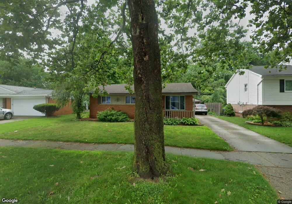
35639 Canyon Dr Westland, MI 48186
Estimated Value: $226,811 - $248,000
--
Bed
1
Bath
1,145
Sq Ft
$208/Sq Ft
Est. Value
About This Home
This home is located at 35639 Canyon Dr, Westland, MI 48186 and is currently estimated at $238,203, approximately $208 per square foot. 35639 Canyon Dr is a home located in Wayne County with nearby schools including Wildwood Elementary School, Marshall Upper Elementary School, and Adlai Stevenson Middle School.
Ownership History
Date
Name
Owned For
Owner Type
Purchase Details
Closed on
Nov 6, 2017
Sold by
Altman Tracee L
Bought by
Case Melissa A
Current Estimated Value
Home Financials for this Owner
Home Financials are based on the most recent Mortgage that was taken out on this home.
Original Mortgage
$102,500
Outstanding Balance
$86,094
Interest Rate
3.94%
Mortgage Type
New Conventional
Estimated Equity
$152,109
Purchase Details
Closed on
Oct 26, 2000
Sold by
Lunsford Seattie M
Bought by
Altman Tracee L
Create a Home Valuation Report for This Property
The Home Valuation Report is an in-depth analysis detailing your home's value as well as a comparison with similar homes in the area
Home Values in the Area
Average Home Value in this Area
Purchase History
| Date | Buyer | Sale Price | Title Company |
|---|---|---|---|
| Case Melissa A | $128,125 | None Available | |
| Altman Tracee L | $150,000 | -- |
Source: Public Records
Mortgage History
| Date | Status | Borrower | Loan Amount |
|---|---|---|---|
| Open | Case Melissa A | $102,500 |
Source: Public Records
Tax History Compared to Growth
Tax History
| Year | Tax Paid | Tax Assessment Tax Assessment Total Assessment is a certain percentage of the fair market value that is determined by local assessors to be the total taxable value of land and additions on the property. | Land | Improvement |
|---|---|---|---|---|
| 2025 | $3,483 | $100,600 | $0 | $0 |
| 2024 | $3,483 | $93,300 | $0 | $0 |
| 2023 | $2,619 | $84,000 | $0 | $0 |
| 2022 | $3,315 | $74,900 | $0 | $0 |
| 2021 | $2,951 | $71,900 | $0 | $0 |
| 2020 | $2,920 | $65,500 | $0 | $0 |
| 2019 | $3,289 | $62,800 | $0 | $0 |
| 2018 | $2,154 | $55,100 | $0 | $0 |
| 2017 | $745 | $50,500 | $0 | $0 |
| 2016 | $2,004 | $51,100 | $0 | $0 |
| 2015 | $3,882 | $47,020 | $0 | $0 |
| 2013 | $3,761 | $38,440 | $0 | $0 |
| 2012 | $1,851 | $40,760 | $0 | $0 |
Source: Public Records
Map
Nearby Homes
- 35608 Somerset St
- 36034 Rolf St
- 35193 Sansburn St
- 36293 Monroe Ave
- 36020 Glen St
- 344 S Christine
- 36323 Monroe Ave
- 35236 Glen St
- 624 N Parent St
- 357 S Dobson St
- 639 N Harvey St
- 34728 Somerset St
- 540 Dartmouth Crescent Ct
- 284 S Byfield St
- 35228 Rosslyn St
- 34610 School St
- 1510 S Crown St
- 366 S Wildwood St
- 35209 Sheridan St
- 232 S Wildwood St
- 35627 Canyon Dr
- 35651 Canyon Dr
- 35615 Canyon Dr
- 35663 Canyon Dr
- 35636 Canyon Dr
- 35648 Canyon Dr
- 35624 Canyon Dr
- 35700 Oakwood Ln
- 35603 Canyon Dr
- 35675 Canyon Dr
- 35660 Canyon Dr
- 35548 Somerset
- 35612 Canyon Dr
- 35672 Canyon Dr
- 35555 Canyon Dr
- 35805 Canyon Dr
- 35645 Somerset St
- 35705 Somerset St
- 35723 Somerset St
- 35750 Oakwood Ln