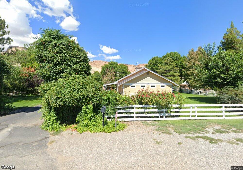
3564 G Rd Palisade, CO 81526
Estimated Value: $600,860 - $885,000
3
Beds
2
Baths
1,846
Sq Ft
$377/Sq Ft
Est. Value
About This Home
This home is located at 3564 G Rd, Palisade, CO 81526 and is currently estimated at $695,965, approximately $377 per square foot. 3564 G Rd is a home located in Mesa County with nearby schools including Taylor Elementary School, Mount Garfield Middle School, and Palisade High School.
Ownership History
Date
Name
Owned For
Owner Type
Purchase Details
Closed on
Nov 19, 2010
Sold by
Hassett Stephan Craig
Bought by
Lively Dorothy L and Lively Jerry W
Current Estimated Value
Home Financials for this Owner
Home Financials are based on the most recent Mortgage that was taken out on this home.
Original Mortgage
$278,400
Outstanding Balance
$183,309
Interest Rate
4.23%
Mortgage Type
New Conventional
Estimated Equity
$512,656
Purchase Details
Closed on
May 21, 2004
Sold by
Poschman Harry A and Poschman Patricia E
Bought by
Hassett Stephan Craig
Home Financials for this Owner
Home Financials are based on the most recent Mortgage that was taken out on this home.
Original Mortgage
$210,000
Interest Rate
5.81%
Mortgage Type
Unknown
Purchase Details
Closed on
Jan 26, 1990
Sold by
Vroman Velma K
Bought by
Lively Jerry W
Create a Home Valuation Report for This Property
The Home Valuation Report is an in-depth analysis detailing your home's value as well as a comparison with similar homes in the area
Home Values in the Area
Average Home Value in this Area
Purchase History
| Date | Buyer | Sale Price | Title Company |
|---|---|---|---|
| Lively Dorothy L | $348,000 | Land Title Guarantee Company | |
| Hassett Stephan Craig | $280,000 | Stewart Title | |
| Lively Jerry W | $104,000 | -- |
Source: Public Records
Mortgage History
| Date | Status | Borrower | Loan Amount |
|---|---|---|---|
| Open | Lively Dorothy L | $278,400 | |
| Previous Owner | Hassett Stephan Craig | $210,000 |
Source: Public Records
Tax History
| Year | Tax Paid | Tax Assessment Tax Assessment Total Assessment is a certain percentage of the fair market value that is determined by local assessors to be the total taxable value of land and additions on the property. | Land | Improvement |
|---|---|---|---|---|
| 2024 | $2,582 | $36,320 | $9,670 | $26,650 |
| 2023 | $2,582 | $36,320 | $9,670 | $26,650 |
| 2022 | $2,030 | $27,760 | $4,520 | $23,240 |
| 2021 | $2,035 | $28,560 | $4,650 | $23,910 |
| 2020 | $1,635 | $23,260 | $4,650 | $18,610 |
| 2019 | $1,547 | $23,260 | $4,650 | $18,610 |
| 2018 | $1,597 | $21,860 | $4,320 | $17,540 |
| 2017 | $1,566 | $21,860 | $4,320 | $17,540 |
| 2016 | $1,383 | $21,650 | $4,780 | $16,870 |
Source: Public Records
Map
Nearby Homes
Your Personal Tour Guide
Ask me questions while you tour the home.