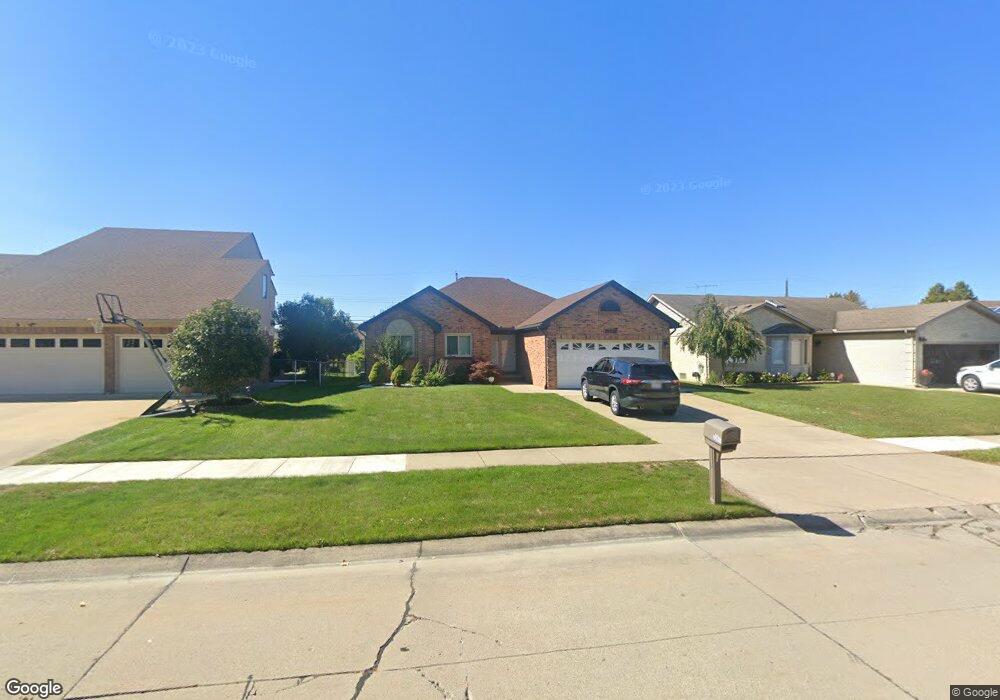
35647 Evanston Ave Sterling Heights, MI 48312
Estimated Value: $344,899 - $400,000
3
Beds
2
Baths
1,590
Sq Ft
$230/Sq Ft
Est. Value
About This Home
This home is located at 35647 Evanston Ave, Sterling Heights, MI 48312 and is currently estimated at $365,725, approximately $230 per square foot. 35647 Evanston Ave is a home located in Macomb County with nearby schools including Willow Woods Elementary School, Carleton Middle School, and Sterling Heights Senior H.S..
Ownership History
Date
Name
Owned For
Owner Type
Purchase Details
Closed on
May 7, 2018
Sold by
Botrous Jamila J
Bought by
Botrous Jowhar and Botrous Lina
Current Estimated Value
Purchase Details
Closed on
Mar 1, 2011
Sold by
Federal Home Loan Mortgage Corporation
Bought by
Botrous Jamila J
Purchase Details
Closed on
Apr 30, 2010
Sold by
Leclerc Gary A and Leclerc Gayle
Bought by
Federal Home Loan Mortgage Corp
Create a Home Valuation Report for This Property
The Home Valuation Report is an in-depth analysis detailing your home's value as well as a comparison with similar homes in the area
Home Values in the Area
Average Home Value in this Area
Purchase History
| Date | Buyer | Sale Price | Title Company |
|---|---|---|---|
| Botrous Jowhar | -- | None Available | |
| Botrous Jamila J | $120,000 | Attorneys Title Agency Llc | |
| Federal Home Loan Mortgage Corp | $88,434 | None Available |
Source: Public Records
Tax History Compared to Growth
Tax History
| Year | Tax Paid | Tax Assessment Tax Assessment Total Assessment is a certain percentage of the fair market value that is determined by local assessors to be the total taxable value of land and additions on the property. | Land | Improvement |
|---|---|---|---|---|
| 2025 | $3,936 | $165,500 | $0 | $0 |
| 2024 | $3,797 | $158,600 | $0 | $0 |
| 2023 | $3,604 | $142,100 | $0 | $0 |
| 2022 | $3,495 | $129,500 | $0 | $0 |
| 2021 | $3,612 | $127,300 | $0 | $0 |
| 2020 | $3,434 | $116,500 | $0 | $0 |
| 2019 | $3,223 | $104,700 | $0 | $0 |
| 2018 | $3,413 | $95,900 | $0 | $0 |
| 2017 | $3,293 | $95,100 | $15,900 | $79,200 |
| 2016 | $3,223 | $95,100 | $0 | $0 |
| 2015 | -- | $87,800 | $0 | $0 |
| 2014 | -- | $77,500 | $0 | $0 |
Source: Public Records
Map
Nearby Homes
- 35695 Bonneville Dr
- 35080 Wellston Ave
- 7700 15 Mile Rd
- 36460 Tarpon Dr
- 11720 15 Mile Rd Unit A-13, 164
- 12227 Polara Dr
- 12245 Canterbury Dr
- 11810 15 Mile Rd Unit 10
- 35517 Turner Dr Unit 237
- 36592 Cecilia Dr
- 11437 Forrer Dr
- 12284 Polara Dr
- 11740 Seaton Dr Unit 4
- 12376 Canterbury Dr
- 34821 Valleyview Dr
- 35122 Terrybrook Dr Unit 20
- 11200 Forrer Dr
- 35622 Malibu Dr
- 12341 de Grove Dr
- 8852 Sunrise Dr Unit 4
- 35661 Evanston Ave
- 35633 Evanston Ave
- 35675 Evanston Ave
- 35654 Wellston Ave
- 35642 Wellston Ave
- 35619 Evanston Ave
- 35666 Wellston Ave
- 35630 Wellston Ave
- 35658 Evanston Ave
- 35670 Evanston Ave
- 35678 Wellston Ave
- 35616 Wellston Ave
- 35689 Evanston Ave
- 35682 Evanston Ave
- 35690 Wellston Ave
- 35694 Evanston Ave
- 35665 Dodge Park
- 35465 Evanston Ave
- 35709 Evanston Ave
- 35691 Dodge Park Rd