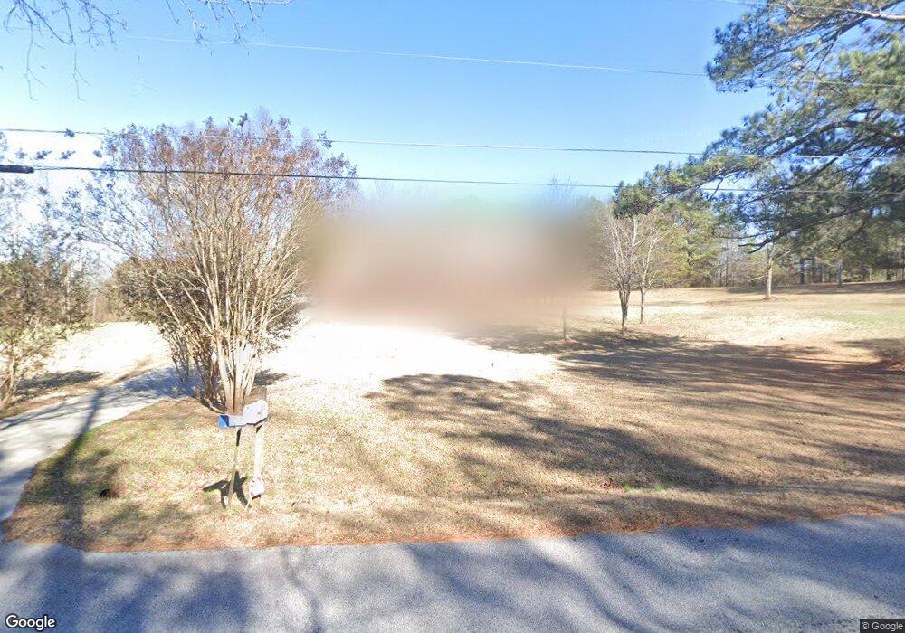
3565 Bullock Bridge Rd SW Monroe, GA 30656
Estimated Value: $613,000 - $939,000
6
Beds
5
Baths
3,050
Sq Ft
$259/Sq Ft
Est. Value
About This Home
This home is located at 3565 Bullock Bridge Rd SW, Monroe, GA 30656 and is currently estimated at $791,380, approximately $259 per square foot. 3565 Bullock Bridge Rd SW is a home located in Walton County with nearby schools including Walker Park Elementary School, Carver Middle School, and Monroe Area High School.
Ownership History
Date
Name
Owned For
Owner Type
Purchase Details
Closed on
May 27, 2010
Sold by
Selene Rmof Reo Acquisition Ii
Bought by
Durden Lisa
Current Estimated Value
Purchase Details
Closed on
Jan 14, 2010
Sold by
Taylor Bean & Whitaker Mtg
Bought by
Selene Rmof Reo Acquisition Ii
Purchase Details
Closed on
Jun 23, 2009
Sold by
Federal Home Loan Mortgage Corporation
Bought by
Taylor Bean & Whitaker Mtg Cor
Purchase Details
Closed on
Apr 7, 2009
Sold by
Taylor Bean Whitaker Mtg Corp
Bought by
Federal Home Loan Mortgage Corporation
Create a Home Valuation Report for This Property
The Home Valuation Report is an in-depth analysis detailing your home's value as well as a comparison with similar homes in the area
Home Values in the Area
Average Home Value in this Area
Purchase History
| Date | Buyer | Sale Price | Title Company |
|---|---|---|---|
| Durden Lisa | $250,000 | -- | |
| Selene Rmof Reo Acquisition Ii | $170,300 | -- | |
| Taylor Bean & Whitaker Mtg Cor | -- | -- | |
| Federal Home Loan Mortgage Corporation | -- | -- | |
| Taylor Bean & Whitaker Mtg Cor | $342,375 | -- |
Source: Public Records
Tax History Compared to Growth
Tax History
| Year | Tax Paid | Tax Assessment Tax Assessment Total Assessment is a certain percentage of the fair market value that is determined by local assessors to be the total taxable value of land and additions on the property. | Land | Improvement |
|---|---|---|---|---|
| 2024 | $6,026 | $286,276 | $33,400 | $252,876 |
| 2023 | $5,377 | $261,156 | $29,320 | $231,836 |
| 2022 | $5,721 | $232,916 | $26,240 | $206,676 |
| 2021 | $5,215 | $197,996 | $20,400 | $177,596 |
| 2020 | $5,186 | $190,236 | $17,680 | $172,556 |
| 2019 | $4,943 | $168,756 | $15,720 | $153,036 |
| 2018 | $4,716 | $168,756 | $15,720 | $153,036 |
| 2017 | $5,673 | $164,636 | $15,720 | $148,916 |
| 2016 | $4,131 | $137,132 | $13,840 | $123,292 |
| 2015 | $3,976 | $126,972 | $13,840 | $113,132 |
| 2014 | $3,989 | $123,308 | $10,640 | $112,668 |
Source: Public Records
Map
Nearby Homes
- 445 Jennifer Springs Dr
- 3791 Double Springs Rd SW
- 860 Ashland Falls Dr
- 402 Arbor Cir SW
- 404 Arbor Cir SW
- 1272 Alcovy Bluff Dr
- 1257 Alcovy Bluff Dr
- 2601 Alexis Way
- 0 Bullock Bridge Rd Unit TRACT 1
- 0 Bullock Bridge Rd Unit TRACT 3
- 0 Bullock Bridge Rd Unit TRACT 2
- 0 Bullock Bridge Rd Unit TRACT 4
- 1465 Bradford Ln
- 1400 Bradford Ln
- 1461 Bradford Ln
- 4119 Double Springs Rd SW
- 1668 Carriage Ct
- 1175 Cherry Bark Ct
- 1122 Cherry Bark Ct
- 1238 Cherry Bark Ct
- 3650 Double Springs Rd SW
- 3570 Bullock Bridge Rd SW
- 801 Ashland Falls Dr
- 3575 Bullock Bridge Rd SW
- 805 Ashland Falls Dr Unit 38
- 805 Ashland Falls Dr
- 3595 Bullock Bridge Rd SW
- 800 Ashland Falls Dr Unit 1-52
- 800 Ashland Falls Dr
- 3605 Double Springs Rd SW
- 809 Ashland Falls Dr
- 809 Ashland Falls Dr Unit 37
- 804 Ashland Falls Dr
- 3623 Double Springs Rd SW
- 3631 Double Springs Rd SW
- 813 Ashland Falls Dr Unit 36
- 813 Ashland Falls Dr
- 3560 Bullock Bridge Rd SW
- 808 Ashland Falls Dr Unit 3
- 808 Ashland Falls Dr