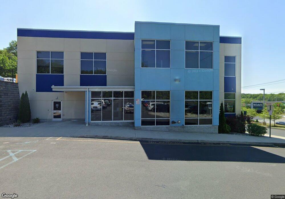
3565 Route 611 Stroudsburg, PA 18360
--
Bed
--
Bath
32,166
Sq Ft
3.16
Acres
About This Home
This home is located at 3565 Route 611, Stroudsburg, PA 18360. 3565 Route 611 is a home located in Monroe County with nearby schools including Stroudsburg Junior High School, Stroudsburg High School, and Stroudsburg Seventh-day Adventist School.
Ownership History
Date
Name
Owned For
Owner Type
Purchase Details
Closed on
Sep 29, 2014
Sold by
J E B Development Lp
Bought by
Kkm Limited Partnership
Home Financials for this Owner
Home Financials are based on the most recent Mortgage that was taken out on this home.
Original Mortgage
$3,200,000
Outstanding Balance
$2,452,361
Interest Rate
4.09%
Mortgage Type
Construction
Purchase Details
Closed on
Mar 27, 2006
Sold by
Crossroads Mail Corp
Bought by
Jeb Development Lp
Purchase Details
Closed on
Nov 16, 2005
Sold by
Maurino Anthony and Maurino Linda
Bought by
Crossroads Mall Corp
Home Financials for this Owner
Home Financials are based on the most recent Mortgage that was taken out on this home.
Original Mortgage
$560,000
Interest Rate
6.14%
Mortgage Type
Unknown
Create a Home Valuation Report for This Property
The Home Valuation Report is an in-depth analysis detailing your home's value as well as a comparison with similar homes in the area
Home Values in the Area
Average Home Value in this Area
Purchase History
| Date | Buyer | Sale Price | Title Company |
|---|---|---|---|
| Kkm Limited Partnership | -- | None Available | |
| Jeb Development Lp | -- | Effort Abstract Inc | |
| Crossroads Mall Corp | $750,000 | Effort Abstract |
Source: Public Records
Mortgage History
| Date | Status | Borrower | Loan Amount |
|---|---|---|---|
| Open | Kkm Limited Partnership | $3,200,000 | |
| Previous Owner | Crossroads Mall Corp | $560,000 |
Source: Public Records
Tax History Compared to Growth
Tax History
| Year | Tax Paid | Tax Assessment Tax Assessment Total Assessment is a certain percentage of the fair market value that is determined by local assessors to be the total taxable value of land and additions on the property. | Land | Improvement |
|---|---|---|---|---|
| 2025 | $42,345 | $5,241,800 | $1,021,440 | $4,220,360 |
| 2024 | $35,347 | $5,241,800 | $1,021,440 | $4,220,360 |
| 2023 | $174,978 | $5,241,800 | $1,021,440 | $4,220,360 |
| 2022 | $178,658 | $5,241,800 | $1,021,440 | $4,220,360 |
| 2021 | $173,170 | $5,241,800 | $1,021,440 | $4,220,360 |
| 2020 | $170,795 | $5,241,800 | $1,021,440 | $4,220,360 |
| 2019 | $61,586 | $326,630 | $38,370 | $288,260 |
| 2018 | $65,702 | $326,630 | $38,370 | $288,260 |
| 2017 | $7,718 | $236,320 | $38,370 | $197,950 |
| 2016 | $1,452 | $38,370 | $38,370 | $0 |
| 2015 | -- | $38,370 | $38,370 | $0 |
| 2014 | -- | $38,370 | $38,370 | $0 |
Source: Public Records
Map
Nearby Homes
- 23 Pennsylvania 611
- 179 Heathrow Ln
- Lot 72 Larkspur Woodruff
- 2463 Larkspur Dr
- 2636 Woodruff Ln
- 2880 Bartonsville Ave
- 45 Coach Rd
- 102 Arbor Way
- 59 Coach Rd
- 2142 Wigwam Park Rd
- 2146 Sky High Dr
- 196 Barton Court Dr
- 171 Barton Court Dr
- 167 Bartion Ct
- 149 Alinda Ln
- 122 Bartion Ct
- 151 Bartion Ct
- 56 Hearthstone Cir
- 135 Barton Court Dr
- 2787 Pocono Cir
- 3565 Route 611
- 3565 Pennsylvania 611
- 4 Pennsylvania 611
- 19 Pennsylvania 611
- 3 Pennsylvania 611
- 64 Pennsylvania 611
- 33 Pennsylvania 611
- 6983 Pennsylvania 611
- 6975 Pennsylvania 611
- 0 Frantz Rd
- 3541 Route 611
- 153 Frantz Rd
- 161 Frantz Rd
- 3533 Pennsylvania 611
- 3533 Route 611
- 0 T 494 Frantz Rd 1a Unit PM-108481
- 0 T 494 Frantz Rd 1a Unit PM-94656
- 3533 Route 611
- 3527 Pennsylvania 611 Unit 2
- 3527 Pennsylvania 611