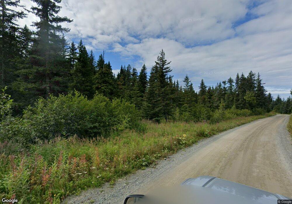
35655 Grove St Anchor Point, AK 99556
Estimated Value: $23,000 - $239,163
1
Bed
1
Bath
648
Sq Ft
$202/Sq Ft
Est. Value
About This Home
This home is located at 35655 Grove St, Anchor Point, AK 99556 and is currently estimated at $131,082, approximately $202 per square foot. 35655 Grove St is a home with nearby schools including Chapman School and Homer High School.
Ownership History
Date
Name
Owned For
Owner Type
Purchase Details
Closed on
Apr 19, 2025
Sold by
Bess Talena and Hulihan James
Bought by
Edge Tammi Odette and Curry Phillip D
Current Estimated Value
Home Financials for this Owner
Home Financials are based on the most recent Mortgage that was taken out on this home.
Original Mortgage
$88,000
Outstanding Balance
$86,458
Interest Rate
5.89%
Mortgage Type
New Conventional
Estimated Equity
$44,624
Purchase Details
Closed on
Sep 10, 2018
Sold by
Scheffler Tonya and Scheffler Tony
Bought by
Buasri Pichest Chet
Purchase Details
Closed on
Jan 27, 2014
Sold by
Dinwiddie Charlie
Bought by
Dinwiddie Charlie
Home Financials for this Owner
Home Financials are based on the most recent Mortgage that was taken out on this home.
Original Mortgage
$60,900
Interest Rate
4.45%
Mortgage Type
VA
Create a Home Valuation Report for This Property
The Home Valuation Report is an in-depth analysis detailing your home's value as well as a comparison with similar homes in the area
Home Values in the Area
Average Home Value in this Area
Purchase History
| Date | Buyer | Sale Price | Title Company |
|---|---|---|---|
| Edge Tammi Odette | -- | Kachemak Bay Title | |
| Buasri Pichest Chet | -- | None Available | |
| Dinwiddie Charlie | -- | First American Title Ins Co |
Source: Public Records
Mortgage History
| Date | Status | Borrower | Loan Amount |
|---|---|---|---|
| Open | Edge Tammi Odette | $88,000 | |
| Previous Owner | Dinwiddie Charlie | $60,900 |
Source: Public Records
Tax History Compared to Growth
Tax History
| Year | Tax Paid | Tax Assessment Tax Assessment Total Assessment is a certain percentage of the fair market value that is determined by local assessors to be the total taxable value of land and additions on the property. | Land | Improvement |
|---|---|---|---|---|
| 2025 | $1,551 | $166,600 | $38,600 | $128,000 |
| 2024 | $775 | $150,400 | $38,600 | $111,800 |
| 2023 | $1,495 | $138,800 | $32,200 | $106,600 |
| 2022 | $1,188 | $107,100 | $25,000 | $82,100 |
| 2021 | $1,261 | $104,500 | $24,300 | $80,200 |
| 2020 | $1,241 | $110,900 | $24,300 | $86,600 |
| 2019 | $667 | $119,700 | $32,200 | $87,500 |
| 2018 | $1,261 | $113,100 | $32,200 | $80,900 |
| 2017 | $1,159 | $105,800 | $32,200 | $73,600 |
| 2016 | -- | $80,400 | $32,200 | $48,200 |
| 2015 | $302 | $86,200 | $32,200 | $54,000 |
| 2014 | $302 | $92,900 | $32,200 | $60,700 |
Source: Public Records
Map
Nearby Homes
- 35555 Old Sterling Hwy
- 35890 Old Sterling Hwy
- 35144 Danver St
- 35765 Erin Way
- 73901 Kirtley Ct
- 35196 Nordic Ct
- 73528 Breakaway Rd
- 73549 Breakaway Rd
- 73956 Desa Ave
- 73481 Ann Rd
- 73487 Ann Ct
- 000 Anchor Point Rd
- 74057 Anchor Point Rd
- L7 Danver St
- 73790 Cuffel Ditton Rd
- 34427 Birch St
- 34405 Birch St
- 000 Old Sterling Hwy
- 73595 School Ave
- 73340 School Ave
- L3 B4 Ashford Dr
- L1 B4 Westwood Ave
- 35711 Lazydays St
- 35655 Lazydays St
- 73668 Ashford Dr
- L1 B5 Ashford
- 73810 Seabury Rd
- 73648 Ashford Dr
- 73752 Ashford Dr
- L5 B4 Groves St
- 73680 Seabury Rd
- L5 East Ave
- 73485 Finlander Ct
- 73816 Seabury Rd
- 35680 Westwood Dr
- 206 Grove St
- 35728 Westwood Dr
- 35707 Lifeboat Loop
- 73805 Seabury Rd
- 35807 Lifeboat Loop
