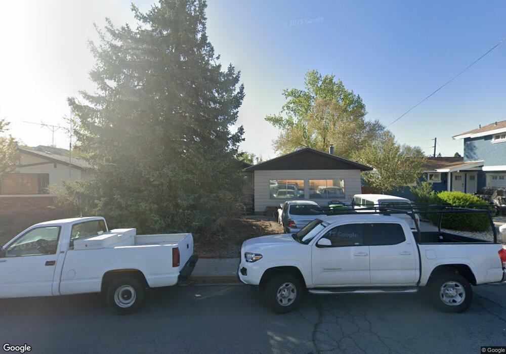
3566 4th St Sparks, NV 89431
McCarran Boulevard-Probasco NeighborhoodEstimated Value: $386,686 - $401,000
3
Beds
3
Baths
988
Sq Ft
$398/Sq Ft
Est. Value
About This Home
This home is located at 3566 4th St, Sparks, NV 89431 and is currently estimated at $393,422, approximately $398 per square foot. 3566 4th St is a home located in Washoe County with nearby schools including Lena Juniper Elementary School, Lou Mendive Middle School, and Edward C Reed High School.
Ownership History
Date
Name
Owned For
Owner Type
Purchase Details
Closed on
Apr 10, 2025
Sold by
Washoe County Treasurer
Bought by
Panos Troy A
Current Estimated Value
Purchase Details
Closed on
Jun 10, 2024
Sold by
County Of Washoe
Bought by
County Of Washoe
Purchase Details
Closed on
May 22, 1995
Sold by
Bullock Gladys
Bought by
Bullock Gladys and Panos Troy Allene
Create a Home Valuation Report for This Property
The Home Valuation Report is an in-depth analysis detailing your home's value as well as a comparison with similar homes in the area
Home Values in the Area
Average Home Value in this Area
Purchase History
| Date | Buyer | Sale Price | Title Company |
|---|---|---|---|
| Panos Troy A | $8,028 | None Listed On Document | |
| County Of Washoe | -- | None Listed On Document | |
| Bullock Gladys | -- | -- |
Source: Public Records
Tax History Compared to Growth
Tax History
| Year | Tax Paid | Tax Assessment Tax Assessment Total Assessment is a certain percentage of the fair market value that is determined by local assessors to be the total taxable value of land and additions on the property. | Land | Improvement |
|---|---|---|---|---|
| 2025 | $1,769 | $54,575 | $36,715 | $17,860 |
| 2024 | $1,769 | $52,374 | $34,755 | $17,619 |
| 2023 | $1,783 | $51,210 | $34,930 | $16,280 |
| 2022 | $1,384 | $41,653 | $28,455 | $13,198 |
| 2021 | $795 | $32,358 | $19,635 | $12,723 |
| 2020 | $771 | $30,519 | $17,850 | $12,669 |
| 2019 | $749 | $30,734 | $18,725 | $12,009 |
| 2018 | $729 | $25,067 | $13,545 | $11,522 |
| 2017 | $708 | $23,606 | $12,075 | $11,531 |
| 2016 | $691 | $23,087 | $11,550 | $11,537 |
| 2015 | $691 | $20,862 | $9,415 | $11,447 |
| 2014 | $669 | $19,512 | $7,980 | $11,532 |
| 2013 | -- | $17,811 | $5,985 | $11,826 |
Source: Public Records
Map
Nearby Homes
- 3545 4th St
- 3607 Keogh Dr
- 3465 Dawn Cir
- 3595 Rocky Ridge Ct
- 3245 Elaine Way
- 780 Emerson Way
- 120 E Lenwood Dr
- 465 Lenwood Dr
- 3332 Shari Way
- 119 Devere Way
- 3104 Sandy St
- 3071 Meadowlands Dr
- 2865 Patrice Dr
- 3252 Holman Way
- 5530 High Rock Way
- 3200 Bristle Branch Dr
- 10 Sheridan Way
- 3198 Bristle Branch Dr
- 3188 Bristle Branch Dr
- 3167 Bristle Branch Dr