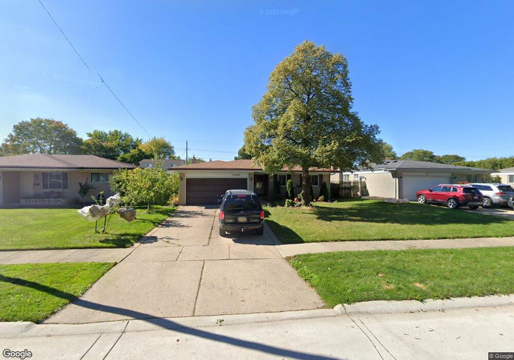
35667 Deville Dr Sterling Heights, MI 48312
Estimated Value: $290,000 - $308,000
3
Beds
2
Baths
1,353
Sq Ft
$219/Sq Ft
Est. Value
About This Home
This home is located at 35667 Deville Dr, Sterling Heights, MI 48312 and is currently estimated at $296,041, approximately $218 per square foot. 35667 Deville Dr is a home located in Macomb County with nearby schools including Willow Woods Elementary School, Carleton Middle School, and Sterling Heights Senior H.S..
Ownership History
Date
Name
Owned For
Owner Type
Purchase Details
Closed on
Mar 22, 2007
Sold by
Lafleur Jacob W and Lafleur Evelyn
Bought by
Lafleur John
Current Estimated Value
Purchase Details
Closed on
Dec 2, 2005
Sold by
Lonczynski Richard and Lonczynski Sharon
Bought by
Williams Robert A
Purchase Details
Closed on
Nov 30, 2004
Sold by
Strebor Funding Inc
Bought by
First Security Real Estate Corp
Purchase Details
Closed on
Nov 12, 2004
Sold by
Lonczynski Richard A and Lonczynski Sharon
Bought by
Strebor Funding Inc
Create a Home Valuation Report for This Property
The Home Valuation Report is an in-depth analysis detailing your home's value as well as a comparison with similar homes in the area
Home Values in the Area
Average Home Value in this Area
Purchase History
| Date | Buyer | Sale Price | Title Company |
|---|---|---|---|
| Lafleur John | -- | None Available | |
| Lafleur Jacob W | $153,750 | Greco | |
| Williams Robert A | $116,800 | -- | |
| First Security Real Estate Corp | -- | Summit | |
| Strebor Funding Inc | $94,680 | -- |
Source: Public Records
Tax History Compared to Growth
Tax History
| Year | Tax Paid | Tax Assessment Tax Assessment Total Assessment is a certain percentage of the fair market value that is determined by local assessors to be the total taxable value of land and additions on the property. | Land | Improvement |
|---|---|---|---|---|
| 2025 | $3,010 | $132,100 | $0 | $0 |
| 2024 | $2,903 | $123,200 | $0 | $0 |
| 2023 | $2,756 | $110,300 | $0 | $0 |
| 2022 | $2,673 | $97,700 | $0 | $0 |
| 2021 | $2,762 | $90,900 | $0 | $0 |
| 2020 | $2,626 | $89,100 | $0 | $0 |
| 2019 | $2,465 | $80,900 | $0 | $0 |
| 2018 | $2,610 | $73,000 | $0 | $0 |
| 2017 | $2,519 | $70,300 | $15,000 | $55,300 |
| 2016 | $2,465 | $70,300 | $0 | $0 |
| 2015 | -- | $64,800 | $0 | $0 |
| 2014 | -- | $55,200 | $0 | $0 |
Source: Public Records
Map
Nearby Homes
- 35695 Bonneville Dr
- 12227 Polara Dr
- 12284 Polara Dr
- 12245 Canterbury Dr
- 35622 Malibu Dr
- 12376 Canterbury Dr
- 36460 Tarpon Dr
- 11810 15 Mile Rd Unit 10
- 7700 15 Mile Rd
- 11720 15 Mile Rd Unit A-13, 164
- 35080 Wellston Ave
- 12341 de Grove Dr
- 11740 Seaton Dr Unit 4
- 36365 Idaho Dr
- 34821 Valleyview Dr
- 36592 Cecilia Dr
- 12029 Ina Dr Unit 100 Bld 3D
- 11919 Ina Dr
- 35827 Rainbow Dr
- 11437 Forrer Dr
- 35655 Deville Dr
- 35679 Deville Dr
- 35660 Bonneville Dr
- 35643 Deville Dr
- 35691 Deville Dr
- 35672 Bonneville Dr
- 35648 Bonneville Dr
- 35684 Bonneville Dr
- 35636 Bonneville Dr
- 35668 Deville Dr
- 35631 Deville Dr
- 35803 Deville Dr
- 35680 Deville Dr
- 35656 Deville Dr
- 35692 Deville Dr
- 35624 Bonneville Dr
- 35696 Bonneville Dr
- 35644 Deville Dr
- 35825 Deville Dr
- 35619 Deville Dr