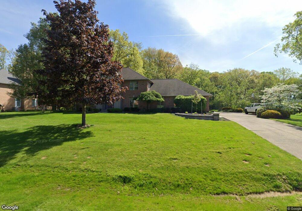
3567 Parfoure Blvd Uniontown, OH 44685
Estimated Value: $515,000 - $582,000
4
Beds
3
Baths
2,804
Sq Ft
$190/Sq Ft
Est. Value
About This Home
This home is located at 3567 Parfoure Blvd, Uniontown, OH 44685 and is currently estimated at $534,136, approximately $190 per square foot. 3567 Parfoure Blvd is a home located in Summit County with nearby schools including Greenwood Elementary School, Green Primary School, and Green Intermediate Elementary School.
Ownership History
Date
Name
Owned For
Owner Type
Purchase Details
Closed on
Oct 23, 2000
Sold by
Eilmann Ervin T and Eilmann Linda M
Bought by
Fogarty Edward J and Fogarty Sherry L
Current Estimated Value
Home Financials for this Owner
Home Financials are based on the most recent Mortgage that was taken out on this home.
Original Mortgage
$252,700
Interest Rate
7.9%
Create a Home Valuation Report for This Property
The Home Valuation Report is an in-depth analysis detailing your home's value as well as a comparison with similar homes in the area
Home Values in the Area
Average Home Value in this Area
Purchase History
| Date | Buyer | Sale Price | Title Company |
|---|---|---|---|
| Fogarty Edward J | $328,000 | Approved Statewide Title Age |
Source: Public Records
Mortgage History
| Date | Status | Borrower | Loan Amount |
|---|---|---|---|
| Closed | Fogarty Edward J | $252,700 |
Source: Public Records
Tax History Compared to Growth
Tax History
| Year | Tax Paid | Tax Assessment Tax Assessment Total Assessment is a certain percentage of the fair market value that is determined by local assessors to be the total taxable value of land and additions on the property. | Land | Improvement |
|---|---|---|---|---|
| 2025 | $6,627 | $148,023 | $25,407 | $122,616 |
| 2024 | $6,627 | $148,023 | $25,407 | $122,616 |
| 2023 | $6,627 | $148,023 | $25,407 | $122,616 |
| 2022 | $5,601 | $114,034 | $19,544 | $94,490 |
| 2021 | $5,259 | $114,034 | $19,544 | $94,490 |
| 2020 | $5,157 | $114,030 | $19,540 | $94,490 |
| 2019 | $5,827 | $120,570 | $19,540 | $101,030 |
| 2018 | $5,955 | $120,570 | $19,540 | $101,030 |
| 2017 | $5,747 | $120,570 | $19,540 | $101,030 |
| 2016 | $5,717 | $109,820 | $19,540 | $90,280 |
| 2015 | $5,747 | $109,820 | $19,540 | $90,280 |
| 2014 | $5,708 | $109,820 | $19,540 | $90,280 |
| 2013 | $5,881 | $112,430 | $19,540 | $92,890 |
Source: Public Records
Map
Nearby Homes
- 3523 Parfoure Blvd
- 1959 Fairway Dr
- 0 Raber Terrace
- 2189 E Park Dr
- 3544 Raber Terrace
- 3598 Elmhurst Cir
- 2245 Glenross Dr
- 3609 Glenshire Cir Unit 55B
- 3541 Elmhurst Cir
- 2154 Prestwick Dr
- 2518 Glenshire Cir Unit 36A
- 3083 Massillon Rd
- 3117 Imrek Dr
- 2511 Royal County Down
- 3534 Chanticleer Ct
- 2535 Royal County Down Unit B
- 2500 Marlborough Dr
- Northwood Plan at Spring Hill - Spring Hill Villas
- Kenai Plan at Spring Hill - Spring Hill Villas
- Bradbern Plan at Spring Hill - Spring Hill Villas
- 3553 Parfoure Blvd
- 3581 Parfoure Blvd
- 3572 Parfoure Blvd
- 3560 Parfoure Blvd
- 3539 Parfoure Blvd
- 3586 Parfoure Blvd
- Lot# 35 Parfoure Blvd
- 3536 Parfoure Blvd
- 1909 Raber Rd
- 3526 Parfoure Blvd
- 3513 Parfoure Blvd
- 1900 Players Cir
- 3522 Parfoure Blvd
- 1904 Players Cir
- 1961 Birkdale Dr
- 1971 Birkdale Dr
- 1951 Birkdale Dr
- 3503 Parfoure Blvd
- 1914 Raber Rd
- 3575 Saddleboro Dr