357 Audobon Dr Corolla, NC 27927
Estimated Value: $3,168,000 - $4,826,168
10
Beds
13
Baths
8,485
Sq Ft
$471/Sq Ft
Est. Value
About This Home
This home is located at 357 Audobon Dr, Corolla, NC 27927 and is currently estimated at $3,997,084, approximately $471 per square foot. 357 Audobon Dr is a home located in Currituck County with nearby schools including Knotts Island Elementary School, Currituck County Middle School, and Currituck County High School.
Ownership History
Date
Name
Owned For
Owner Type
Purchase Details
Closed on
Sep 13, 2016
Sold by
Pine Island Club Llc
Bought by
Wahrman Paul and Wahrman Julie
Current Estimated Value
Home Financials for this Owner
Home Financials are based on the most recent Mortgage that was taken out on this home.
Original Mortgage
$975,000
Outstanding Balance
$774,558
Interest Rate
3.43%
Mortgage Type
Commercial
Estimated Equity
$3,222,526
Create a Home Valuation Report for This Property
The Home Valuation Report is an in-depth analysis detailing your home's value as well as a comparison with similar homes in the area
Home Values in the Area
Average Home Value in this Area
Purchase History
| Date | Buyer | Sale Price | Title Company |
|---|---|---|---|
| Wahrman Paul | $1,500,000 | Attorney |
Source: Public Records
Mortgage History
| Date | Status | Borrower | Loan Amount |
|---|---|---|---|
| Open | Wahrman Paul | $975,000 |
Source: Public Records
Tax History
| Year | Tax Paid | Tax Assessment Tax Assessment Total Assessment is a certain percentage of the fair market value that is determined by local assessors to be the total taxable value of land and additions on the property. | Land | Improvement |
|---|---|---|---|---|
| 2025 | $20,280 | $2,759,300 | $1,382,400 | $1,376,900 |
| 2024 | $20,168 | $2,746,200 | $1,382,400 | $1,363,800 |
| 2023 | $20,168 | $2,746,200 | $1,382,400 | $1,363,800 |
| 2022 | $14,789 | $2,746,200 | $1,382,400 | $1,363,800 |
| 2021 | $14,774 | $2,364,100 | $1,188,000 | $1,176,100 |
| 2020 | $13,111 | $2,364,100 | $1,188,000 | $1,176,100 |
| 2019 | $13,111 | $2,364,100 | $1,188,000 | $1,176,100 |
| 2018 | $13,111 | $2,338,900 | $1,188,000 | $1,150,900 |
| 2017 | $5,702 | $1,188,000 | $1,188,000 | $0 |
| 2016 | $5,702 | $1,188,000 | $1,188,000 | $0 |
Source: Public Records
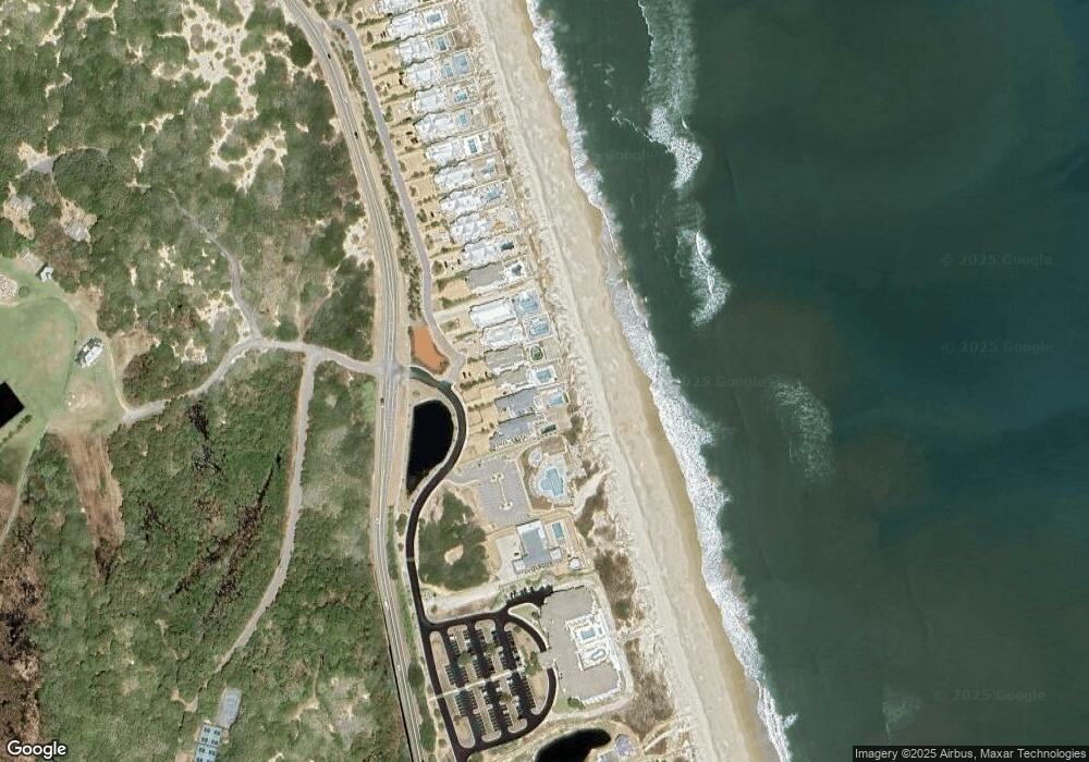
Map
Nearby Homes
- 369 Deep Neck Rd Unit Lot 139
- 385 Deep Neck Rd Unit Lot 131
- 399 Deep Neck Rd Unit Lot 124
- 417 Deep Neck Rd Unit 88
- 440 Myrtle Pond Rd Unit Lot 115
- 448 Myrtle Pond Rd Unit 119
- 470 Pipsis Point Rd Unit 14
- 469 Island Lead Rd Unit Lot 159
- 473 Island Lead Rd Unit Lot 161
- 475 Island Lead Rd Unit Lot 162
- 502 Magnolia Way Unit Lot31
- 521 Meadow Ln Unit 70
- 503 Brown Pelican Ct Unit Lot 1
- 135 Salt House Rd Unit Lot 255
- 518 Whooping Crane Ct Unit Lot 27
- 550 Ocean Trail Unit 131
- 574 Live Oak Ct Unit Lot 81
- 573 Live Oak Ct Unit Lot 79
- 504 Sandbucket Arch Unit Lot 150
- 118 N Baum Trail Unit 10
- 337 Lindsey Ln
- 355 Audobon Dr
- 353 Audobon Dr
- 339 Lindsey Ln
- 341 Lindsey Ln
- 343 Lindsey Ln
- 343 Lindsey Ln Unit Lot 13
- 343 Lindsey Ln
- 345 Lindsey Ln
- 347 Lindsey Ln
- 345 Audobon Dr
- 349 Lindsey Ln
- 351 Lindsey Ln
- 353 Lindsey Ln
- 355 Lindsey Ln
- 357 Lindsey Ln
- 359 Lindsey Ln
- 361 Lindsey Ln
- 363 Lindsey Ln Unit 3
- 365 Lindsey Ln
Your Personal Tour Guide
Ask me questions while you tour the home.