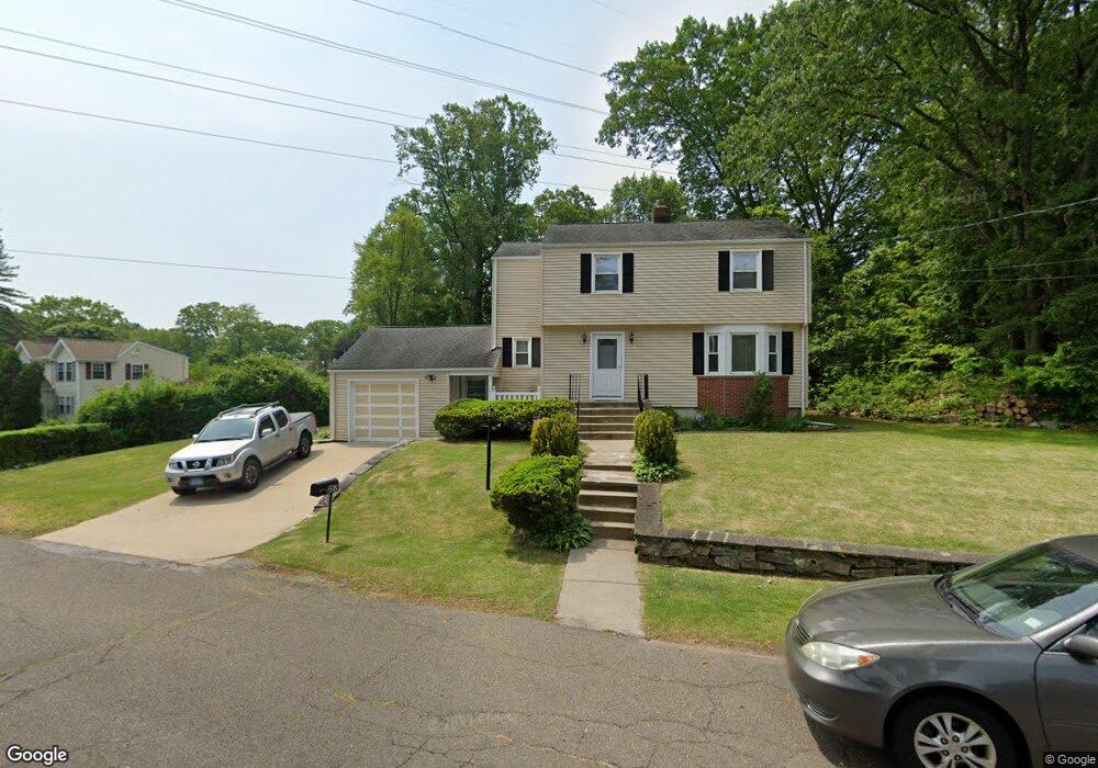
357 Dexter Dr Bridgeport, CT 06606
North End NeighborhoodEstimated Value: $437,000 - $529,000
3
Beds
2
Baths
1,834
Sq Ft
$263/Sq Ft
Est. Value
About This Home
This home is located at 357 Dexter Dr, Bridgeport, CT 06606 and is currently estimated at $483,018, approximately $263 per square foot. 357 Dexter Dr is a home located in Fairfield County with nearby schools including Wilbur L. Cross Elementary School, Central High School, and Northeastern Adventist Academy - Fairfield County.
Ownership History
Date
Name
Owned For
Owner Type
Purchase Details
Closed on
Aug 18, 1999
Sold by
Sisken Sadie
Bought by
Rhynie Keith and Rhynie Dyon
Current Estimated Value
Home Financials for this Owner
Home Financials are based on the most recent Mortgage that was taken out on this home.
Original Mortgage
$121,200
Interest Rate
7.6%
Create a Home Valuation Report for This Property
The Home Valuation Report is an in-depth analysis detailing your home's value as well as a comparison with similar homes in the area
Home Values in the Area
Average Home Value in this Area
Purchase History
| Date | Buyer | Sale Price | Title Company |
|---|---|---|---|
| Rhynie Keith | $125,000 | -- | |
| Rhynie Keith | $125,000 | -- |
Source: Public Records
Mortgage History
| Date | Status | Borrower | Loan Amount |
|---|---|---|---|
| Closed | Rhynie Keith | $140,000 | |
| Closed | Rhynie Keith | $25,000 | |
| Closed | Rhynie Keith | $121,200 |
Source: Public Records
Tax History
| Year | Tax Paid | Tax Assessment Tax Assessment Total Assessment is a certain percentage of the fair market value that is determined by local assessors to be the total taxable value of land and additions on the property. | Land | Improvement |
|---|---|---|---|---|
| 2025 | $8,845 | $203,560 | $89,260 | $114,300 |
| 2024 | $8,845 | $203,560 | $89,260 | $114,300 |
| 2023 | $8,845 | $203,560 | $89,260 | $114,300 |
| 2022 | $8,845 | $203,560 | $89,260 | $114,300 |
| 2021 | $8,845 | $203,560 | $89,260 | $114,300 |
| 2020 | $8,546 | $158,290 | $69,930 | $88,360 |
| 2019 | $8,546 | $158,290 | $69,930 | $88,360 |
| 2018 | $8,606 | $158,290 | $69,930 | $88,360 |
| 2017 | $8,606 | $158,290 | $69,930 | $88,360 |
| 2016 | $8,606 | $158,290 | $69,930 | $88,360 |
| 2015 | $7,759 | $183,870 | $76,640 | $107,230 |
| 2014 | $7,759 | $183,870 | $76,640 | $107,230 |
Source: Public Records
Map
Nearby Homes
- 563 Lakeside Dr
- 11 Linda Dr
- 74 Village Ln
- 45 Frenchtown Rd
- 1403 Old Town Rd Unit 1403
- 65 Bonnie View Dr
- 291 Frenchtown Rd
- 1376 Chopsey Hill Rd
- 364 Griffin Ave
- 93 Oxford St Unit 95
- 1320 Chopsey Hill Rd
- 114 Minturn Place
- 114 Oxford St
- 110 Minturn Rd
- 26 Victory St
- 65 Clearview Dr
- 35 Marcel St
- 26 Karen Ct Unit A
- 82 Yaremich Dr
- 165 Yaremich Dr
- 383 Dexter Dr
- 360 Dexter Dr
- 335 Dexter Dr
- 45 Cumberland Dr
- 154 Ridgebrook Dr
- 25 Cumberland Dr
- 321 Dexter Dr
- 376 Dexter Dr
- 55 Cumberland Dr
- 140 Ridgebrook Dr
- 540 Lakeside Dr
- 65 Cumberland Dr
- 410 Dexter Dr
- 550 Lakeside Dr
- 300 Dexter Dr
- 400 Dexter Dr
- 307 Dexter Dr
- 530 Lakeside Dr
- 36 Cumberland Dr
- 120 Ridgebrook Dr
Your Personal Tour Guide
Ask me questions while you tour the home.