357 High St Block Island, RI 02807
Estimated Value: $1,099,210 - $1,677,000
--
Bed
2
Baths
1,444
Sq Ft
$910/Sq Ft
Est. Value
About This Home
This home is located at 357 High St, Block Island, RI 02807 and is currently estimated at $1,314,303, approximately $910 per square foot. 357 High St is a home with nearby schools including Block Island School.
Ownership History
Date
Name
Owned For
Owner Type
Purchase Details
Closed on
Mar 11, 2025
Sold by
Eureka Hotel Inc and Garden Lot Llc
Bought by
Eureka Hotel Inc
Current Estimated Value
Purchase Details
Closed on
Jul 1, 1984
Bought by
Eureka Hotel Inc
Create a Home Valuation Report for This Property
The Home Valuation Report is an in-depth analysis detailing your home's value as well as a comparison with similar homes in the area
Home Values in the Area
Average Home Value in this Area
Purchase History
| Date | Buyer | Sale Price | Title Company |
|---|---|---|---|
| Eureka Hotel Inc | -- | None Available | |
| Eureka Hotel Inc | -- | None Available | |
| Eureka Hotel Inc | -- | None Available | |
| Eureka Hotel Inc | $135,000 | -- |
Source: Public Records
Tax History
| Year | Tax Paid | Tax Assessment Tax Assessment Total Assessment is a certain percentage of the fair market value that is determined by local assessors to be the total taxable value of land and additions on the property. | Land | Improvement |
|---|---|---|---|---|
| 2025 | $3,797 | $659,200 | $303,700 | $355,500 |
| 2024 | $3,669 | $664,700 | $303,700 | $361,000 |
| 2023 | $4,001 | $664,700 | $303,700 | $361,000 |
| 2022 | $2,874 | $406,000 | $269,920 | $136,080 |
| 2021 | $2,720 | $406,000 | $269,920 | $136,080 |
| 2020 | $2,582 | $406,000 | $269,920 | $136,080 |
| 2019 | $2,501 | $406,000 | $269,920 | $136,080 |
| 2018 | $2,315 | $389,120 | $257,040 | $132,080 |
| 2017 | $2,280 | $389,120 | $257,040 | $132,080 |
| 2016 | $2,226 | $389,120 | $257,040 | $132,080 |
| 2015 | $2,722 | $494,100 | $321,300 | $172,800 |
| 2014 | $2,638 | $494,100 | $321,300 | $172,800 |
| 2013 | $2,574 | $494,100 | $321,300 | $172,800 |
Source: Public Records
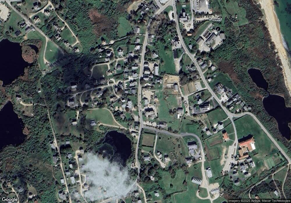
Map
Nearby Homes
- 1289 High St
- 256 High St
- 1806 High St Unit 3
- 1800 High St
- 194 Pilot Hill Rd
- 454 Ocean Ave
- 0 Southeast Rd Unit 1381406
- 0 Pilot Hill Rd
- 1661 Sand Pond Rd
- 1087 Lakeside Dr
- 557 Center Rd
- 1202 W Side Rd
- 804 Mohegan Trail
- 0 Mohegan Trail
- 1501 Beacon Hill Rd
- 1448 Mohegan Trail
- 1035 Mohegan Trail
- 0 Snake Hole Rd
- 1720 Corn Neck Rd
- 1557 W Side Rd
Your Personal Tour Guide
Ask me questions while you tour the home.