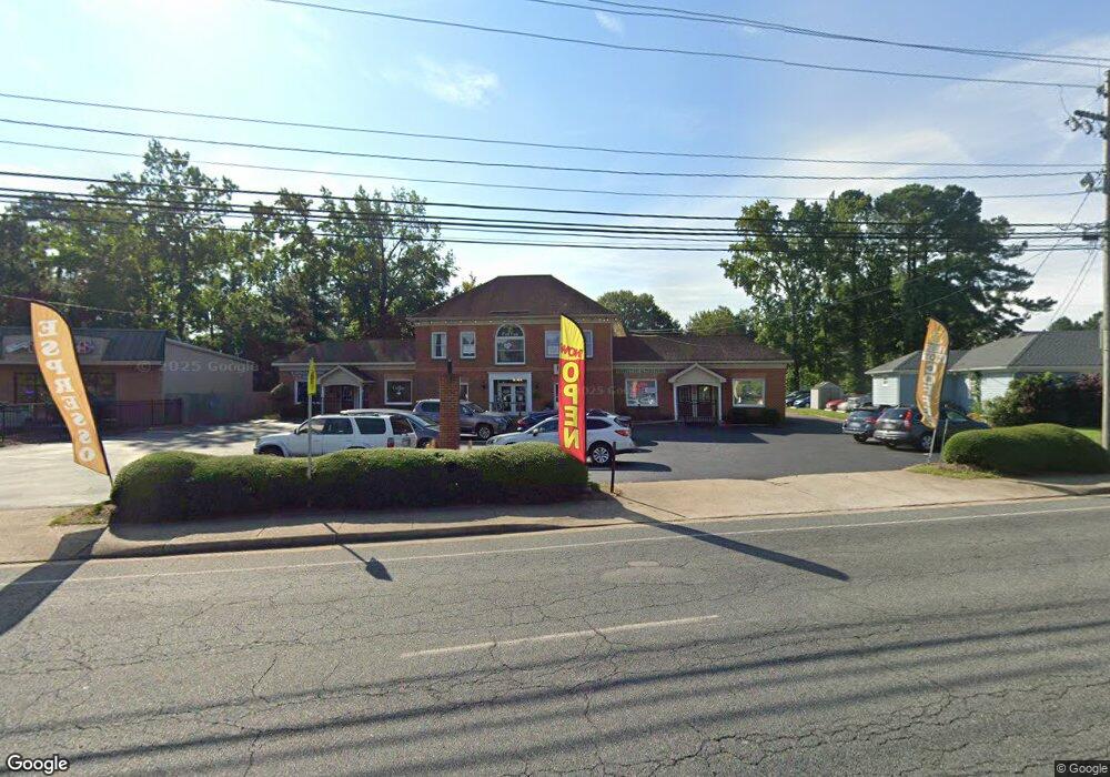
357 Johnstown Rd Chesapeake, VA 23322
Great Bridge NeighborhoodEstimated Value: $1,190,350
Studio
--
Bath
6,176
Sq Ft
$193/Sq Ft
Est. Value
About This Home
This home is located at 357 Johnstown Rd, Chesapeake, VA 23322 and is currently estimated at $1,190,350, approximately $192 per square foot. 357 Johnstown Rd is a home located in Chesapeake City with nearby schools including Great Bridge Primary School, Great Bridge Intermediate School, and Great Bridge Middle School.
Ownership History
Date
Name
Owned For
Owner Type
Purchase Details
Closed on
Oct 7, 2003
Sold by
Johnston House Assocs
Bought by
Michael L L C
Current Estimated Value
Home Financials for this Owner
Home Financials are based on the most recent Mortgage that was taken out on this home.
Original Mortgage
$490,000
Outstanding Balance
$229,290
Interest Rate
6.25%
Mortgage Type
Commercial
Estimated Equity
$961,060
Create a Home Valuation Report for This Property
The Home Valuation Report is an in-depth analysis detailing your home's value as well as a comparison with similar homes in the area
Home Values in the Area
Average Home Value in this Area
Purchase History
| Date | Buyer | Sale Price | Title Company |
|---|---|---|---|
| Michael L L C | $490,000 | -- |
Source: Public Records
Mortgage History
| Date | Status | Borrower | Loan Amount |
|---|---|---|---|
| Open | Michael L L C | $490,000 |
Source: Public Records
Tax History
| Year | Tax Paid | Tax Assessment Tax Assessment Total Assessment is a certain percentage of the fair market value that is determined by local assessors to be the total taxable value of land and additions on the property. | Land | Improvement |
|---|---|---|---|---|
| 2025 | $9,302 | $916,100 | $317,400 | $598,700 |
| 2024 | $9,302 | $921,000 | $291,000 | $630,000 |
| 2023 | $9,062 | $1,016,700 | $291,000 | $725,700 |
| 2022 | $9,816 | $971,900 | $291,000 | $680,900 |
| 2021 | $8,081 | $769,600 | $291,000 | $478,600 |
| 2020 | $8,108 | $772,200 | $291,000 | $481,200 |
| 2019 | $7,777 | $740,700 | $291,000 | $449,700 |
| 2018 | $7,087 | $654,700 | $225,300 | $429,400 |
| 2017 | $6,874 | $654,700 | $225,300 | $429,400 |
| 2016 | $6,596 | $628,200 | $198,800 | $429,400 |
| 2015 | $6,564 | $625,100 | $198,800 | $426,300 |
| 2014 | $6,564 | $625,100 | $198,800 | $426,300 |
Source: Public Records
Map
Nearby Homes
- 130 Horse Run Dr
- 149 Horse Run Dr
- 136 Old Dr
- 208 Old Dr
- 120 Cedar Rd
- 301 Woodbridge Dr
- 276 Bridgeview Cir
- 120 Causeway Dr
- 513 Saber Dr
- 126 W Royce Dr
- 433 Flintlock Rd
- 469 E Lake Cir
- 605 Hollygate Ln
- 528 Wickwood Dr
- 400 Beauregard Dr
- 605 Resh Ct
- 400 S Lake Cir
- 627 Luray Terrace
- 316 S Hill Ln
- 6 Harbor Watch Dr Unit 305
- 369 Johnstown Rd
- 3+ac Battlefield Blvd
- 1 N Kingsbridge Place
- 343 Nottingham Dr
- 309 Johnstown Rd
- 392 Battlefield Blvd S
- 307 Johnstown Rd
- 339 Nottingham Dr
- 341 Nottingham Dr
- 201 Willard Dr
- 337 Nottingham Dr
- 335 Nottingham Dr
- 333 Nottingham Dr
- 400 Battlefield Blvd S
- 388 Battlefield Blvd S
- 329 Nottingham Dr
- 3.16ac Johnstown Rd
- 3 Johnstown Crescent
- 3 Johnstown Crescent
- 205 Willard Dr
Your Personal Tour Guide
Ask me questions while you tour the home.