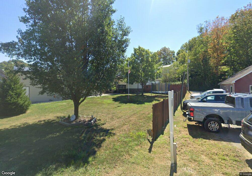
357 Main St West Union, WV 26456
Estimated Value: $114,000 - $324,000
4
Beds
2
Baths
2,000
Sq Ft
$107/Sq Ft
Est. Value
About This Home
This home is located at 357 Main St, West Union, WV 26456 and is currently estimated at $213,523, approximately $106 per square foot. 357 Main St is a home located in Doddridge County with nearby schools including Doddridge County Elementary School, Doddridge County Middle School, and Doddridge County High School.
Ownership History
Date
Name
Owned For
Owner Type
Purchase Details
Closed on
Feb 12, 2013
Sold by
Jelt Edward
Bought by
Mayle Rocky E and Mayle Lori B
Current Estimated Value
Home Financials for this Owner
Home Financials are based on the most recent Mortgage that was taken out on this home.
Original Mortgage
$11,200,000
Outstanding Balance
$8,646,947
Interest Rate
6%
Mortgage Type
Stand Alone Refi Refinance Of Original Loan
Estimated Equity
-$8,433,424
Purchase Details
Closed on
Aug 15, 2008
Sold by
Stickel Michael W and Stickel Alice F
Bought by
Jett Edward
Create a Home Valuation Report for This Property
The Home Valuation Report is an in-depth analysis detailing your home's value as well as a comparison with similar homes in the area
Home Values in the Area
Average Home Value in this Area
Purchase History
| Date | Buyer | Sale Price | Title Company |
|---|---|---|---|
| Mayle Rocky E | $125,000 | -- | |
| Jett Edward | -- | -- |
Source: Public Records
Mortgage History
| Date | Status | Borrower | Loan Amount |
|---|---|---|---|
| Open | Mayle Rocky E | $11,200,000 |
Source: Public Records
Tax History Compared to Growth
Tax History
| Year | Tax Paid | Tax Assessment Tax Assessment Total Assessment is a certain percentage of the fair market value that is determined by local assessors to be the total taxable value of land and additions on the property. | Land | Improvement |
|---|---|---|---|---|
| 2025 | $1,291 | $90,420 | $13,620 | $76,800 |
| 2024 | $1,241 | $88,260 | $12,900 | $75,360 |
| 2023 | $1,230 | $86,820 | $12,540 | $74,280 |
| 2022 | $1,209 | $84,960 | $10,740 | $74,220 |
| 2021 | $1,111 | $77,520 | $10,380 | $67,140 |
| 2020 | $1,088 | $76,380 | $10,380 | $66,000 |
| 2019 | $1,065 | $74,940 | $10,380 | $64,560 |
| 2018 | $1,071 | $74,160 | $10,380 | $63,780 |
| 2017 | $1,054 | $72,360 | $10,020 | $62,340 |
| 2016 | $1,050 | $134,520 | $9,480 | $125,040 |
| 2015 | $1,036 | $130,560 | $9,840 | $120,720 |
| 2014 | $1,021 | $68,520 | $9,840 | $58,680 |
Source: Public Records
Map
Nearby Homes
- 50 Wine Ln
- 46 Grand Ave
- 856 Arnolds Creek Rd
- 1638 Crystal Lake Rd
- 102 Sutton Ave
- 650 Sam Cavins Rd
- 66 Cedar Ln
- 3021 Rock Run Rd
- 17579 Middle Island Rd
- 180 Ross Run
- 0 Porto Rico Rd Unit 24306275
- 220 Ross Run Fork
- 2090 Big Flint Rd
- 0 04-3-00110001 Unit 5153725
- RT 64 Braden Hill Rd
- 0 Old Us 50
- 12911 W Virginia 23
- 708 E Penn Ave
- 417 E Myles Ave
- 302 E Myles Ave