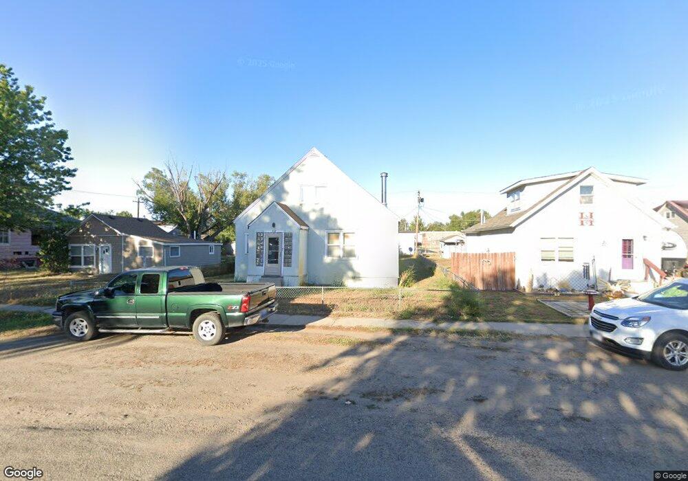
357 N 8th Ave Forsyth, MT 59327
Estimated Value: $131,000 - $198,000
2
Beds
2
Baths
840
Sq Ft
$191/Sq Ft
Est. Value
About This Home
This home is located at 357 N 8th Ave, Forsyth, MT 59327 and is currently estimated at $160,312, approximately $190 per square foot. 357 N 8th Ave is a home with nearby schools including Forsyth Elementary School, Forsyth Junior High School, and Forsyth High School.
Ownership History
Date
Name
Owned For
Owner Type
Purchase Details
Closed on
Nov 20, 2014
Bought by
Lamb Robert
Current Estimated Value
Home Financials for this Owner
Home Financials are based on the most recent Mortgage that was taken out on this home.
Original Mortgage
$43,000
Interest Rate
3.11%
Mortgage Type
New Conventional
Purchase Details
Closed on
Oct 24, 2014
Sold by
Chan Hee Yan and Chan Ah Mooi
Bought by
Lamb Robert E
Home Financials for this Owner
Home Financials are based on the most recent Mortgage that was taken out on this home.
Original Mortgage
$43,000
Interest Rate
3.11%
Mortgage Type
New Conventional
Purchase Details
Closed on
Feb 7, 2011
Sold by
Mcmillan Jane M
Bought by
Lamb Jane M
Create a Home Valuation Report for This Property
The Home Valuation Report is an in-depth analysis detailing your home's value as well as a comparison with similar homes in the area
Purchase History
| Date | Buyer | Sale Price | Title Company |
|---|---|---|---|
| Lamb Robert | -- | -- | |
| Lamb Robert | -- | None Available | |
| Lamb Robert E | -- | None Available | |
| Lamb Jane M | -- | -- |
Source: Public Records
Mortgage History
| Date | Status | Borrower | Loan Amount |
|---|---|---|---|
| Previous Owner | Lamb Robert E | $43,000 | |
| Closed | Lamb Robert | $43,000 |
Source: Public Records
Tax History
| Year | Tax Paid | Tax Assessment Tax Assessment Total Assessment is a certain percentage of the fair market value that is determined by local assessors to be the total taxable value of land and additions on the property. | Land | Improvement |
|---|---|---|---|---|
| 2025 | $517 | $102,500 | $0 | $0 |
| 2024 | $553 | $82,700 | $0 | $0 |
| 2023 | $715 | $82,700 | $0 | $0 |
| 2022 | $1,100 | $78,500 | $0 | $0 |
| 2021 | $1,054 | $78,500 | $0 | $0 |
| 2020 | $872 | $62,500 | $0 | $0 |
| 2019 | $863 | $62,500 | $0 | $0 |
| 2018 | $933 | $70,600 | $0 | $0 |
| 2017 | $593 | $70,600 | $0 | $0 |
| 2016 | $857 | $67,700 | $0 | $0 |
| 2015 | $616 | $67,700 | $0 | $0 |
| 2014 | $363 | $22,790 | $0 | $0 |
Source: Public Records
Map
Nearby Homes
Your Personal Tour Guide
Ask me questions while you tour the home.