357 Nomad Dr Bellvue, CO 80512
Estimated Value: $797,775 - $1,346,000
4
Beds
3
Baths
3,077
Sq Ft
$344/Sq Ft
Est. Value
About This Home
This home is located at 357 Nomad Dr, Bellvue, CO 80512 and is currently estimated at $1,058,944, approximately $344 per square foot. 357 Nomad Dr is a home located in Larimer County with nearby schools including Stove Prairie Elementary School, Cache La Poudre Middle School, and Poudre High School.
Ownership History
Date
Name
Owned For
Owner Type
Purchase Details
Closed on
Aug 1, 2006
Sold by
Deneff William I and Deneff Jo Ann
Bought by
Deneff Michael J and Deneff Wendy S
Current Estimated Value
Home Financials for this Owner
Home Financials are based on the most recent Mortgage that was taken out on this home.
Original Mortgage
$232,000
Outstanding Balance
$138,227
Interest Rate
6.62%
Mortgage Type
Purchase Money Mortgage
Estimated Equity
$920,717
Purchase Details
Closed on
Oct 15, 1998
Sold by
Deneff William I
Bought by
Deneff Michael J and Deneff Wendy S
Create a Home Valuation Report for This Property
The Home Valuation Report is an in-depth analysis detailing your home's value as well as a comparison with similar homes in the area
Home Values in the Area
Average Home Value in this Area
Purchase History
| Date | Buyer | Sale Price | Title Company |
|---|---|---|---|
| Deneff Michael J | -- | Fahtco | |
| Deneff Michael J | -- | -- |
Source: Public Records
Mortgage History
| Date | Status | Borrower | Loan Amount |
|---|---|---|---|
| Open | Deneff Michael J | $232,000 |
Source: Public Records
Tax History Compared to Growth
Tax History
| Year | Tax Paid | Tax Assessment Tax Assessment Total Assessment is a certain percentage of the fair market value that is determined by local assessors to be the total taxable value of land and additions on the property. | Land | Improvement |
|---|---|---|---|---|
| 2025 | $4,184 | $52,897 | $10,720 | $42,177 |
| 2024 | $3,954 | $52,897 | $10,720 | $42,177 |
| 2022 | $3,078 | $36,870 | $8,264 | $28,606 |
| 2021 | $3,103 | $37,930 | $8,501 | $29,429 |
| 2020 | $3,517 | $42,571 | $4,862 | $37,709 |
| 2019 | $3,535 | $42,571 | $4,862 | $37,709 |
| 2018 | $2,695 | $33,602 | $3,816 | $29,786 |
| 2017 | $2,684 | $33,602 | $3,816 | $29,786 |
| 2016 | $1,951 | $24,278 | $3,821 | $20,457 |
| 2015 | $1,935 | $24,280 | $3,820 | $20,460 |
| 2014 | $1,145 | $14,260 | $3,380 | $10,880 |
Source: Public Records
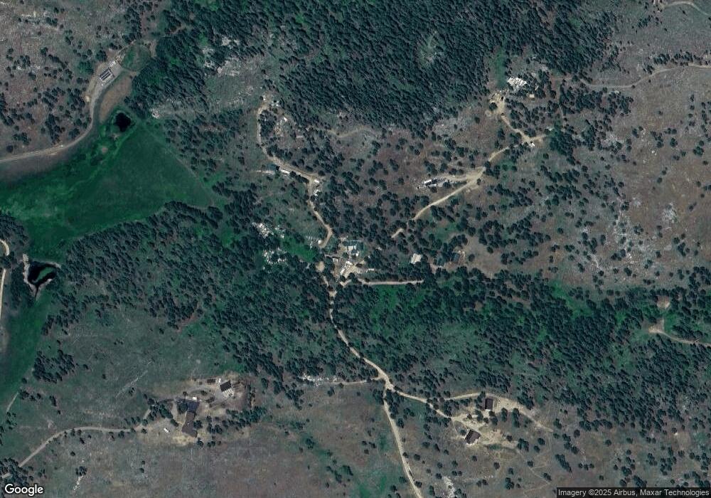
Map
Nearby Homes
- 427 Wilderness Ridge Way
- 0 Rist Creek Rd Unit 4284551
- 0 Rist Creek Rd Unit REC4803675
- 14884 Rist Canyon Rd
- 0 Tbd Stratton Park Rd Lot 3
- 0 Davis Ranch Rd Unit 1048176
- 4119 Davis Ranch Rd
- 3805 Davis Ranch Rd
- 3434 Davis Ranch Rd
- 3235 Davis Ranch Rd
- 200 Falls Creek Dr
- 620 Davis Ranch Rd
- 552 Blue Grouse Ln
- 520 Isaac Ln
- 0 Falls Creek Dr Unit 1048302
- 0 Wild River Rd Unit 1034487
- 0 Rd
- 0 Pine Acres Rd Unit 1041697
- 0 Tip Top Rd
- 269 Cox Ct
- 352 Nomad Dr
- 352 Nomad Dr
- 413 Nomad Dr
- 351 Nomad Dr
- 306 Nomad Dr
- 306 Nomad Dr
- 435 Nomad Dr
- 228 Stratton Park Rd
- 13850 Rist Canyon Rd
- 267 Emerald Glade Ln
- 13601 Rist Canyon Rd
- 13857 Rist Canyon Rd
- 272 Emerald Glade Ln
- 13000 Rist Canyon Rd
- 13863 Rist Canyon Rd
- 13238 Rist Canyon Rd
- 133 Mountain Meadow Ln
- 276 Emerald Glade Ln
- 276 Emerald Glade Ln
- 13567 Rist Canyon Rd