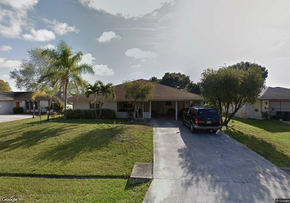
357 NW Curry St Port Saint Lucie, FL 34983
Northport Village NeighborhoodEstimated Value: $359,000 - $426,000
3
Beds
2
Baths
2,388
Sq Ft
$165/Sq Ft
Est. Value
About This Home
This home is located at 357 NW Curry St, Port Saint Lucie, FL 34983 and is currently estimated at $392,862, approximately $164 per square foot. 357 NW Curry St is a home located in St. Lucie County with nearby schools including Northport K-8 School, Parkway Elementary School, and Floresta Elementary School.
Ownership History
Date
Name
Owned For
Owner Type
Purchase Details
Closed on
Jun 10, 2004
Sold by
Dyon Terry J and Dyon Renee L
Bought by
Walker Anthony Todd and Walker Leshia A
Current Estimated Value
Home Financials for this Owner
Home Financials are based on the most recent Mortgage that was taken out on this home.
Original Mortgage
$166,250
Outstanding Balance
$81,759
Interest Rate
6.09%
Mortgage Type
Purchase Money Mortgage
Estimated Equity
$311,103
Create a Home Valuation Report for This Property
The Home Valuation Report is an in-depth analysis detailing your home's value as well as a comparison with similar homes in the area
Home Values in the Area
Average Home Value in this Area
Purchase History
| Date | Buyer | Sale Price | Title Company |
|---|---|---|---|
| Walker Anthony Todd | $175,000 | First American Title Ins Co |
Source: Public Records
Mortgage History
| Date | Status | Borrower | Loan Amount |
|---|---|---|---|
| Open | Walker Anthony Todd | $166,250 |
Source: Public Records
Tax History Compared to Growth
Tax History
| Year | Tax Paid | Tax Assessment Tax Assessment Total Assessment is a certain percentage of the fair market value that is determined by local assessors to be the total taxable value of land and additions on the property. | Land | Improvement |
|---|---|---|---|---|
| 2024 | $1,689 | $93,102 | -- | -- |
| 2023 | $1,689 | $90,391 | $0 | $0 |
| 2022 | $1,578 | $87,759 | $0 | $0 |
| 2021 | $1,468 | $85,203 | $0 | $0 |
| 2020 | $1,460 | $84,027 | $0 | $0 |
| 2019 | $1,433 | $82,138 | $0 | $0 |
| 2018 | $1,345 | $80,607 | $0 | $0 |
| 2017 | $1,320 | $151,600 | $28,000 | $123,600 |
| 2016 | $1,292 | $133,800 | $21,600 | $112,200 |
| 2015 | $1,512 | $104,800 | $14,000 | $90,800 |
| 2014 | $1,460 | $76,181 | $0 | $0 |
Source: Public Records
Map
Nearby Homes
- 341 NW Curry St
- 349 NW Avens St
- 425 NW Hutchins St
- 313 NW Dorchester St
- 432 NW Raymond Ln
- 515 NW Twylite Terrace
- 482 NW Marion Ave
- 150 NW Byron St
- 464 NW Ravenswood Ln
- 325 NW Rebecca Ave
- 357 NW Hogan St
- 551 NW Grenada St
- 434 NW Concord Dr
- 418 NW Airoso Blvd
- 517 NW Floresta Dr
- 324 NW Hogan St
- 514 NW Riverside Dr
- 280 NW Airoso Blvd
- 554 NW Twylite Terrace
- 247 NE Airoso Blvd
- 365 NW Curry St
- 349 NW Curry St
- 382 NW Curtis St
- 374 NW Curtis St
- 390 NW Curtis St
- 373 NW Curry St
- 358 NW Curry St
- 350 NW Curry St
- 366 NW Curtis St
- 366 NW Curry St
- 312 NW Floresta Dr
- 333 NW Curry St
- 342 NW Curry St
- 374 NW Curry St
- 358 NW Curtis St
- 334 NW Curry St
- 389 NW Curtis St
- 359 NW Byron St
- 367 NW Byron St
- 373 NW Curtis St