357 Pico Ct Fairbanks, AK 99709
Estimated Value: $199,000
1
Bed
1
Bath
520
Sq Ft
$383/Sq Ft
Est. Value
About This Home
This home is located at 357 Pico Ct, Fairbanks, AK 99709 and is currently estimated at $199,000, approximately $382 per square foot. 357 Pico Ct is a home located in Fairbanks North Star Borough with nearby schools including University Park Elementary School, Randy Smith Middle School, and West Valley High School.
Ownership History
Date
Name
Owned For
Owner Type
Purchase Details
Closed on
Oct 25, 2021
Sold by
S & W Enterprises Llc
Bought by
Fitzwater Isaac L
Current Estimated Value
Home Financials for this Owner
Home Financials are based on the most recent Mortgage that was taken out on this home.
Original Mortgage
$169,575
Outstanding Balance
$154,637
Interest Rate
2.8%
Mortgage Type
New Conventional
Estimated Equity
$44,363
Purchase Details
Closed on
May 7, 2018
Sold by
Plan Robert Fox Keogh
Bought by
S & W Enterprises Llc
Create a Home Valuation Report for This Property
The Home Valuation Report is an in-depth analysis detailing your home's value as well as a comparison with similar homes in the area
Home Values in the Area
Average Home Value in this Area
Purchase History
| Date | Buyer | Sale Price | Title Company |
|---|---|---|---|
| Fitzwater Isaac L | -- | Fidelity Title Agency | |
| S & W Enterprises Llc | -- | None Available |
Source: Public Records
Mortgage History
| Date | Status | Borrower | Loan Amount |
|---|---|---|---|
| Open | Fitzwater Isaac L | $169,575 |
Source: Public Records
Tax History Compared to Growth
Tax History
| Year | Tax Paid | Tax Assessment Tax Assessment Total Assessment is a certain percentage of the fair market value that is determined by local assessors to be the total taxable value of land and additions on the property. | Land | Improvement |
|---|---|---|---|---|
| 2025 | $1,899 | $117,541 | $11,606 | $105,935 |
| 2024 | $1,907 | $118,803 | $11,606 | $107,197 |
| 2023 | $1,822 | $115,228 | $11,606 | $103,622 |
| 2022 | $1,248 | $70,751 | $11,606 | $59,145 |
| 2021 | $1,291 | $66,692 | $11,606 | $55,086 |
| 2020 | $1,271 | $65,161 | $11,606 | $53,555 |
| 2019 | $1,239 | $63,991 | $11,606 | $52,385 |
| 2018 | $210 | $11,606 | $11,606 | $0 |
| 2017 | $197 | $11,606 | $11,606 | $0 |
| 2016 | $191 | $11,606 | $11,606 | $0 |
| 2015 | -- | $11,606 | $11,606 | $0 |
| 2014 | -- | $11,606 | $11,606 | $0 |
Source: Public Records
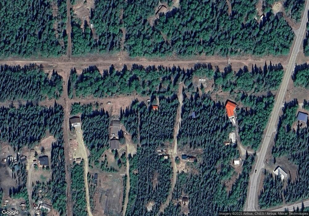
Map
Nearby Homes
- 446 Henderson Rd S
- 356 Louise Ln
- 248 Ester Dr
- 709 Ridgepointe Dr
- 805 Chena Hills Dr
- NHN Canterbury Dr
- 0 Canterbury Dr
- 3330 Moonshine Run
- NHN Northridge Rd
- nhn Ridgepointe Dr
- NHN Ellesmere Dr
- 0 Moominvalley Ct
- 608 Ridgecrest Dr
- 1230 Stillmont Dr
- nhn Solar Ave
- 1038 Horned Owl Ln
- 1260 March Dr
- 396 Nordstrasse
- 480 Kentshire Dr
- 1905 Chena Point Ave
- 362 Pico Ct
- 376 Pico Ct
- NHN Pico Ct
- 3284 Gold Hill Rd
- 3282 Goldhill Rd
- 3288 Goldhill Rd
- 469 Henderson Rd S
- 3266 Goldhill Rd
- 3296 Goldhill Rd
- 3275 Gold Hill Rd
- 464 Henderson Rd S
- 3292 Goldhill Rd
- 3292 Gold Hill Rd
- 3275 Goldhill Rd
- 462 Canary Ln
- 3241 Gold Hill Rd
- 470 Canary Ln
- 3251 Goldhill Rd
- 3241 Goldhill Rd
- 3231 Gold Hill Rd