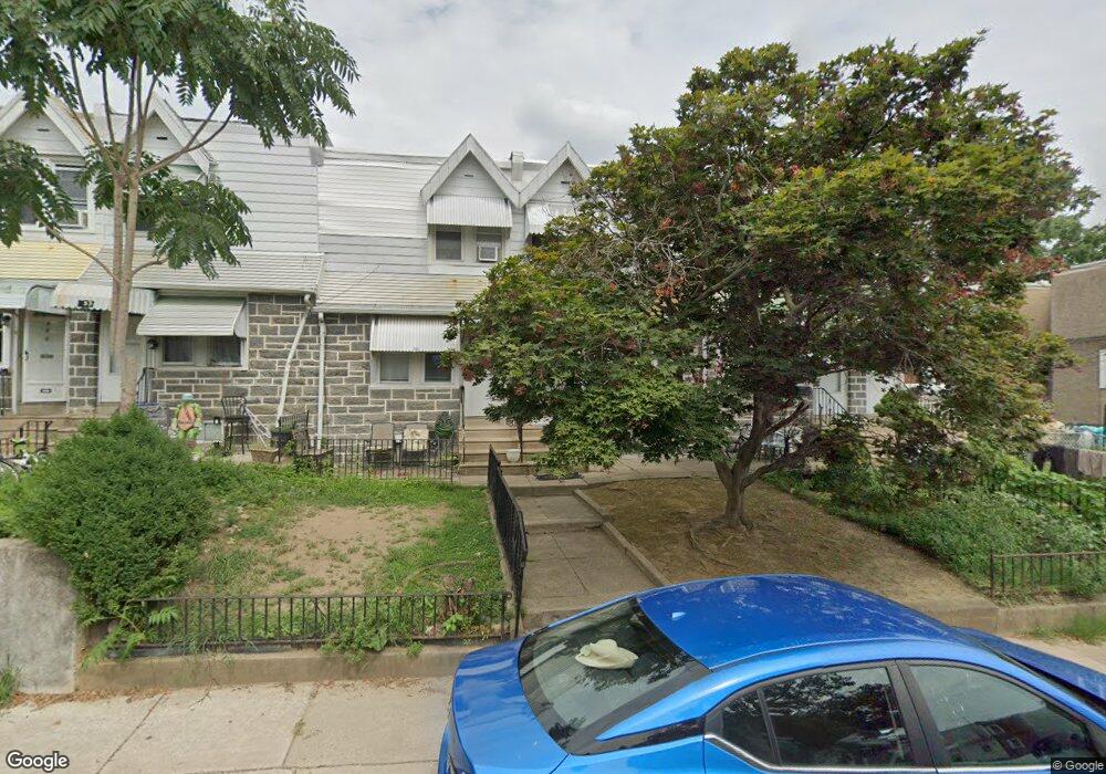
357 Richfield Rd Upper Darby, PA 19082
Estimated Value: $135,997 - $169,000
2
Beds
1
Bath
892
Sq Ft
$171/Sq Ft
Est. Value
About This Home
This home is located at 357 Richfield Rd, Upper Darby, PA 19082 and is currently estimated at $152,249, approximately $170 per square foot. 357 Richfield Rd is a home located in Delaware County with nearby schools including Bywood Elementary School, Upper Darby Kdg Center, and Upper Darby High School.
Ownership History
Date
Name
Owned For
Owner Type
Purchase Details
Closed on
May 26, 2005
Sold by
Hennelly David C and Hennelly Leslie A
Bought by
Choudhry Neelam
Current Estimated Value
Home Financials for this Owner
Home Financials are based on the most recent Mortgage that was taken out on this home.
Original Mortgage
$72,000
Outstanding Balance
$37,661
Interest Rate
5.79%
Mortgage Type
Fannie Mae Freddie Mac
Estimated Equity
$114,588
Create a Home Valuation Report for This Property
The Home Valuation Report is an in-depth analysis detailing your home's value as well as a comparison with similar homes in the area
Home Values in the Area
Average Home Value in this Area
Purchase History
| Date | Buyer | Sale Price | Title Company |
|---|---|---|---|
| Choudhry Neelam | $80,000 | -- |
Source: Public Records
Mortgage History
| Date | Status | Borrower | Loan Amount |
|---|---|---|---|
| Open | Choudhry Neelam | $72,000 |
Source: Public Records
Tax History
| Year | Tax Paid | Tax Assessment Tax Assessment Total Assessment is a certain percentage of the fair market value that is determined by local assessors to be the total taxable value of land and additions on the property. | Land | Improvement |
|---|---|---|---|---|
| 2025 | $3,005 | $71,050 | $21,830 | $49,220 |
| 2024 | $3,005 | $71,050 | $21,830 | $49,220 |
| 2023 | $2,976 | $71,050 | $21,830 | $49,220 |
| 2022 | $2,896 | $71,050 | $21,830 | $49,220 |
| 2021 | $3,905 | $71,050 | $21,830 | $49,220 |
| 2020 | $2,076 | $32,100 | $16,980 | $15,120 |
| 2019 | $2,040 | $32,100 | $16,980 | $15,120 |
| 2018 | $2,016 | $32,100 | $0 | $0 |
| 2017 | $1,964 | $32,100 | $0 | $0 |
| 2016 | $176 | $32,100 | $0 | $0 |
| 2015 | $180 | $32,100 | $0 | $0 |
| 2014 | $176 | $32,100 | $0 | $0 |
Source: Public Records
Map
Nearby Homes
- 321 Hampden Rd
- 312 Wiltshire Rd
- 334 Wiltshire Rd
- 345 Copley Rd
- 337 Copley Rd
- 232 Copley Rd
- 210 Copley Rd
- 212 Copley Rd
- 418 Littlecroft Rd Unit 6A
- 411 Millbank Rd
- 418 Hampden Rd
- 424 Woodcliffe Rd
- 417 Copley Rd
- 432 Grace Rd
- 138 Richfield Rd
- 234 Long Ln
- 232 Long Ln
- 519 Littlecroft Rd
- 227 Shirley Rd
- 233 Barrington Rd
- 359 Richfield Rd
- 355 Richfield Rd
- 353 Richfield Rd
- 351 Richfield Rd
- 349 Richfield Rd
- 319 Richfield Rd
- 317 Richfield Rd
- 315 Richfield Rd
- 313 Richfield Rd
- 311 Richfield Rd
- 309 Richfield Rd
- 307 Richfield Rd
- 305 Richfield Rd
- 303 Richfield Rd
- 301 Richfield Rd
- 248 Wembly Rd
- 242 Bayard Rd
- 332 Richfield Rd
- 330 Richfield Rd
- 328 Richfield Rd
Your Personal Tour Guide
Ask me questions while you tour the home.